This is all that’s showing for me via the Fly App for example of London. All my layers are turned on. ![]()

I can’t speak for the Fly app … but DS is showing GeoZones, and all other layers, perfectly OK, and with ALL layers on, there is nothing over Gilkicker.

Interesting… When I was flying down by Gilkicker early last year there was definitely an authorisation zone over Monckton. Maybe the MoD requested it be removed? Maybe they have their own equipment on site to deal with drones snooping around over its boundaries?
I wouldn’t like to test that theory though. ![]()
And how would that appear in the Fly app?
Naturally it wouldn’t but I’m not flying over the place when I’m next down there. ![]()
DJI’s web version of their GeoZones map is in 100% sync with DS … and nothing for that area.
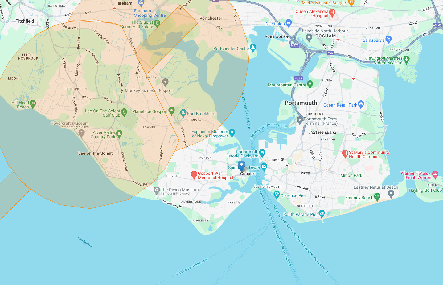
All I know is I’m missing a number of layers on my App. Including authorisation zones as I’ve just checked a local one which I know has one, but that’s missing as well. I’m sure it will right itself at some point.
Don’t mess with the Special Forces!