#MightHaveWanderedOffTopic. 
My video was perfect example of LIDAR sensors in use! LIDAR + Baro is the answer… 
LIDAR? It has lasers?
Most, if not all, DJI drones only use ultrasonic or infrared sensors.
Edit: Even the M3PE … “Omnidirectional binocular vision system, supplemented with an infrared sensor at the bottom of the aircraft.”
The ones we used to wrap string around the shaft and pull?
There’s a memory from a while back…
Back in the day when I worked for a defence contractor we built state of the are INAS ( inertial nav attack systems) for tornado jaguar and harrier they had a 3 axis gyro and accelerometers they were the size if a microwave very fragile took 20 mins to warm up needed to be told where they were (Lat/lon) and cost £2m a piece
Now they are in nearly every smart phone and watch
Governing where they shot missiles, etc,. I’m glad they weren’t using a Garmin watch. 
Yeah - old school inertial nav was something very different.
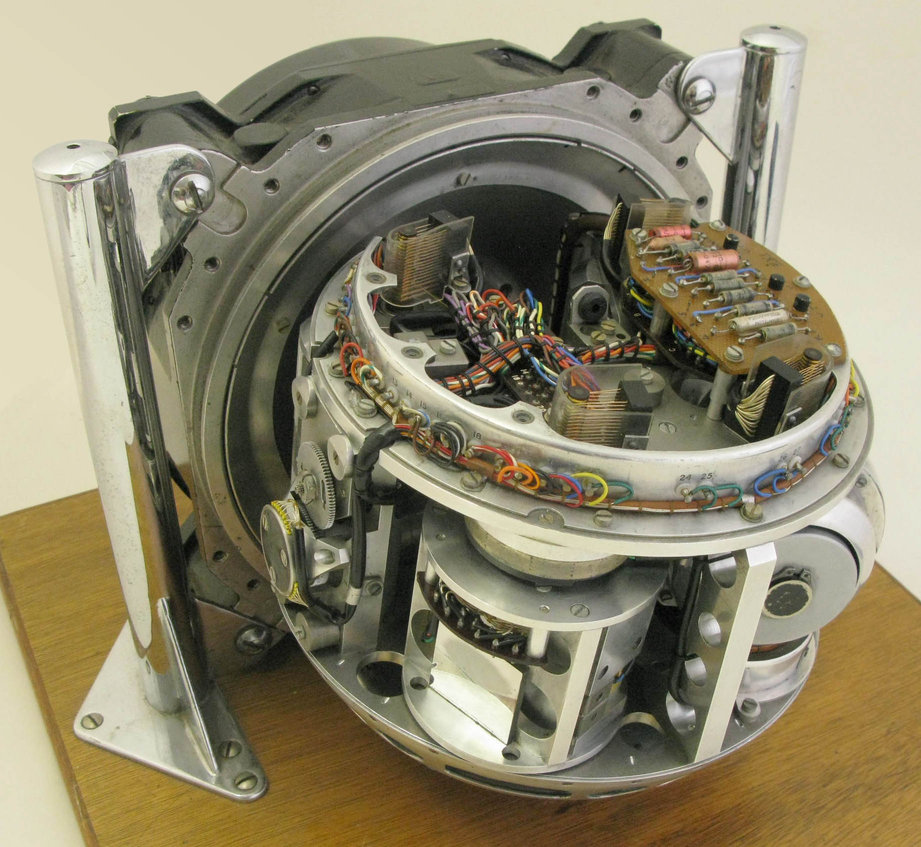
Running up Ben Nevis with one of those on your wrist would test your fitness … moments before it killed you. 
Would keep u warm though
Ran at60deg c
Anyone who does Geocacheing, knows that GPS is quite unreliable when your on a hillside searching for a geocache some other player has put there
That’s to do with the restricted horizon view needed for accurate horizontal postponing … the hill(s) being in the way.
There’s a website where the guy explains GPS in meticulous detail with interactive diagrams.
@BadManners Andrew, that’s my reading for tomorrow sorted