Unfortunately DNP drone policy was brought in after people were trying to film the ponies etc and harassing them. Also aircraft are allowed low level flights over large areas, I have heard of at least one incidence where the jet was lower than the drone…. I live on the edge of the moors and helicopters especially fly at very low altitudes.
Also large parts of the park are SSI’s, and bird nesting areas (which can change yearly depending on ground cover)
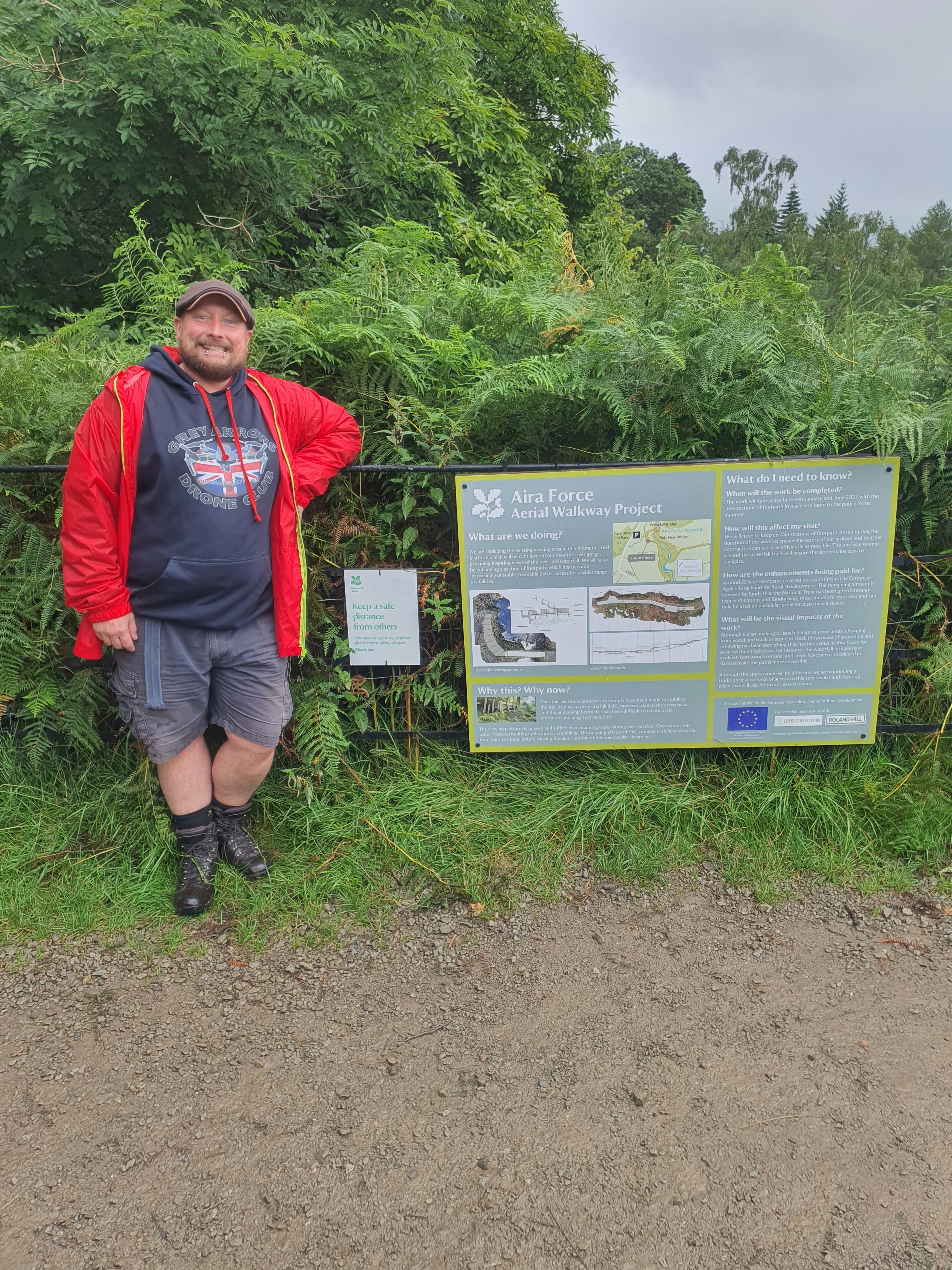
Was tempted to “upset” the trust whilst at Aira Force today was a little too wet for me to take the drone out so opted for a photo in my GADC hoodie with their signage.
Whilst pottering about there I did spot a chap carrying an Air 2 in his hand that looked like it had been up due to the amount of water on it and it still appeard switched on due to the light on it being lit.
If you are a member of the group can you share your footage as I’d love a look.
4 Likes
Loving the hoodie 
1 Like
Who’s living dangerously and flying an Air 2 in the rain? Expensive gamble there… 
3 Likes
I’m not sure where they were from. With out meaning to sound like a knobber, I don’t even think they were English. I’d take a punt at Thai or Vietnamese.
I was really hoping they were a member though!
But if your stand on public land and take a picture of my kids and private property was in the background that’s ok. Is a bit odd the rules change depending on what’s in your hand.
Thank you Phil! With my better half having recently purchased us a joint NT membership I was dismayed to see this information on the NT website (it’s still there as of 24/08/2021) and I was confused as they mention “byelaws” or some such nonsense as if they would overrule the CAA’s authority and the drone code.
I very much eagerly await any developments with this, as I believe the NT are actually breaking CAA rules by publishing this information.
Thanks for the reminder Ken. I’ve been meaning to follow up on this and it keeps slipping my mind. Age n all that  I’ll be on it tonight.
1 Like
I agree that there should certainly be restrictions observed for areas where wildlife may be ruinously disturbed by drones - nobody wants that, but that should be on a site by site basis, not a blanket “you can’t do this” even if the law states the contrary.
That is the beauty of the majority of restrictions put in place by certain SSSI and the Wildlife Trust. Unlike the NT, the Wildlife Trust have never had any bylaw in place with which to try and exploit. They and the likes of the RSPB, who maintain and administer the vast majority of coastal and river wetlands in the UK, have always gone down the route of working with local authorities through the Wildlife & Countryside Act to put restrictions in place and many of these are period specific and limited in scope (time of year, specific acreage etc)
It often astounds me how much some official public and some private bodies will just either talk complete and utter tosh or worse still out and out lie in their correspondence with those who ask questions they don’t really have answers to.
I think the change in the regulations in Jan corresponding with the proliferation in drone ownership has caught so many councils and official bodies completely on the hop and they realistically don’t now know which way to turn and now part of our job as responsible pilots is to first and foremost educate ourselves and in turn help educate them.
1 Like
I agree. Another thing we can do, other than ensure they understand their bylaws only cover activity on the ground and not in the air, is to set a good example and fly responsibly, not only within the remit of the drone code and the law, but also on an extended set of ethics. Something to the tune of “just because we can fly there, doesn’t mean we should” if it looks likely we’ll upset people or (more importantly) wildlife. That not only shows to the authorities that we intend to act responsibly but it may also change the public / general perception of us as operators which in turn may lessen the pressure those authorities feel they have on them to try to prohibit and restrict us unlawfully and unreasonably.
5 Likes
I fully agree and wonder what the NT have said to Google about their overflights and images?
2 Likes
I’ve a good idea what Googles response would be. Rhymes with truck cough.
Well at least you got a response ! As a fee paying NT member I wrote a similar piece to yours pointing out that their website is out of date etc etc, not a word from them even after a reminder email. I think they rely on people being ignorant of what they can and cannot do and therefore feel that dictate their own rules, but these days most responsible flyers know the regulations very well.
1 Like
I was about to say the same.
Also to note that the increasingly sophisticated Drone Prep map delineates land ownership and links to council policies where relevant. https://droneprep.uk/map-key/
https://dronescene.co.uk/ works better, has the NT boundaries and the up-to date council policy’s from FOI not the rubbish they post online
1 Like
Drone Prep … ah yes, the first step towards monetising airspace. As they say on their website:
“Your land makes you money – so can your airspace. Drone flight offers a potential additional revenue stream to landowners and partners.”
And, from one of the directors LinkedIn pages:
“DronePrep is a government backed software platform which is helping drone companies and end users unlock new possibilities in low-level airspace to enable new dynamic Drone use cases.”
Government backed …
2 Likes
Some shitty start up grant no doubt
1 Like
Droneprep does look pretty cool but it doesn’t really give much over drone scene (the who owns the land stuff is pretty cool but not cheap).
Not sure why anyone would choose it over the other options out there from drone prep, drone desk, drone deploy etc etc
2 Likes
I used to use droneprep for finding out which council the land came under but even then it was unreliable when it comes to country parks for example as despite being under a certain district council the main county council usually runs the park (but not always so when it comes to parks I always find myself just Googling the park anyway)
Now dronescene has that info especially as I really only used it to then reverse check bye laws it’s a step I no longer do as just use dronescene.
Droneprep did help the West Midlands Facebook group out recently in finding some farmland to fly out of at short notice for a group meet due the recent revelation of Birmingham (as well as Warwickshire) banning drones in their public parks which is a bit of a double whammy for us midlanders on that side of both county lines (e.g me)
2 Likes