RTF Competition - January 29th to February 11th 2023 - River(s) - Winners Announced

@group-challenges

Your selection for the subject of the RTF Competition from January 29th to February 11th 2023 is:

Have fun and create something wonderful!

Now for the boring small print, (reproduced here at normal size):

RTF RULES
Scope

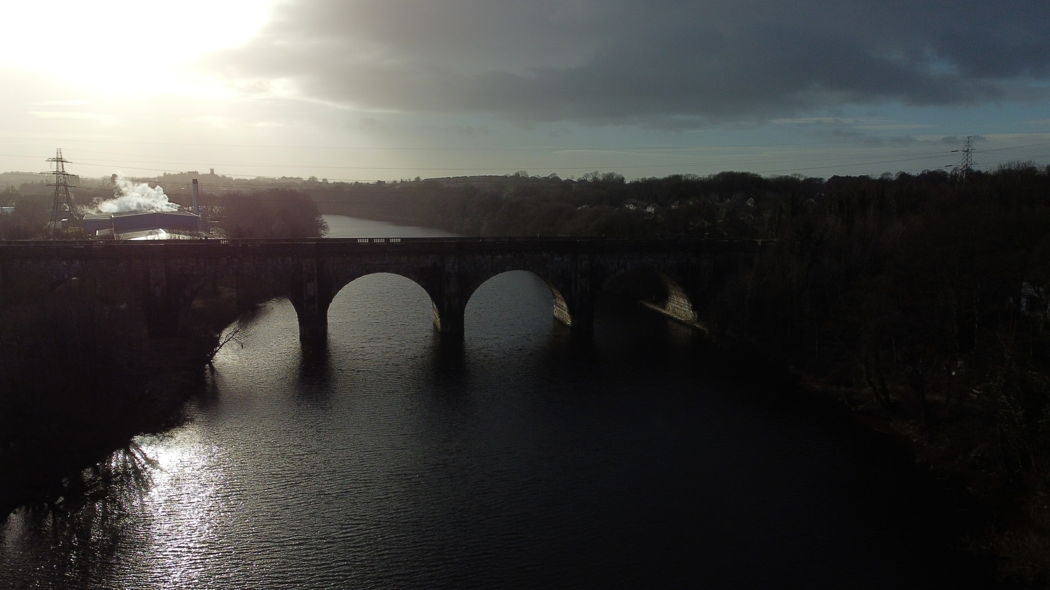
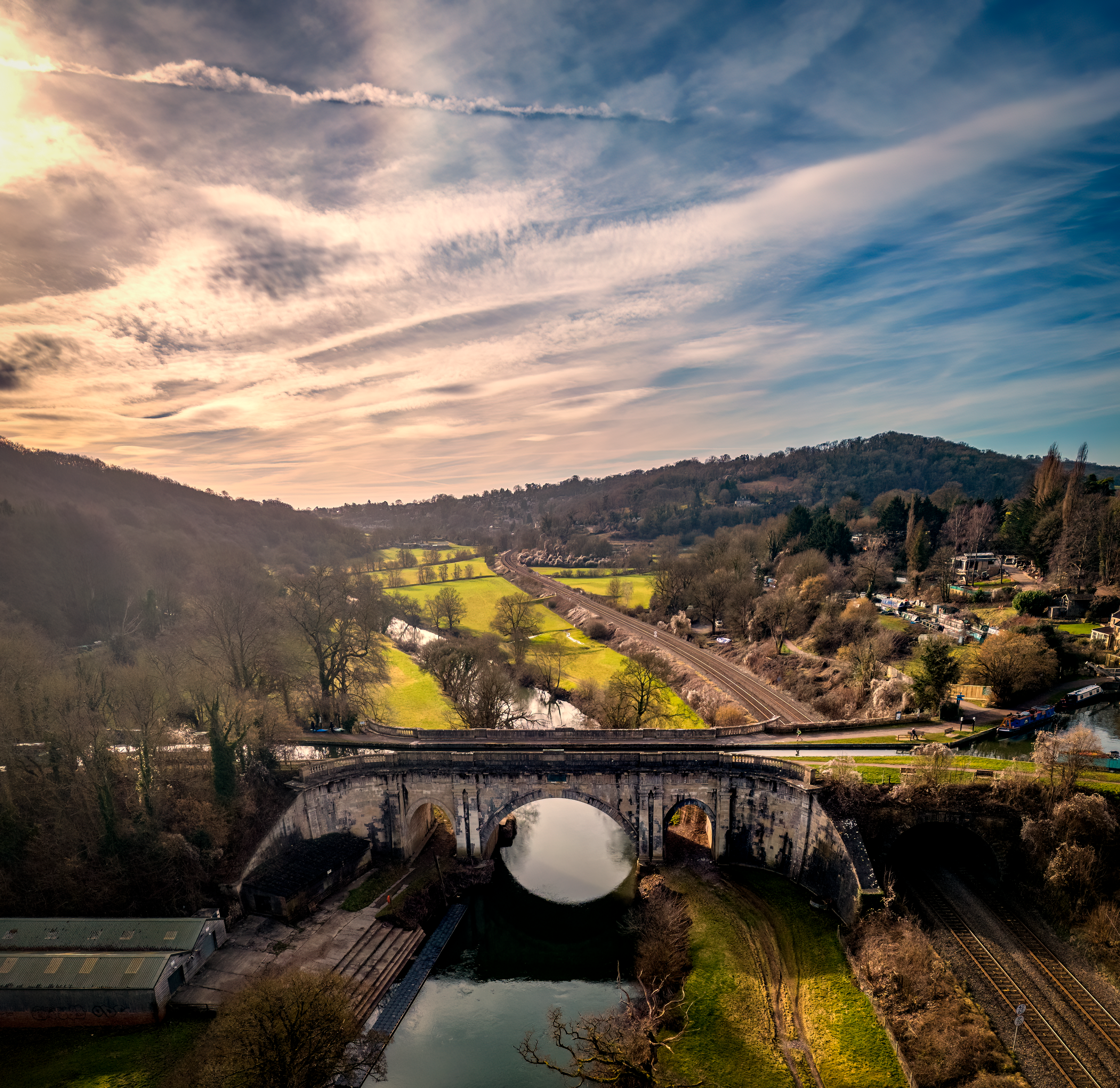
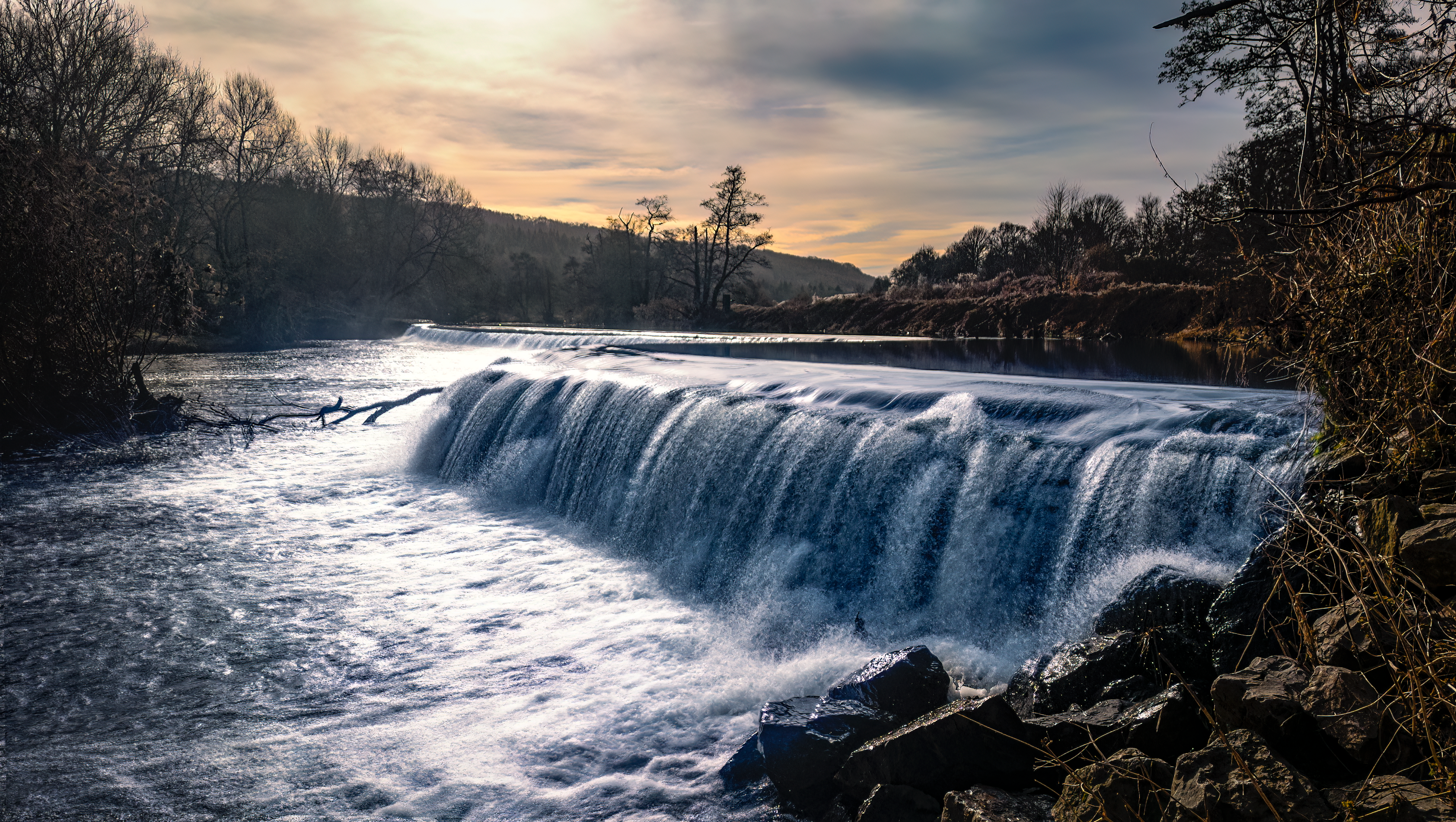
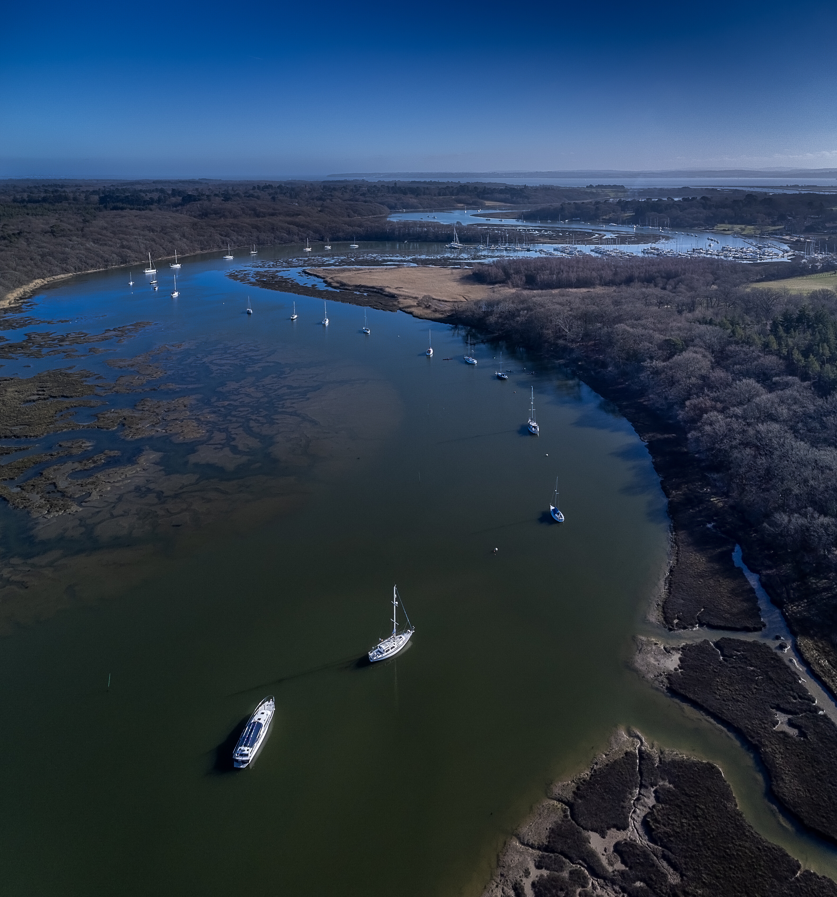
The requirement is to submit a still image to illustrate the subject of the competition. The subject for the competition running from 00:01 Sunday, January 29th to 23:00 Saturday, February 11th 2023 is River(s)

The image must be captured during the time that the competition is open and obviously be taken by a drone in flight - so somewhat higher than your eyeline please!

Editing is confined to colour and exposure adjustments and crop only. There must be no removal or pasting of an object.

You can create as many images as you wish and submit the best in this thread. However, only one image will be accepted for judging. If you wish to show multiple entries please place each in a separate post and indicate which one you wish to be your competition entry - otherwise your last submitted image will be placed in the poll. Basically, if you have a selection of images of the same subject, have the courage of your convictions and post only the one that you think is best

Images must be posted with the following information as a minimum:

  • Location
  • Time and date
  • Aircraft/camera used
  • Feel free to add any further information that you think will be of interest

Voting

Images will be judged by the members of GADC who may vote for any number of images by means of an anonymous poll open for two days after the closing date for competition entries.

Voting in the poll is open to all GADC members, whether they have entered the competition or not.

You may vote for all, some or none of the entries.

The original media may be requested by the judges in case of a dispute.

Schedule

The competition subject will be announced every second Saturday around 22:30. The subject will be chosen by a poll of GADC members selecting from three that have been picked at random from the subject list. You may make additions to the list at any time.

The competition will run from Sunday 00.01 to Saturday 23.00 fourteen days later. Voting by poll will be open for a further two days until Monday 22:00

The winner, second and third-placed competitors will be announced shortly after the vote is closed and counted

Have Fun! Be Safe!

All flights are the sole responsibility of the individual conducting them. Each competitor must abide by the drone code and adhere to the limitations and restrictions imposed upon them by aviation law, the aircraft being used and the qualifications they hold. Landowners’ wishes and permissions must be respected and adhered to. If a flight is undertaken in a restricted zone proof of permission having been granted is required.

2 Likes

Had quite a few subjects around water recently, where’s a drought when you need one :smiley:

If it had been lone tree, I was expecting several roundabouts :joy:

1 Like

Lune Aquaduct and the River Lune, Lancaster

Designed by John Rennie, and opened in 1797, the aquaduct carries the Lancaster Canal over the River Lune.

Pic facing Southwest, with Lancaster Castle on the horizon

DJI Mini 2, 14:07 30/1/23 - Dronescene location Where can I fly my drone in the UK? - Lune Aquaduct - Rivers and Canals in North West

5 Likes

Avoncliff, West Wiltshire

  • Drone: Mini 3 Pro
  • Time: Sunday, 05 Feb 2023, 10:30
  • Drone Scene: here

Avoncliff boasts the only aquaduct in Britain to have it’s own railway station. It is over 100 metres long and 18 metres wide, carries the Kennet & Avon Canal over the River Avon. It was built by the architect and engineer, John Rennie. The same chap who built Dundas Aquaduct just to the north.

Just to the east of the aquaduct on the River Avon is Avoncliff Weir, it is believed that this was originally built more than 1,000 years ago. The weir retains roughly 2m vertical head of water.

Running adjacent to the hamlet is the GWR railway line (left of the photo) and the Kennet & Avon canal (right of the photo).

More Info

8 Likes

Dundas Aquaduct over the River Avon, Somerset / Wiltshire border

  • Drone: Mini 3 Pro
  • Time: Sunday, 05 Feb 2023, 11:08
  • Drone Scene: here

Photo of the Kennet and Avon Canal crossing the River Avon at Dundas Aquaduct, on the the Somerset / Wiltshire border.

It was designed by John Rennie and chief engineer John Thomas between 1797 and 1801, and completed in 1805. The spectacular Dundas Aqueduct carries the Kennet & Avon Canal over the River Avon and is a Scheduled Ancient Monument. It was the first canal structure to be designated as a Scheduled Ancient Monument in 1951. Running along side is the Bath to Westbury railway line.

6 Likes

Three posts in a row featuring John Rennie’s work :slight_smile:

1 Like

Scotland must be proud of John Rennie. He appears in the Top 12 Civil Engineers of all time.

Most famous for Waterloo Bridge, the New London Bridge and Southwark Bridge over the River Thames. He also spent a shed load of time upgrading the Kennet and Avon canal.

1 Like

Bathampton Weir, the River Avon, Bath

  • Drone: Mini 3 Pro
  • Time: Sunday, 05 Feb 2023, 12:09
  • Drone Scene: here

Bathampton Weir on the River Avon is about 600 years old, built originally to provide enough depth for the waterwheels for the early grain mills on both sides of the river. You can still see the hole where the original wheel was housed on the south side of the river. This is now situated in the garden of Bathampton Mill, a large, riverside pub. The weir is a favourite place for wild swimming!

Bathampton Toll Bridge is an arch bridge carrying a minor road across the River Avon near Bathampton, to the east of Bath. It is a Grade II listed structure. The bridge was built of Bath stone by Hickes and Isaac in 1872, for the Bridge Company Turnpike Trust.

3 Likes

ENTRY
River Aire & Calder Navigation, Castleford.
Queen’s Mill / Millennium Bridge.
05/2/2023 - 17:18
DJI Mini 3 Pro.
ISO 100.
Shutter 1/4s, 0ev.

4 Likes

ENTRY

Pulteney Bridge, the River Avon, Bath

  • Drone: Mini 3 Pro
  • Time: Sunday, 05 Feb 2023, 13:08
  • Drone Scene: here

One of the most photographed examples of Georgian architecture in the city and one of only four bridges in the world to have shops across its full span on both sides, Pulteney Bridge was designed in 1769 by Robert Adam.

The bridge is named after Frances Pulteney, wife of William Johnstone Pulteney. William was an important man in Georgian Bath, owning a lot of land in the surrounding area. He had grand plans to create a ‘new town’ to rival that of John Wood’s on the west side of the city.

His grand scheme needed a new bridge and he didn’t want just any old bridge, he wanted a spectacular bridge, one which everyone would talk about. The architecture is classical, with pediments, pilasters and tiny leaded domes at either end.

8 Likes

The uk really has places like that :flushed::star_struck: I need to get out more !

2 Likes

Warleigh Weir, the River Avon, Near Bath

Drone: Mini 3 Pro
Time: Sunday, 05 Feb 2023, 11:33
Drone Scene: here

Warleigh Weir is a river structure located on the River Avon in Somerset, near Bath. The weir was originally built to supply a head of water to a grist mill in Claverton. The weir was subsequently raised by a height of 12 inches between 1809 and 1813 as part of the construction program for the Claverton Pumping Station, which sits on the site of the old grist mill.

The weir is accessed from the adjacent island which is created from the bifurcation of the river running to the Claverton Pumping station and the main flow of the River Avon. The weir and the bridge to the island are both owned by the Canal and River Trust.

7 Likes

Ferry Bridge over the River Trent with St Peter’s Bridge and the Church that gave it its name in the background. In the distance just standing above the tree canopy stands the disused Winshill Water Tower.

Photo taken 05/02/2023 at 1509 hrs with mini 3 Pro.
Photo is an HDR merge of 5 x AEB DNGs edited in Lightroom Classic.

The Ferry Bridge was gifted to the town by Michael Arthur Bass (at the time, Baron, later to become Lord) to replace a simple ferry boat that operated at around the same site. Built by local engineering company, Thornewill and Warham, it was opened in 1889, the same year as the Eiffel Tower in Paris, but was met with much greater initial enthusiasm! Very shortly afterwards, iron construction was largely replaced with superior steel and it remains one of Burton’s most distinctive landmarks.

St Peters Church has had a long and chequered history with various stages of building,demolishing and rebuilding. The increase in population in the 1860s and 1870s necessitated a larger building, and money was raised to rebuild the church in its present form in 1881. The main benefactors were members of the Clay family and Burton brewing firms.

St Peter’s Bridge, built between 1983 and 1985, is 800m long with nine spans between eight sets of concrete piers with support bearings on top of the piers to allow for movements of the bridge deck above under traffic loading and temperature variations. The structure is the newest road crossing of the Trent and one of only three to have been built since 1915 (the others being the M180 and the A50).

Winshill Water Tower (also known as Waterloo Tower) was constructed in 1907 after a local resident won a Court ruling against the South Staffordshire Waterworks Company for poor water-supply pressure. The brick tower held a cast-iron water tank at a height of 80 feet (24 m) to provide sufficient water pressure. Constructed on Burton’s highest point known as Waterloo Clump, the tower is visible from across the town and is a well known local landmark. The tower ceased to have any role in water supply in the 1990s but has since been used as a radio tower.

6 Likes

@clinkadink Awsome picture Chris, used to visit Bath with work, but never got to see majestic places like that. :clap:

2 Likes

Reminds me of Venice the buildings :smiley:

1 Like

Beaulieu River or Bucklers Hard Boat Yard depending on where you’re coming from.

There’s a 2.5 mile walk from Beaulieu village to Bucklers Hard boat yard along the Solent Way, there’s a number of places to TOAL but the observation platform listed in the drone scene pin gives you the best visibility up and down the river.

This point is about 1/2 way between Beaulieu village and the sea, the river snakes its way to the Solent and the Isle of Wight can be seen on the horizon.

Taken with DJI Mini 2:
1/2000 second ss @ f 2.8 ISO 100
dronescene : here

4 Likes

Knaresborough Viaduct over the River Nidd.
08/2/2023 - 11:38
DJI Mini 3 Pro.
ISO 100.
Shutter 1/1000s, -0.3ev.

5 Likes

Nice shot.

How long did you have to wait for the train?

1 Like

@DroneGeek Thank you, I was quite lucky as I’d just sent the drone up to position, heard a train horn and out it popped from the left travelling very slow, 1st pic caught the front end and this one was the 2nd pic. The reflection on the water of the bridge went not long after too as the breeze picked up.

1 Like