Hi all,
Sorry about the title but this is my first post and I had a pop up asking if the title sounded interesting enough.
I have very limited drone experience as in laws etc but some flying experience of small toy drones. I have wanted a proper drone for a while but cost and red tape has discouraged me until last Thursday when in a fit of you only live once I bought a Mavic Mini 2 after realising that within reason there are no restrictions on them with the new rules.
So here is my issue, I know a little about my responsibilities but have no practical experience of the laws as up until now I have only flown inside my house or garden.
I have an operators ID which is about to expire in a month which I took only out of curiosity without any preparation or knowledge and passed first time.
I intend to be as responsible as I possibly can be so I looked at UAV forecast app and it said flying is not possible for the next couple of days due to wind and weather conditions so I have been very sensible and had only a quick flight around my garden below the fence level just to practice a bit of manoeuvring and get a feel for the Mini 2.
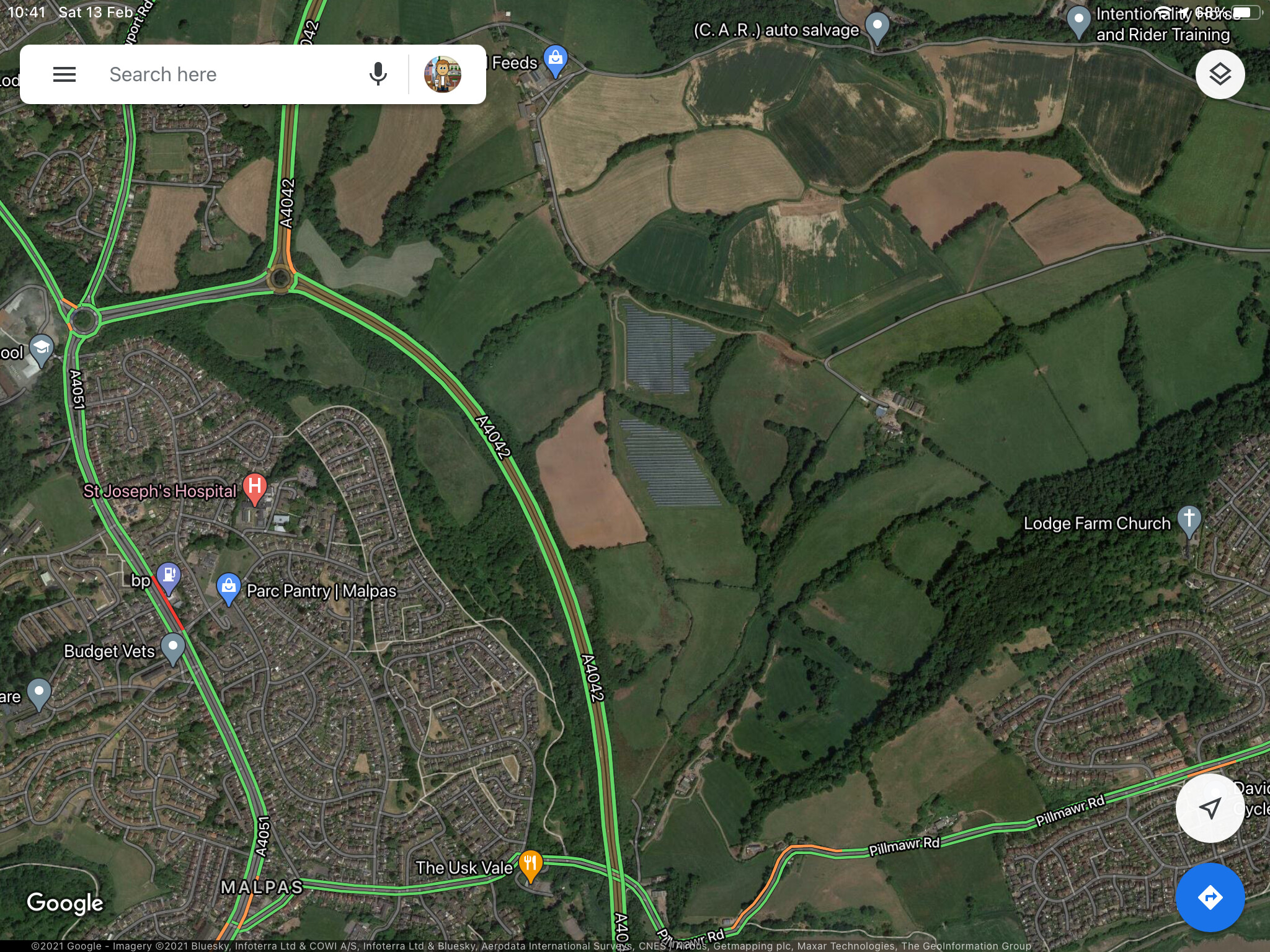
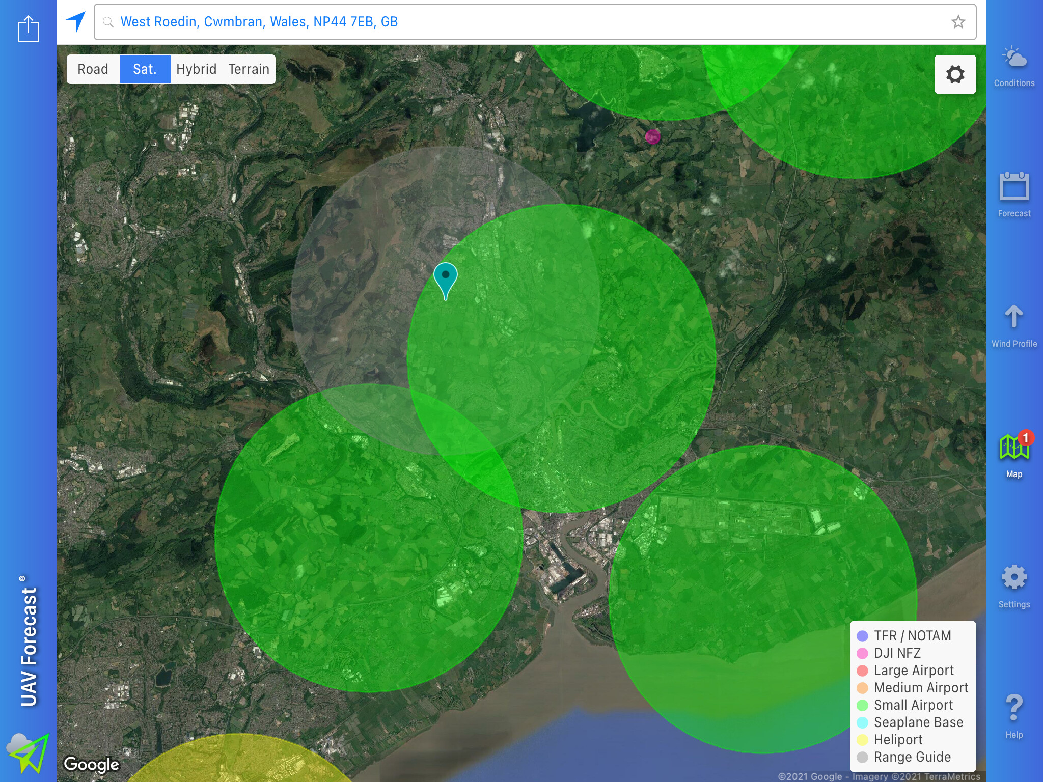
But here is the problem UAV forecast says that I live just inside the 5km restriction zone of a small airport!? In the 16 years I had lived at my house I have only ever seen the police helicopter in my area. When I zoom in on this apparent airport on google maps it looks like nothing more than a rolled out piece of grass in a field with no buildings for storage of aircraft and the access to the field looks like you would need a tractor to enter.
So my question is what is classified as an airport by the CAA? And is the fact that this strip of grass has shown up on UAV forecast enough to get me prosecuted for flying. And if I can fly what steps do I need to take to be safe and legal?
As you can imagine having just spent just the money on the drone and then to find out that it could be illegal to fly near my home, it’s pretty disappointing.
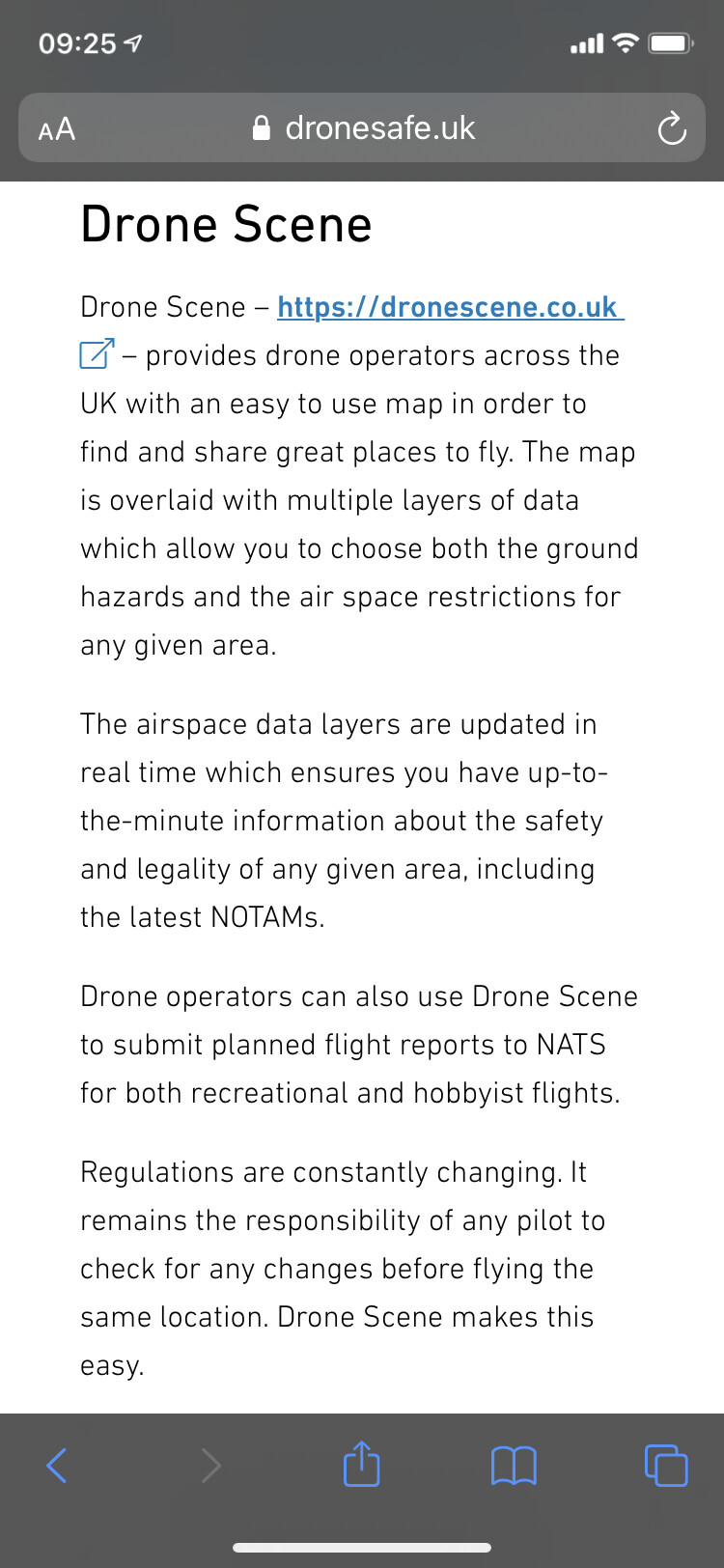
Which, for the data it provides, is the identical data to that provided by Drone Scene … but Drone Assist doesn’t show the additional data that Drone Scene provides : DJI Geo Zone overlay, National Trust overlay, Crown Estates Foreshores overlay, nor does it remember which layers you want to see the next time you use it.
Remember - Drone Assist is designed by a government department that don’t give a fig about drone pilots, but Drone Scene has been designed by drone pilots for drone pilots.
First: There is a difference begtween an airport and an airfield. The former has customs/border staff,the latter usually private does not - and may be owned by a club or single individual or private/official company. If you can find the owner/operator best ask them about flying restriction in their area. The airfield may well be licensed (or not) by the CAA. If it is it will have an official licence number. Many farmers have a landing strip on their land for their own use…unlicensed/unregistered. What is the area you wish to operate in as I may be able to help further (ex CAA).
Thank you for the welcome.
Since making my post I have found the airport on dronescene. It wasn’t showing very much as I did not have the map zoomed in enough. There are quite a lot of restrictions close by that I can now see, so this airport might not be my biggest concern.
Armed with the dronescene info I’m going to go out locally and fly when the weather is better and I’m not restricted by lockdown.
That’s great to hear, would be a shame to give up before you’ve even started it’s such a buzz being in the air, you will have a fleet before you know it.
I feel your pain Martyn I bought a drone and THEN realised I live right on the middle of this lovely red and yellow pattern…
I foolishly assumed that, as I have buildings nearby that are six floors high, I’d at least be able to go up to 20 feet or something but nope it’s no flying at all even on the beach
Yes I took it last year. I was not taking it seriously as I did not revise or study for it. I just took the test and because I passed and it was only a £9 fee I paid up. Of course since then I have forgotten most if not all of what I did know. Hence the need for asking these questions. It feels like I’m on a bit of a steep learning curve at the moment.
Honestly that is entirely possible. Which is why it scares me so much that I want to learn to do something where I have to concentrate and coordinate at the same time.