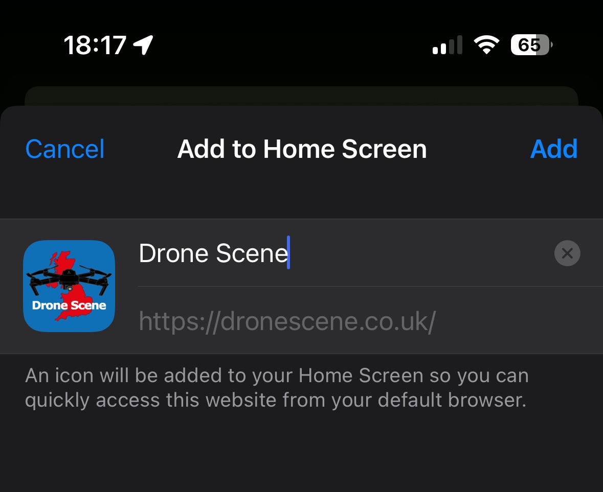
Open DroneScene in safari , tap the share button
Then add to Home Screen
Brilliant - thank you
And you can do the same for Greyarrows ![]()
And that’s why you should use Dronescene and not the others. An answer to your question within minutes of asking.
Send DJI a question and see what comes back, or when ![]()
Okay - if I wasn’t sold already, I am now!! Thanks all. ![]()
what’s the best for NOTAMS
I check Flight Planning Map: UK | NOTAM Info
It seems pretty accurate when compared with other sources and a few of the talk heads recommend it.
DroneScene contains the exact same data
Maybe im not filtering it correctly
I can see a massive MOD restriction for tomorrow on one but not the other.
Either way, I check a few seperate sources as i linked just to confirm. How often does dronescene scrap its data?
I waited a little while and checked again.
There is a specific ‘danger area restriction activated’ from the surface to 6000ft in effect on the 7th between 0830 to 1800 listed on notaminfo but nothing covering the same area I can see on Dronescene.
Looks like some sort of military thing.
Either way it’s to cold to drag my butt that far just for fun ![]()
Where abouts? You might not be zoomed in enough on DroneScene for it to show.
There’s been conversations about this before, it’s to do with the resolution of your display. Phones will need to be zoomed in, higher resolution desktop displays might see the area when zoomed further out.
![]() This.
This.
How can anyone determine any difference (if there is … which I doubt) unless you provide adequate information. ![]()
More importantly …
Do you have the NOTAM layer turned on in Drone Scene?
Shoeburyness.
Ds shows the generalised intermittent zone as does the DJI no fly zone and charts. I guess this is a long standing thing. According to the details. That site needs to be activated by a specific notam.
The other site shows todays activation which covers a whole additional area to the north including Southminster which the intermitant zone doesnt cover.
I think I had all the layers activated and I tried it on a couple of different devices. It looked like there was a similar area in Wales.
Looks like Altitude Angel are excluding that CTA from their NOTAM layer of data @Nik469 as it’s not on any of their datasets.
I’ve not looked to see if they’re excluding all CTAs from all NOTAMS, you’d need to scan their apps to find out.
Cheers for flight plan I’ve been trying to find app like that for ages.
Also in the last couple of weeks seems to be very high rate of notams everywhere.