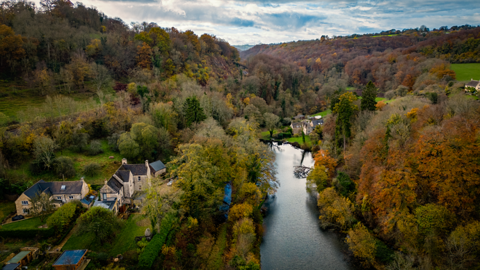
I have just added this to the map of places to fly your drone at Drone Scene:
Land owner permission not required.
Parking: 51.724394, -2.124789
TOAL: 51.724707, -2.121579
The site is not the easiest to get to in a car, unless you have a proper 4x4 with good tyres. I came down a very steep and narrow hill from Oakridge Lynch into the valley below. It is a pot-holed, very narrow lane, covered with mud and leaves this time of year. All the while praying for a turning point at the bottom of the hill. Which there is.
Baker’s Mill Upper Lock is designed to take craft up to the standard dimensions of Thames barges. It is therefore a little over 90 feet long and about 13 feet wide. It had a rise of 8 feet. It was also one of the locks shortened in 1840-41 by about 20 feet by throwing an arch across the top end of the lock and re-siting the sill and the gates. This was to reduce water consumption and was possible because by this time shorter ‘long’ boats had replaced Thames barges on this section.
The chamber was mainly stone lined, with much repair in brick, with a substantial stone coping and stone-edged recesses for the gates. There are two sets of recesses at the top end of the lock, one for the original gates and the other the result of the shortening of the lock. Much of the ironwork seems simply to have been reset. There are surviving traces of ironwork associated with the gate hangings, and some fragments of lock gates as well. There were ground paddles in the side walls above the top gates.
The originator declared that this location was not inside a Flight Restriction Zone at the time of being flown on 20/11/2022. It remains the responsibility of any pilot to check for any changes before flying at the same location.


