I have just added this to the map of places to fly your drone at Drone Scene:
Blowingstone Hill is part of the escarpment of the Berkshire Downs, at the crest of which is The Ridgeway National Trail.
The Blowing Stone after which it is named is a perforated sarsen in a garden at the foot of Blowingstone Hill. The stone is capable of producing a booming sound if someone with the required skill blows into one of the holes the right way (as seen on YouTube). According to legend it could be heard atop White Horse Hill, where 19th-century antiquarians thought King Alfred the Great's Saxon troops had camped, and that this was how Alfred summoned them for the Battle of Ashdown against the Danes in 871 CE.
Its had a couple of literary mentions - Tom Brown's School Days refers to it as the "Blawing Stwun" and calls the village Kingstone Lisle. It is also one of the "sacred stones" mentioned in "Duncton Wood", the first book in the fantasy fiction series about a group of moles.
The stone itself cant really be seen from the air – the reason this location is proposed as a good place to fly a drone is the overall landscape.
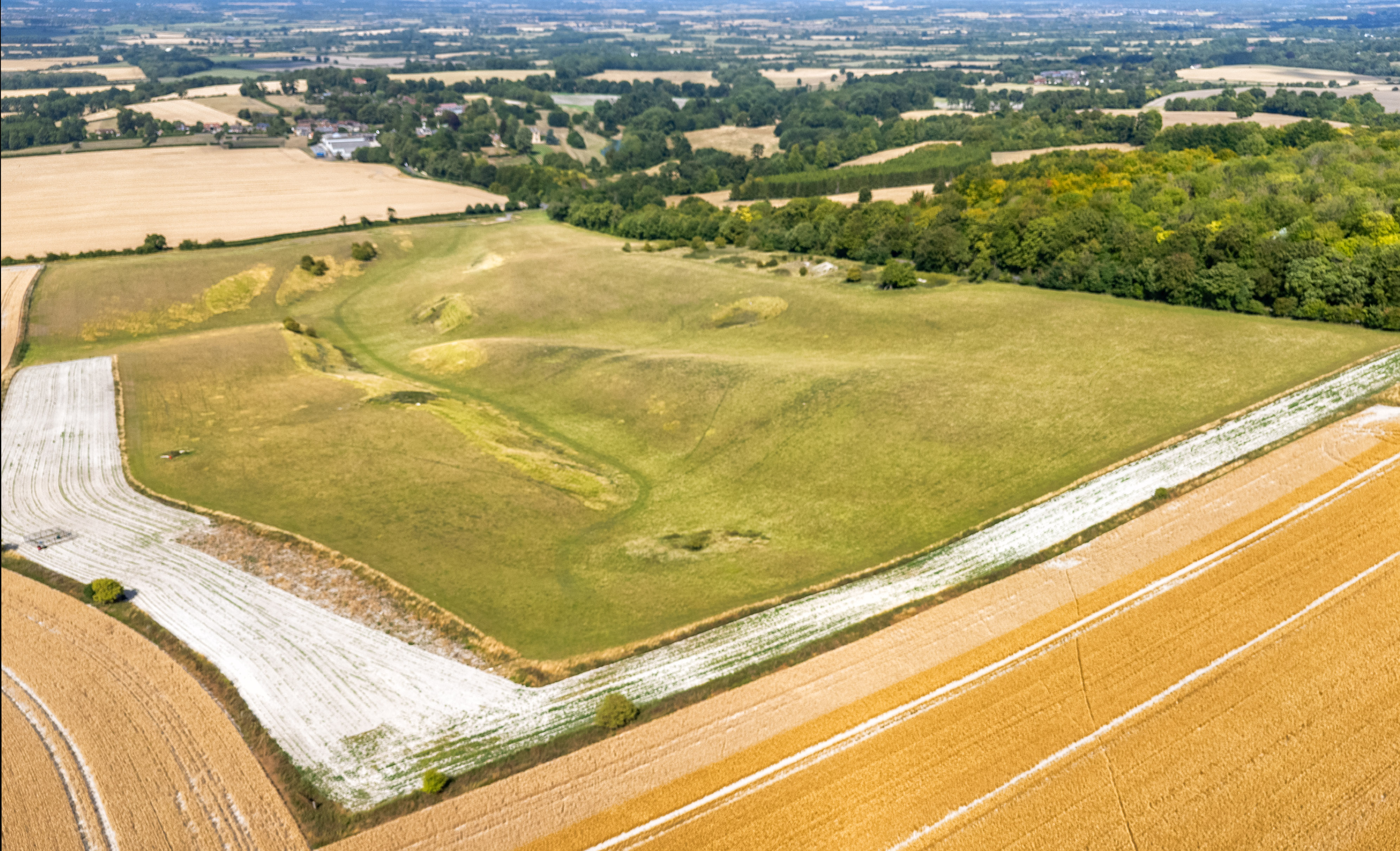
• Taking off from the Ridgeway path at the top of the hill you can see across 6 counties - Oxfordshire, Berkshire, Wiltshire, Buckinghamshire, Gloucestershire, and Hampshire
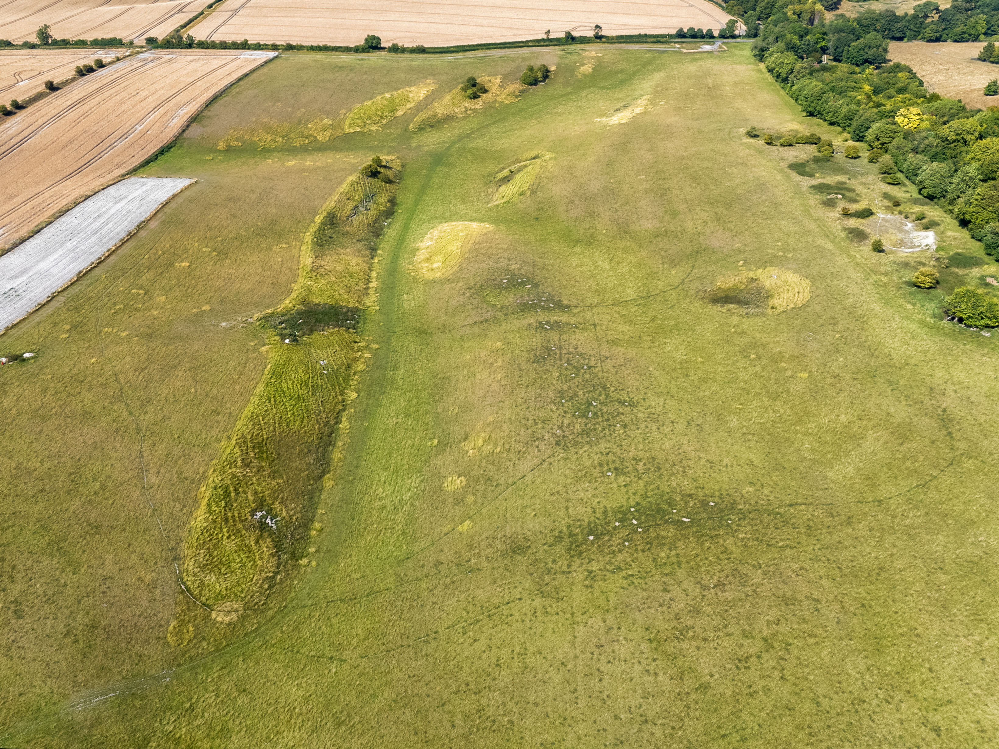
• Immediately in front of the TOAL point are ancient quarry workings (alongside the path at the TOAL point are a number of large sarsen stones lying among the long grass. These are known for their hardness and were used in the construction of Neolithic monuments like Stonehenge and Avebury)
• Behind the TOAL is the summit of Rams Hill on which once sat an iron age fort. First mentioned in an Anglo Saxon charter of 963, it was an univallate (single bank) enclosure with a ditch of 3.5ha but now completely ploughed away but apparently visible on aerial photographs (I took the drone up over the site but with the field recently ploughed and bone dry, I couldn’t get a decent enough view of it to meaningfully photograph).

The originator declared that this location was not inside a Flight Restriction Zone at the time of being flown on 25/07/2025. It remains the responsibility of any pilot to check for any changes before flying at the same location. Landowner permission may be required before taking off.