I have just added this to the map of places to fly your drone at Drone Scene:
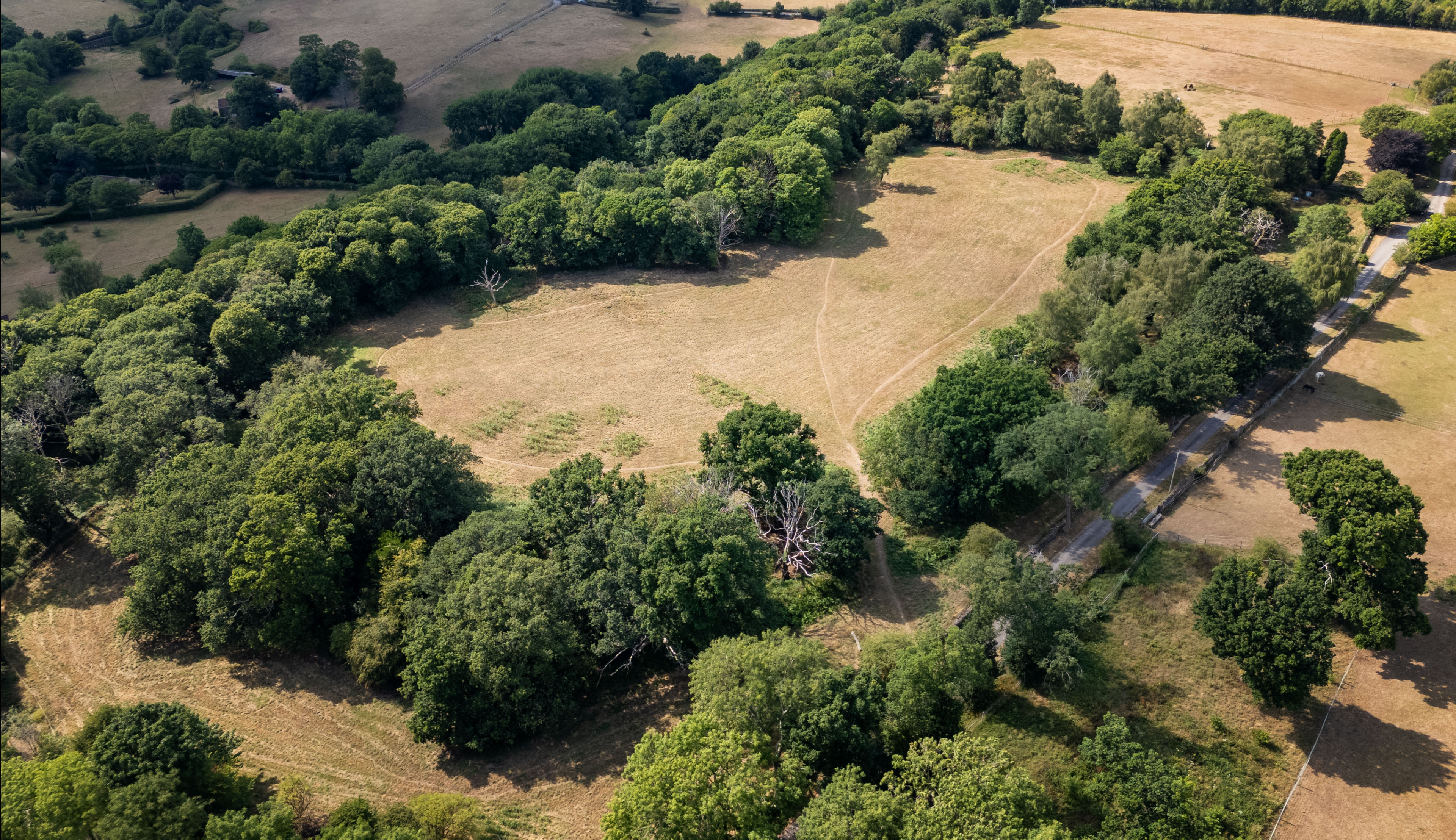
Bury Hill is an Iron-Age hillfort delineated by bivallate defences (i.e. (2 walls) enclosing an ovoid area with three entrances situated at the western end of a low promontory overlooking the River Frome.
The Iron Age fort was built about 700 BC. The double earth ramparts are well preserved except on the western side. One side of the fort is along a steep hill edge above the River Frome, the other 3 sides are flat. The flat sides have been destroyed by quarrying. There is a central ditch, with ramparts built on both the inner and outer sides of the ditches.
Occupation of the site began much earlier than the building of the fort in the palaeolithic period (between 3.3m and 11650 years ago) evidenced by a general spread of flint chippings and an edged blade, while a polished stone mace-head attests to activity during the Mesolithic (10000 to 4000 years BC).
The next confirmed occupation being during the Iron-Age when the visible defences were constructed. After a period of inactivity, the site was seemingly reoccupied during the latter part of Roman rule in Britain, as evidenced by a number of pottery finds recovered from within the defended area dating to the 3rd and 4th centuries AD
The originator declared that this location was not inside a Flight Restriction Zone at the time of being flown on 11/07/2025. It remains the responsibility of any pilot to check for any changes before flying at the same location. Landowner permission may be required before taking off.