I have just added this to the map of places to fly your drone at Drone Scene:

Land owner permission not required.
Parking & TOAL: 51.709437, -2.299309
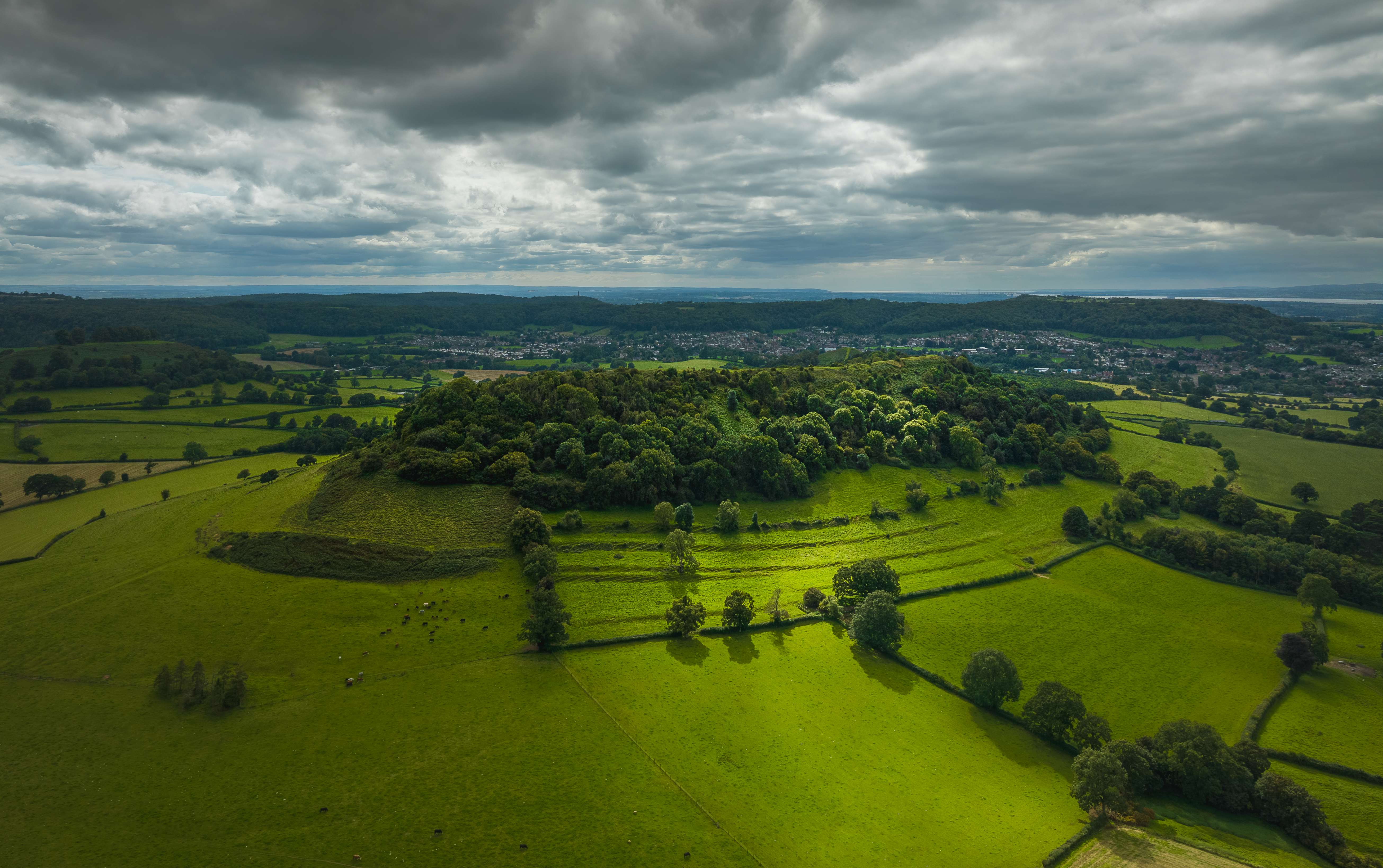
Slight signs of the earthworks of a remaining hillfort can be seen on the top of Cam Long Down. On the north side of the hill are several stretches of a slight bank. At the east end of the hill are the remains of "many ancient pit dwellings" among which have been found large quantities of worked flints.
Locals were told as children that the devil decided to dam up the river Severn and drown the people of Gloucestershire in revenge for them building to many churches above Dursely. He filled his wheelbarrow with a big chunk of the Cotswold's, but while taking a rest he met a shoemaker with lots of shoes around his neck to mend. The devil asked the shoemaker direction to the river. The shoemaker told him it was a long way and that he himself had wore out so many shoes getting there. The devil lost heart and dumped the wheelbarrow full of the stone which became Cam Peak. Cam Long Down is thought to be associated with King Arthur and may be the site of the legendary battle of Camlan.
The originator declared that this location was not inside a Flight Restriction Zone at the time of being flown on 28/08/2023. It remains the responsibility of any pilot to check for any changes before flying at the same location.