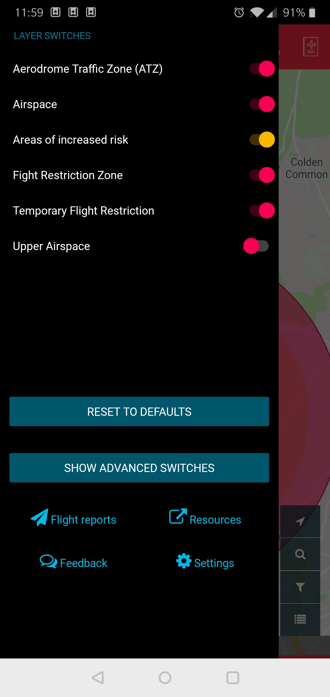
The 2.5 mile exclusion zone around UK airports, does this cover all airports or major ones? Major airports on the DJIGO app have a red no fly zone where the drone won’t take off but smaller ones don’t have this.
I ask as I’m on holiday in Cornwall and where I am staying is just within 2.5 miles of Newquay Airport but when I look on the DJIGO app it’s showing as an orange enhanced warning zone, meaning ‘technically’ I could put the drone in the air here, albeit I expect with some serious trouble.
I know DJI don’t police UK skies but I would have thought this should be a red no fly zone?
I wasn’t planning on flying near here anyway I was just curious because one place I was looking at a flight was Bedruthan Steps which I think from looking is just outside the 2.5 mile zone but within a yellow warning zone.
I don’t want to chance anything so thought I’d get some advice here.
I have NATS and on that where I’m staying is literally 50 feet within the red zone and Bedruthan Steps seems to be well clear. So am I safe to trust NATS over DJIGO for information?
… which has a radius of either two or two and a half nautical miles and then five kilometres by one kilometre zones starting from the point known as the ‘threshold’ at the end of each of the airfield’s runways… (Source: https://dronesafe.uk/restrictions/)
You can always ring Newquay International airport ATC and ask them
Smaller airports which have low air traffic might give you clearance to fly but I doubt you will be given approval if you have no PFCO having said that there is no harm in ringing.
Sometimes I wish we had the system the guys across the pond have where they submit a request online to the applicable ATC
Really helpful that, when you are stuck with no internet connection, miles from any WiFi.
And you need to submit a request to fly NOW in a particular area where there is an Airfield.
It’s fine if you know your intentions days before you fly.
Not really practicable in my eyes that one!.
I am talking about with the pre planning. If you are a PfCO holder you are supposed to plan with site survey before hand. But yes if you are in the a particular part where there is no internet no phone coverage it’s not much good.