Clee Hill Ruins - Added to FPV in West Midlands

I have just added this to the map of places to fly your drone at Drone Scene:

Land owner permission not required.

Ruins to explore, hills to climb and / or fly.

A popular place but easy going.

A good view of the area from the top.

Check out the weather radar and the nats radar.

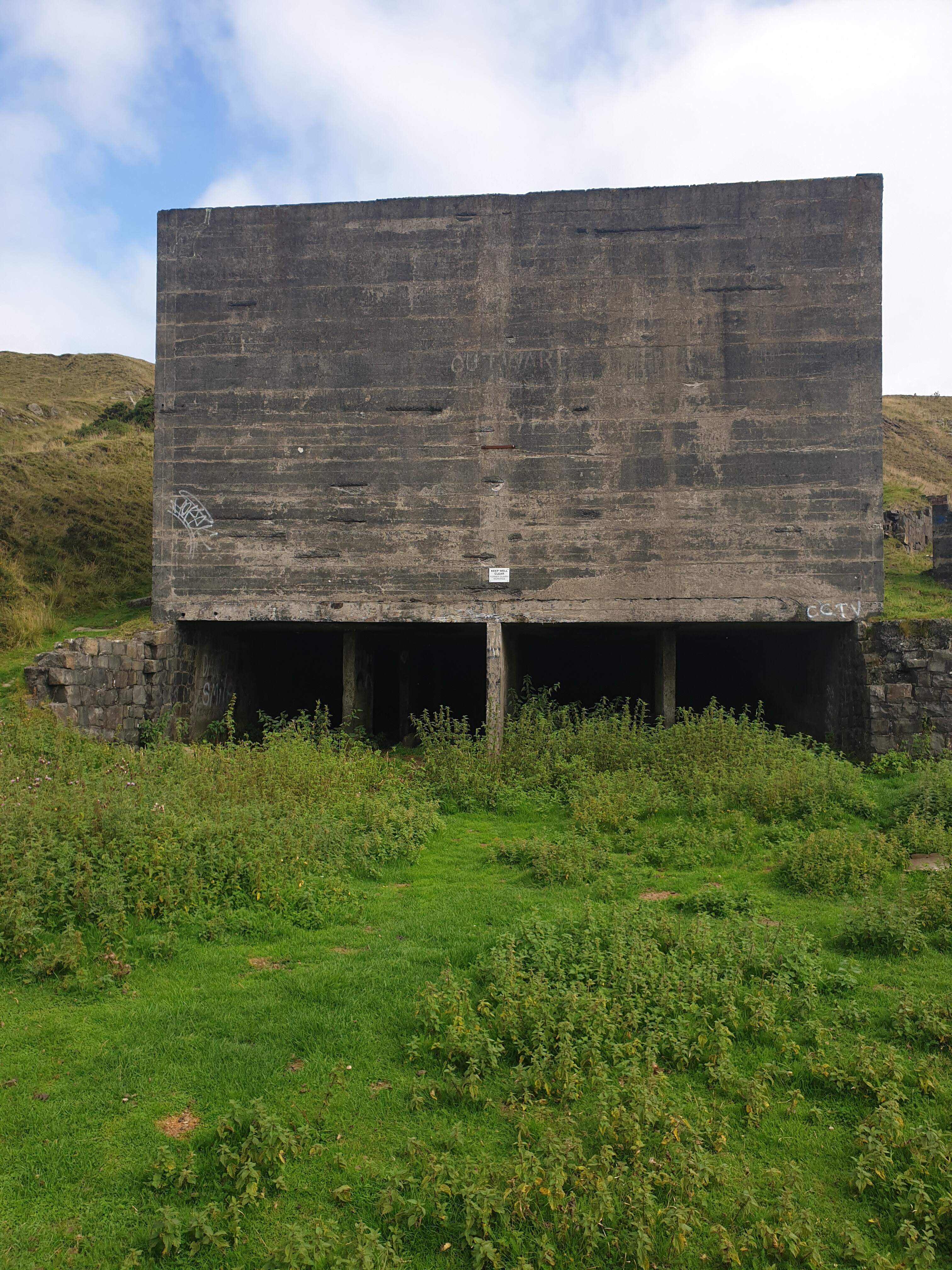
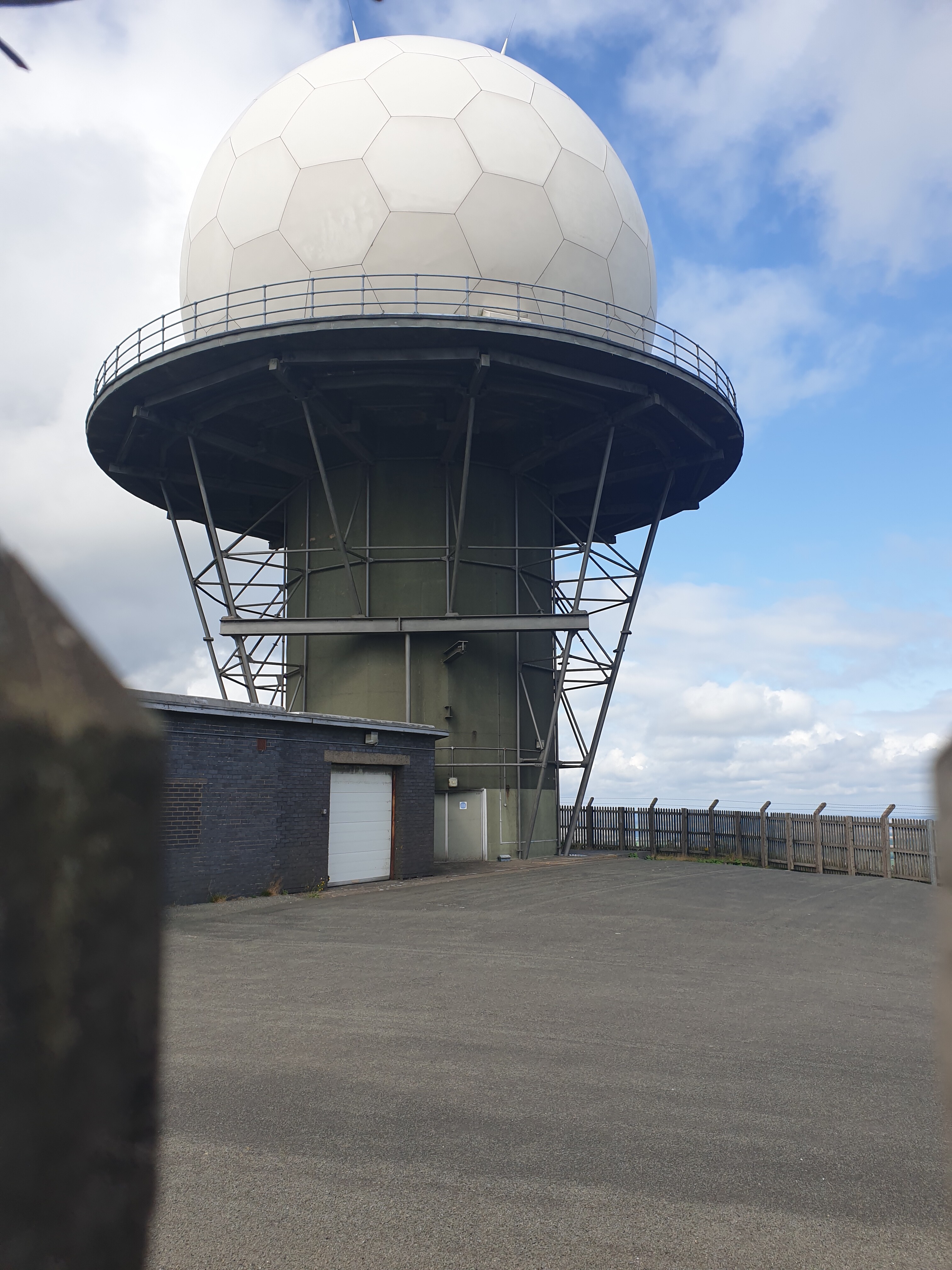
Watch out if you use crossfire near the installations.

The originator declared that this location was not inside a Flight Restriction Zone at the time of being flown on 22/08/2021. It remains the responsibility of any pilot to check for any changes before flying at the same location.


2 Likes

Why? what happens? what frequency do NATS run on :thinking:
maybe a question for @Nidge

Not sure of the frequencies involved, but I had warnings when the drone was at ‘x’. When
i was in between the tower and the drone. I repeated it a few times :man_shrugging:

image

1 Like

The air to ground comms frequencies are in the civil aviation band, 110MHz to 136MHz. If you’re using the legal Crossfire (868MHz to 869MHZ), you shouldn’t be of any concern.

3 Likes

Karl will have experienced issues from the Radar as that operates on 5608MHz with an input of 250 Watts into the antenna.

2 Likes

I knew you’d know @Nidge :clap:
Thank you :grinning:

I’ve flown here too @notveryprettyboy :grin:

2 Likes

I’ve not flown it, but been up there a couple of times on the bike when riding down to Wales and Cornwall. Need to head over there this summer. :slight_smile:

I’ve flown here too @notveryprettyboy :grin:

I’ve flown here too @notveryprettyboy :grin:

I’ve just added a new Take Off And Landing marker to this location @notveryprettyboy :slightly_smiling_face:

1 Like