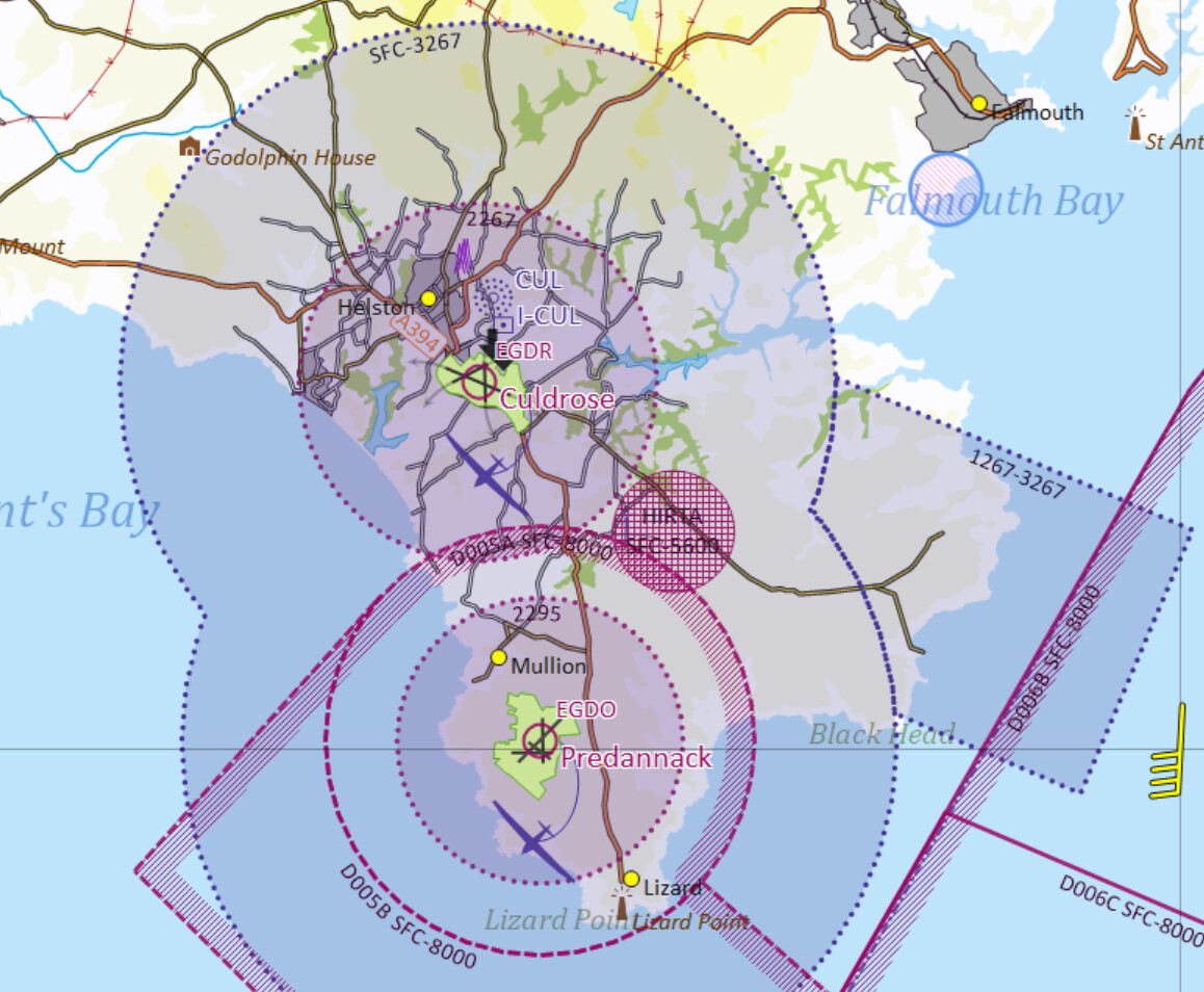
I’m heading for Cornwall next month and will be staying near the Lizard. The Grey Arrows where-to-fly map suggests we can’t fly close to Culdrose & Predannack airfields - fair enough. But a proper aviation map shows a wider Military Aerodrome Traffic Zone (MATZ) restriction per the attached map. (The central bits are the standard Aerodrome Traffic Zones (ATZs), the bigger circle and ‘stub’ are the MATZ.) That would rule out most of the Lizard peninsula.
Thoughts? Worth a call to RNAS Culdrose to clarify? The MATZ is not a CAA designation but a military one - different rules apply - indeed, strictly a MATZ is not regulated (unlike the ATZ).
Thanks for that - appreciated - and for your patience with a new-comer to all this . I can now see that the Drone Scene restricted area reflects the NATS Unmanned Aircraft Systems FRZ - and is different to zones identified for manned aircraft, even though the base MATZ in question is larger and starts at the surface. Who’d a thought it … Very many thanks again …