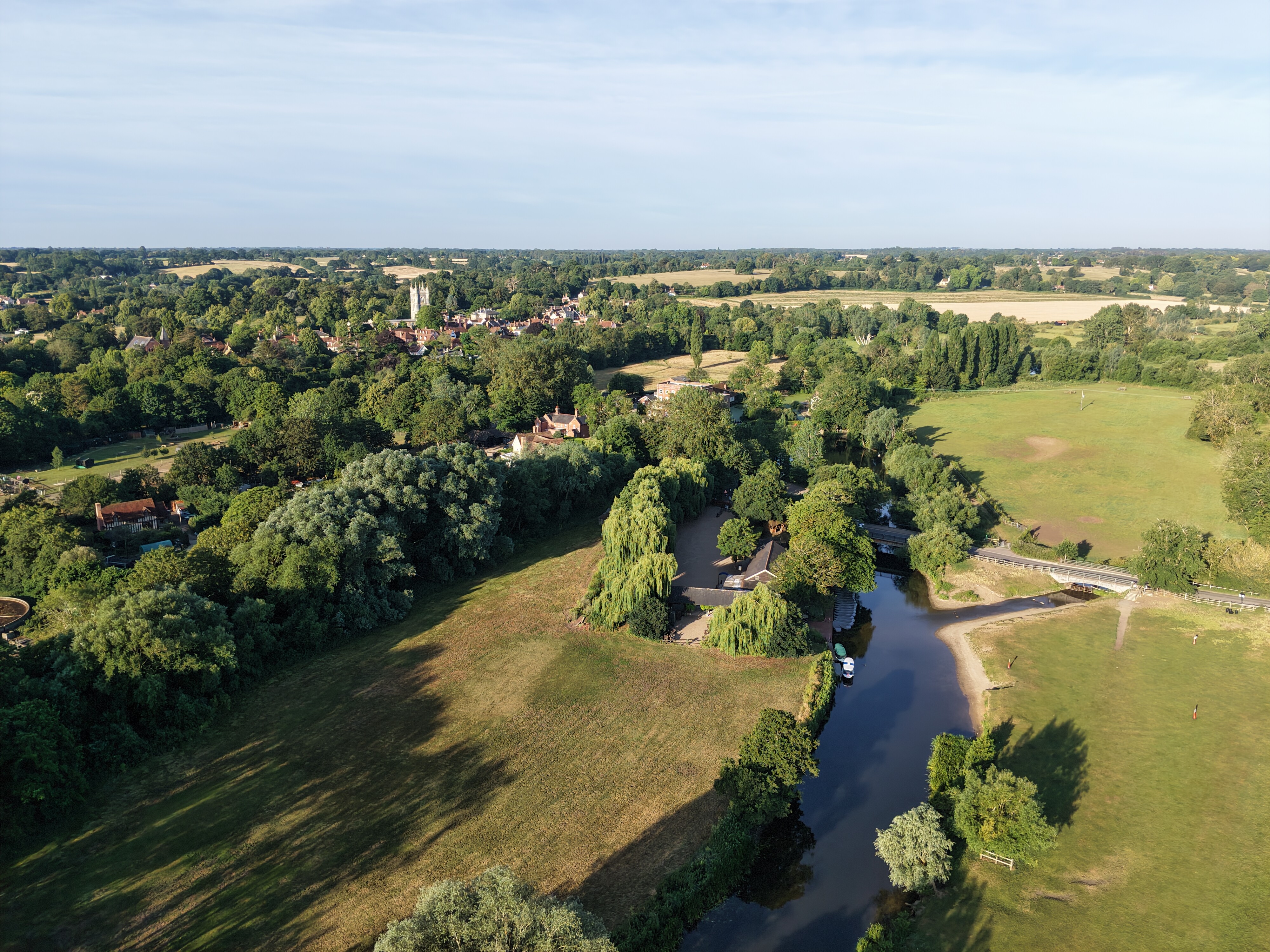
I have just added this to the map of places to fly your drone at Drone Scene:

Land owner permission requirements unknown.
Landowner permission not known. A public footpath runs the length of the river but TOAL was approx 300m further away in a field to avoid the people. Assume it's private as it's clear it was used for grazing cows!
The originator declared that this location was not inside a Flight Restriction Zone at the time of being flown on 12/09/2021. It remains the responsibility of any pilot to check for any changes before flying at the same location.