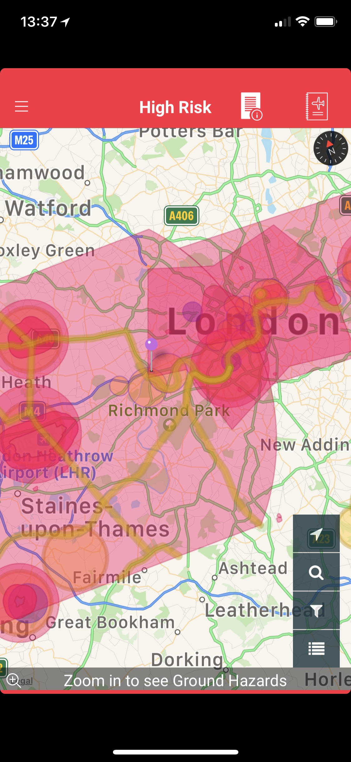
Not sure whether to post this here in Q&A or in ‘Where to fly in the UK.’ My question is: Does anyone else find the Drone Assist map confusing? I live in west London, not near Heathrow or any other airport. According to the DA map, the area around me has three different shades of pink. I’ve called them pale, mid and dark on the attached example.
Dark pink is central London, Heathrow Airport and a few other places. I can’t fly there, I understand that. (I also know the rules about crowds, people, 400ft max etc).
What I find confusing is the other shades of pink circles. When I tap on the pale pink area I get ‘high risk’ at the top of the screen. I live right on the edge of the mid pink area (you can see the pin). It says ‘London CTR’…what does that mean? is ‘High Risk’ the same as NFZ?
London CTR is class D (controlled) airspace from the surface to 2500ft
My understanding is that you can not fly a drone over 7KG in this area without ATC permission
As Brian said, zooming in is key. The warnings change, and don’t forget to look at the bottom of the screen when you tap a specific location, as the warnings are listed. Only central London is fully restricted and actually most places are, from an airspace perspective, actually okay to fly. But Drone Assist doesn’t’ consider buidlings, people and by-laws in parks written by officious little people stuck behind desks…