I have a mini 3 pro, assume I set the max height to 118 metres (which I’ve have done) and I’m flying along the top of a cliff edge!
If I fly over the cliff edge, which happens to be in access of 120 mts in height would the drone drop to 118 mts? and if it does how can I legally retrieve the drone?
A question that this has just trundled up in my mind. So you are on a cliff and the cliff is let’s say 110 meters and when you fly off the cliff you are above water. Is the ground actually the sea bed and how would you know the depth of the water.
I’m thinking the mean sea level would be the datum point for height from a cliff
ELEVATION is the height of a point above (or below) sea level . SEA LEVEL or, as it is more usually called, mean sea level, is the average height of the surface of the sea. As the tide rises and falls, hourly observations of the height of the sea on an open coast are conducted over a 19-year period.
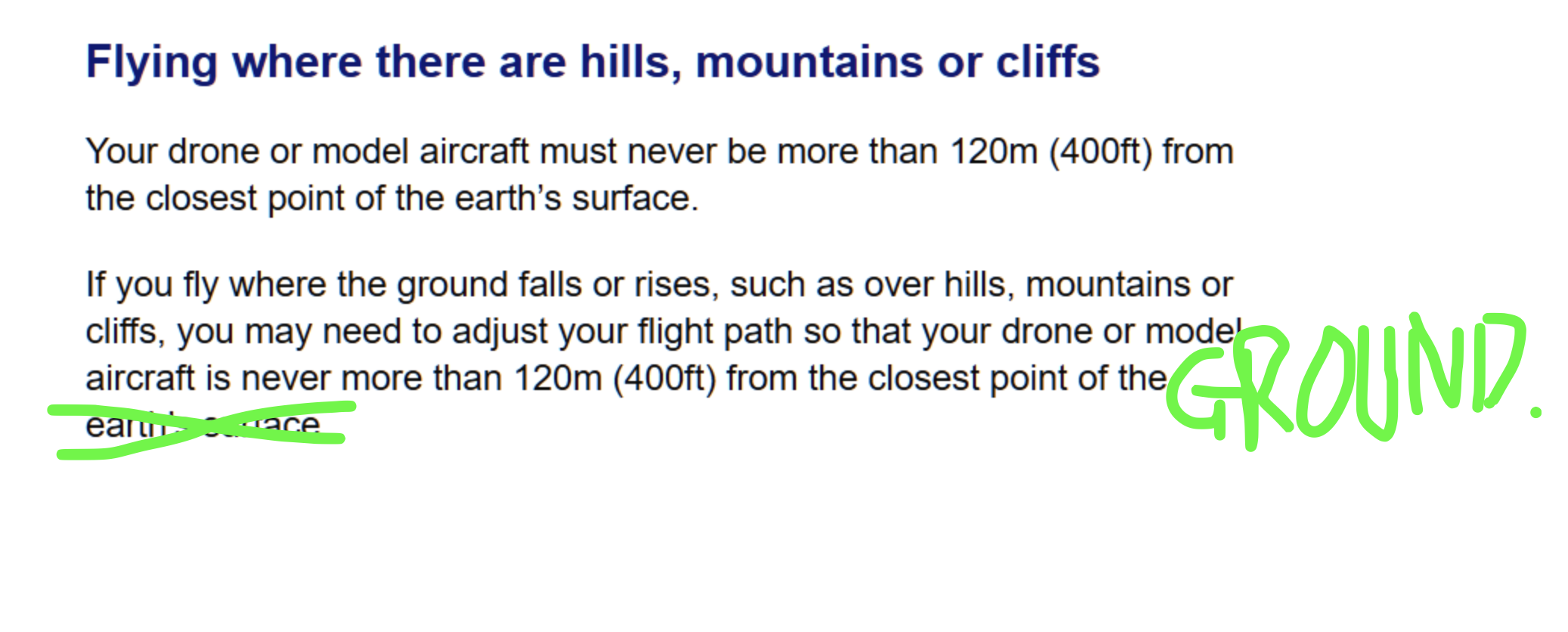
Yup, even the CAA seem confused on how to interpret “the closest point of the earth’s surface”. The CAA’s Drone and Model Aircraft Code and the CAA’s CAP 722 edition 9.1 document (Unmanned Aircraft System Operations in UK Airspace – Policy and Guidance) have different interpretations.
The Drone code has a diagram showing 120m/499ft being the vertical distance to the ground beneath the drone [Section 3 Page 11], but the CAP 722 document shows (Fig 2 of the document) says that the distance is NOT the vertical distance to the ground, but to the nearest poiunt on the earth. Confusing or what?
I’ve recently asked the CAA to clarify this point.
I also note that the VLOS ‘circle’ that surrounds the RP in the image is well over 120m away …. That would be interesting from an orientation point of view
are we now worried about UAV collisions with aquatic life and submersibles…
please don’t tell me one of our great big trident nuclear powered and nuclear deterrent submarines are at risk from a hobby drone…
I still remain somewhat mystified that aircraft are really at risk from a sub 250g drone flying below FL5 (500ft) normal … as they should not be operating below that FL without permission except where taking off or landing
appreciate that in the open A3 category they may be up to 25kg MTOW.
(f) Except when necessary for take-off or landing, or except by permission from the competent authority, a VFR flight shall not be flown:
(1) over the congested areas of cities, towns or settlements or over an open-air assembly of persons at a height less than 300 m (1000 ft) above the highest obstacle within a radius of 600 m from the aircraft;
(2) elsewhere than as specified in (1), at a height less than 150 m (500 ft) above the ground or water, or 150 m (500 ft) above the highest obstacle within a radius of 150 m (500 ft) from the aircraft.
UAVs are supposed to operate within this safety bubble… yes I am aware that UAVs are only supposed to operate within the (f) (2) bubble and NOT get the higher clearance of f(1)… but it is worth being aware of.
Which means you need to constantly be doing trigonometry to work out your legal height. Where the CAA interpretation is simpler to maintain and calculate.