Hi I have recently purchased a DJI mini pro 4 and downloaded the Drone Scene map. Could anyone let me know what the colour codes are I realise the red code is a no fly zone i.e airports, government buildings, prisons…..
1 Like
If you go to the layers icon, top right ..
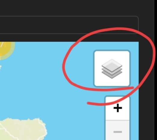
.. and display all the later names ..
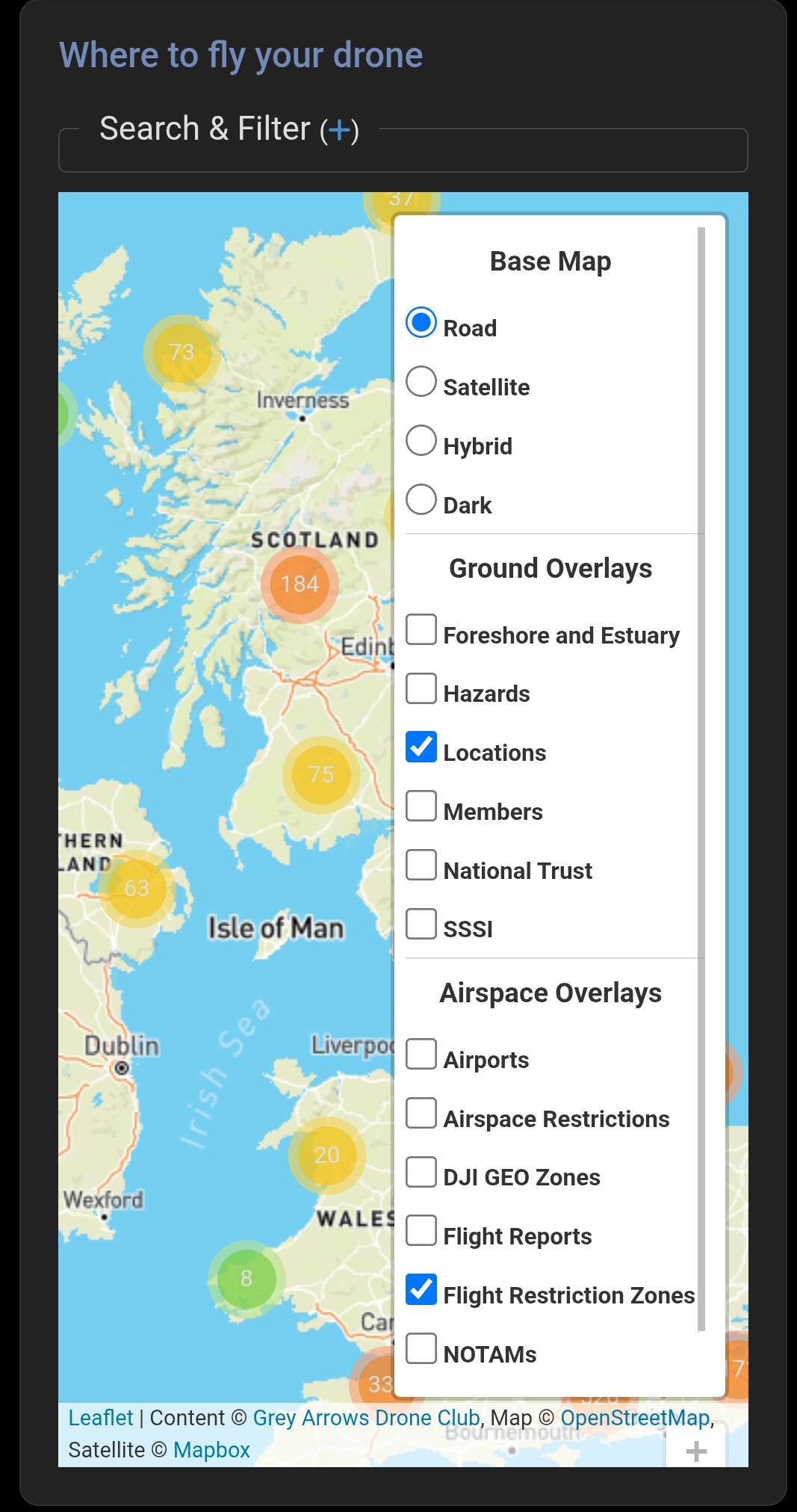
.. you can switch each on/off to see which colour they relate to.
2 Likes
In the top right hand corner you’ll find the layers button, just toggle each layer on/off and see what effect it has. Best way to learn what’s/what.
And you can go HERE to get all the info you need.
2 Likes
Thanks for the help I’ve got a better idea no ![]()
That’s ok Daz if your a beta tester, if not you have to goto Drone Scene for the poor people like me ![]()
1 Like
I’ve updated Daz’s link: https://dronescene.co.uk/about#MapLayersGroundOverlays
2 Likes
Thank you young Man ![]()
2 Likes