I have just added this to the map of places to fly your drone at Drone Scene:
Land owner permission requirements unknown.
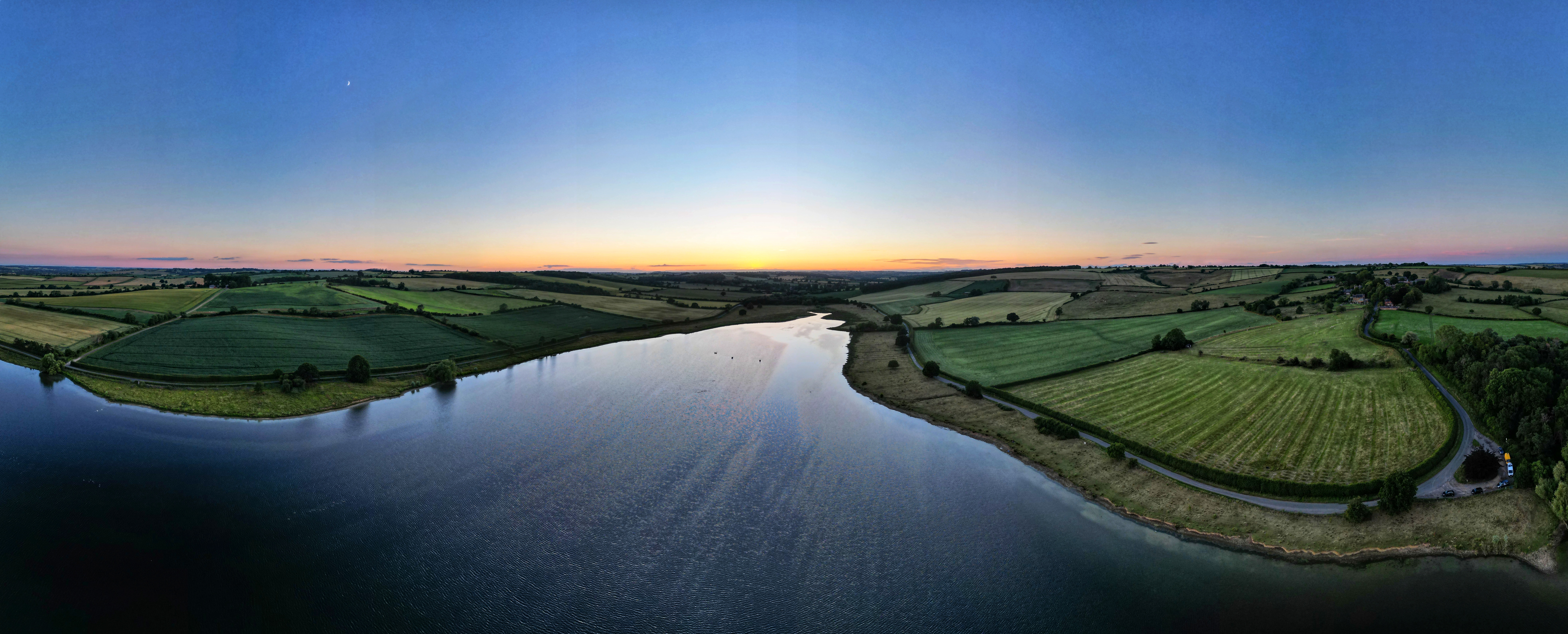
Park at either the point on the map (labelled Smokers Corner on Google maps) or there are places to park along the road that runs along the reservoir. Easiest place to take off is probably the road as it was quiet when I was there or roof of your car. There's also parking on the A6003 if you want to start above the reservoir.
The originator declared that this location was not inside a Flight Restriction Zone at the time of being flown on 04/07/2022. It remains the responsibility of any pilot to check for any changes before flying at the same location.