Just spotted this on our very own Drone Scene. I am not at all sure what this is, but it’s a weird shape. The description says " Temporary Flight Restriction
This is an official ‘No Fly Zone’ (a Temporary Flight Restriction) and it applies according to the following criteria, in the region indicated by the boundary shown."
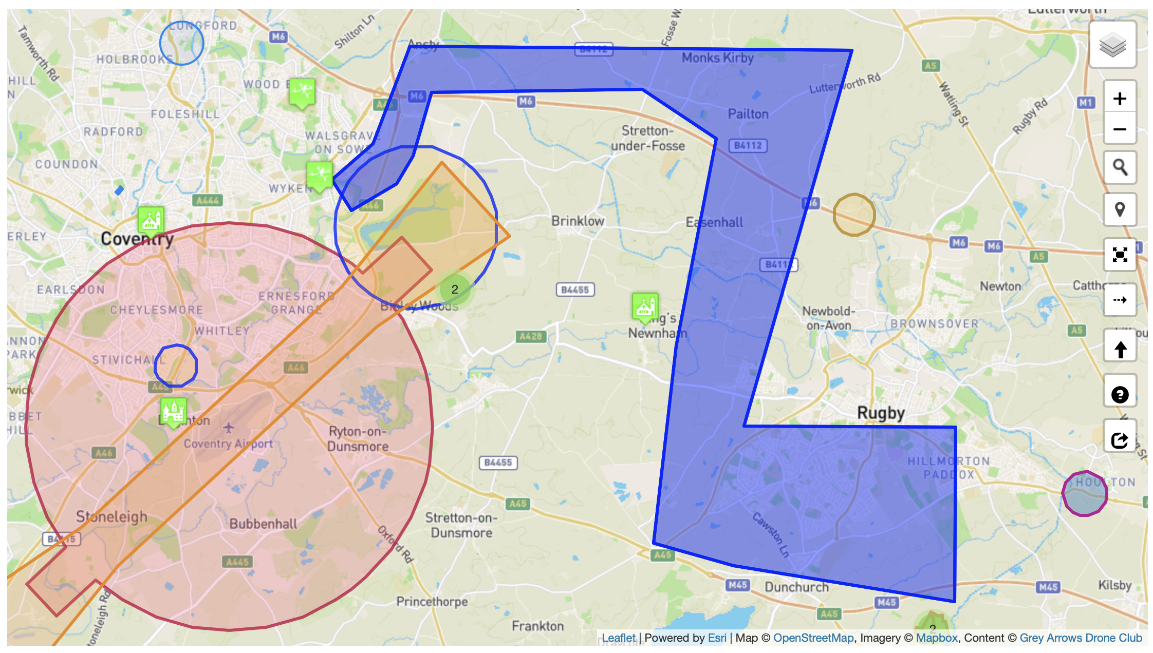
EDIT: I have just noticed, that at each end of the ‘Z’ shape is a hospital. The two hospitals are part of the same trust. The NOTAM mentions “BEYOND VISUAL LINE OF SIGHT UAS OPS CONTAINED WHOLLY WI THE TDA.”