As above, any ideas?
Cheers
As above, any ideas?
Cheers
I’d say the controller .
The drone has enough processing to do .
In the drone. That’s where you delete the data from if you mod the drone firmware to … delete NFZs.
There is a “Precise Fly Safe” database in GO4:

looks a bit empty to me
It would usually be populated with higher version numbers than mine 
Higher than …. ZERO … because they don’t do negative version numbers. 
.700 is your friend 
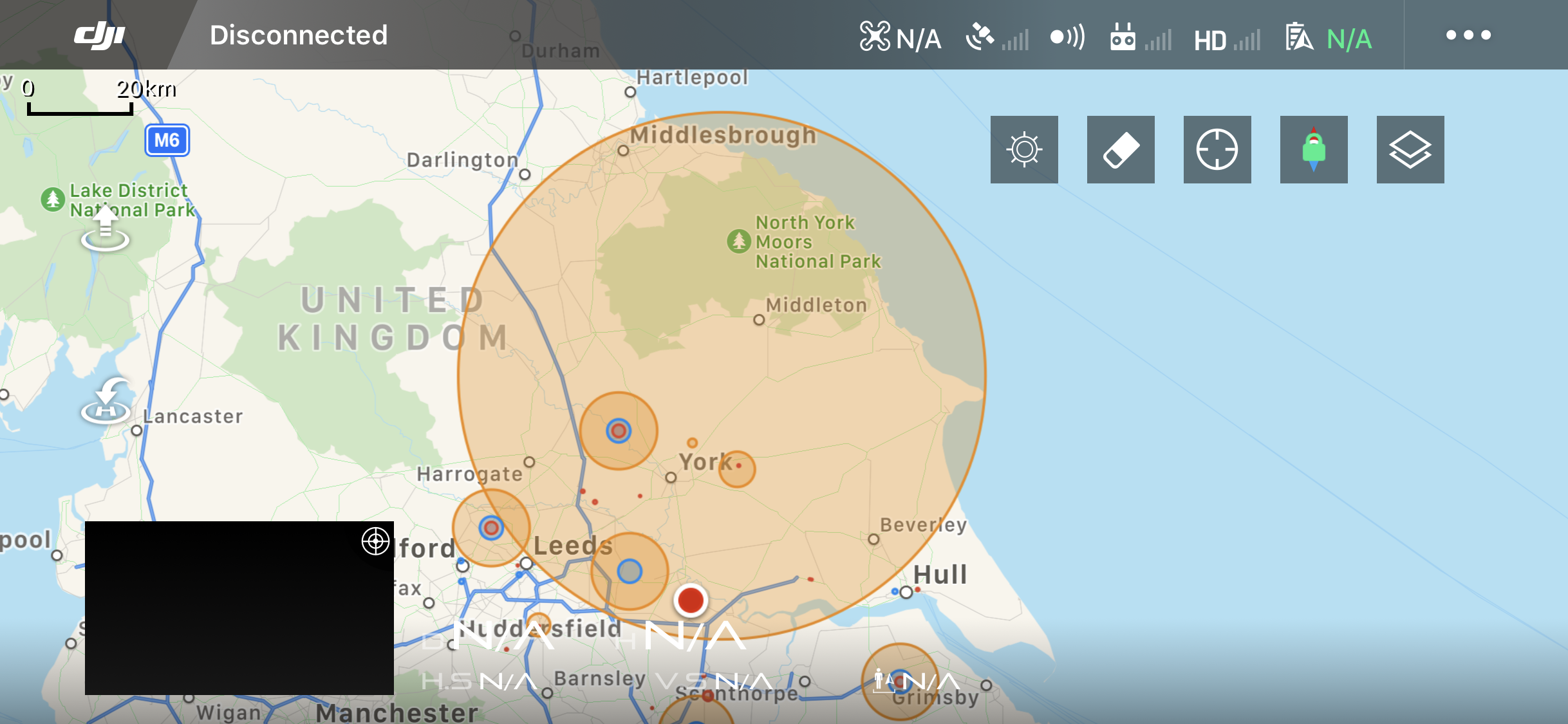
Many thanks guys, I see also DJI have now updated their GEO Zone Map for the UK, Now seems a lot more unrestricted as long as you have clearance from the local ATC
Cannot reiterate enough …y
Get that Chris, however I bought refresh with the M2, so don’t want to root it until that expires.
I am lucky here as the Local SATCO gets drones and the hobby and he would rather know were we are, so a call to ATC normally allows flying close to the base, depending on what they have flying.
The RAF police are another matter though…