I have just added this to the map of places to fly your drone at Drone Scene:
Inaugurated in 1965 by Cardiff Corporation Waterworks, Llandegfedd Reservoir was constructed to meet the burgeoning industrial and domestic water demands of Southeast Wales. Spanning 434 acres on the border of Monmouthshire and Torfaen, it was created by damming the Sor Brook, though its primary water source is pumped directly from the River Usk.
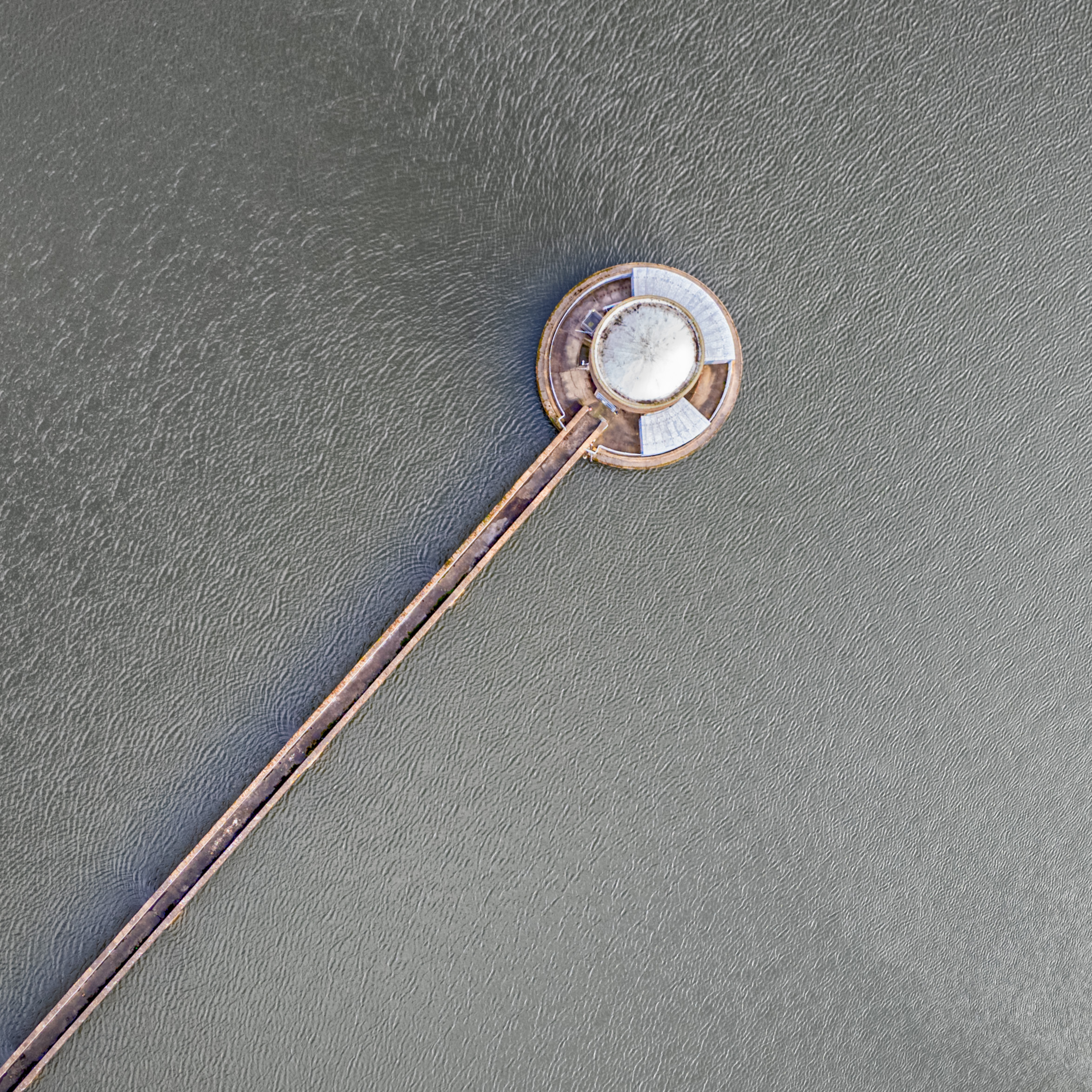
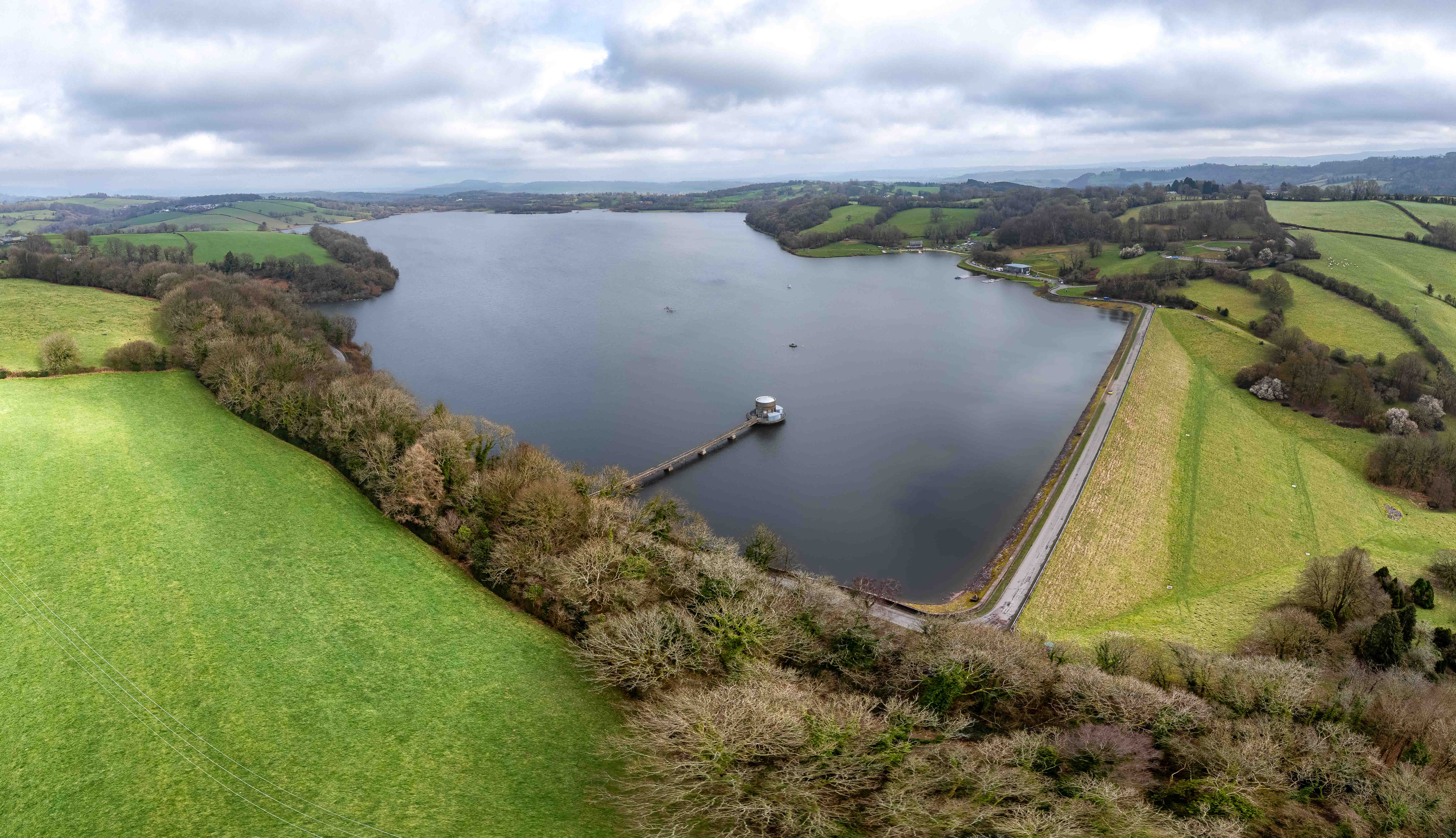
The two images i've posted capture the reservoir’s dual identity as a feat of civil engineering and a premier site for recreation -
• The Panorama: This wide shot highlights the massive earth-fill embankment dam and the surrounding 400 acres of SSSI-designated land (Site of Special Scientific Interest), emphasising its role as a vital habitat for overwintering wildfowl.
• The Intake Tower: The top-down perspective showcases the iconic concrete valve tower and access bridge. This structure is the "heart" of the operations, regulating water flow before it is pumped to the Sluvad Treatment Works.
Today, managed by Welsh Water, the site has evolved from a strict utility into a hub for sailing, fishing, and conservation, balancing the region's thirst with a commitment to ecological preservation.
The originator declared that this location was not inside a Flight Restriction Zone at the time of being flown on 25/02/2026. It remains the responsibility of any pilot to check for any changes before flying at the same location. Landowner permission may be required before taking off.