I have just added this to the map of places to fly your drone at Drone Scene:
Land owner permission requirements unknown.
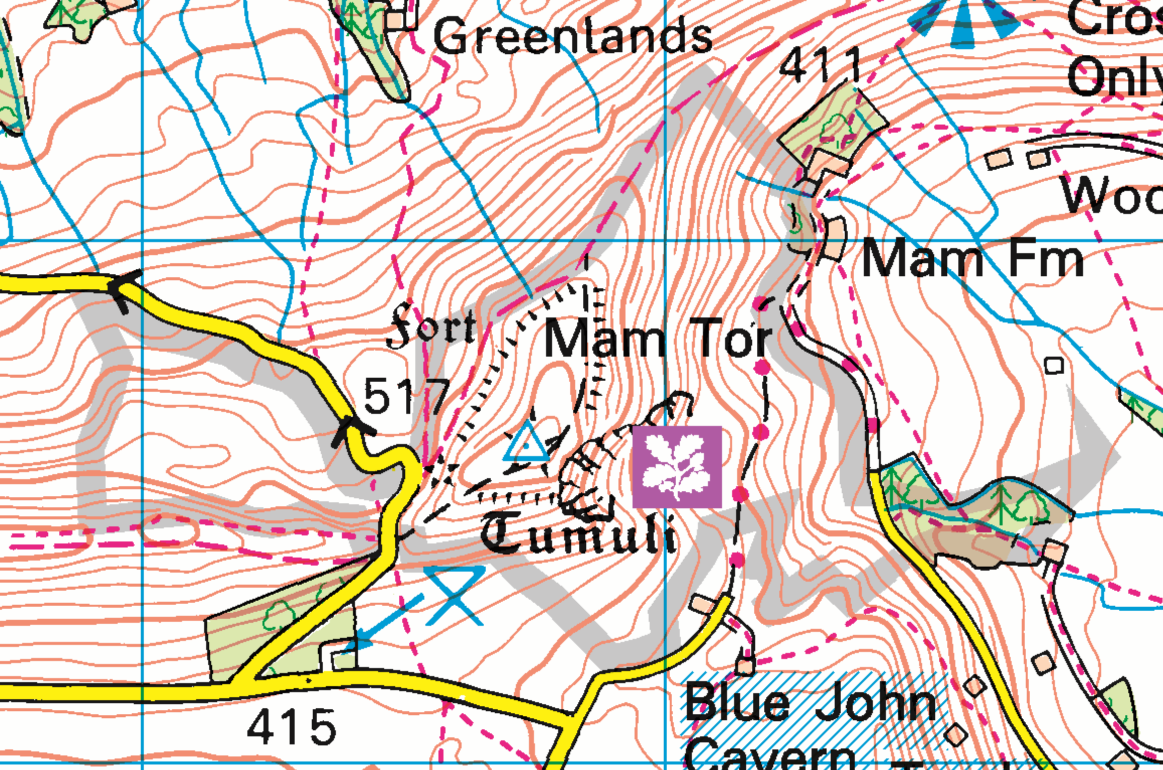
TOAL from the side of the turn around past Blue John Mine - plenty of parking available if you are there early or the weather isnt too good, but gets busy. Great panoramic view of the downfall and the landslips and Castleton Valley.
The originator declared that this location was not inside a Flight Restriction Zone at the time of being flown on 19/11/2022. It remains the responsibility of any pilot to check for any changes before flying at the same location.
Probably because I didn’t add it. The “I’ve flown here, too” feature isn’t a complaint button, it’s just to help give an indication of places that are popular on Drone Scene.
The annoying thing is that I used to live round that area, didn’t have a drone then, and because it was familiar and local, I didn’t shoot it much. Lots of regret now. Fab video, and I will have to make the effort to get over there with the mini 3…… thank you for the reminder of what I am missing in the Peaks.
Isnt it always the way? I have been all over Scotland in the last 7 years, without a Drone, now I need to go back and do it all again, just to capture it with the drone, such a shame Thanks for the comments Perhaps I will see ou up there some time…
The summit is NT land so watch out for the pesky NT and Peak Park rangers. If you walk along the ridge towards Hollins Cross then the NT land stops so you can fly back over the summit. Inside the grey line is the NT bit.
Yeah, saw that, hence I was flying from just off th road in yellow, which is not NT, TOAL away and I could overfly, but with it being windy I didnt want to get too high with the MINI3 Pro, hence not overflying the summit…
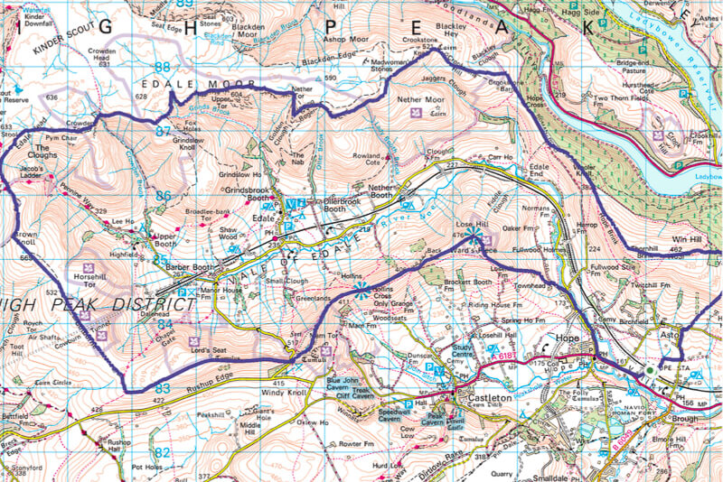
I know this is an old thread but its inspired me to walk the Edale skyline this coming Tuesday, we are expecting light which im hoping will add to the beauty of it.
I will be taking an Air 2 so should get some great footage, and lovely pic’s