I have just added this to the map of places to fly your drone at Drone Scene:
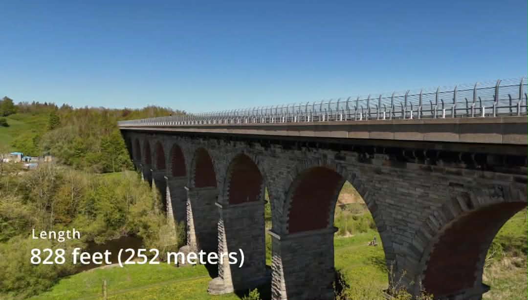
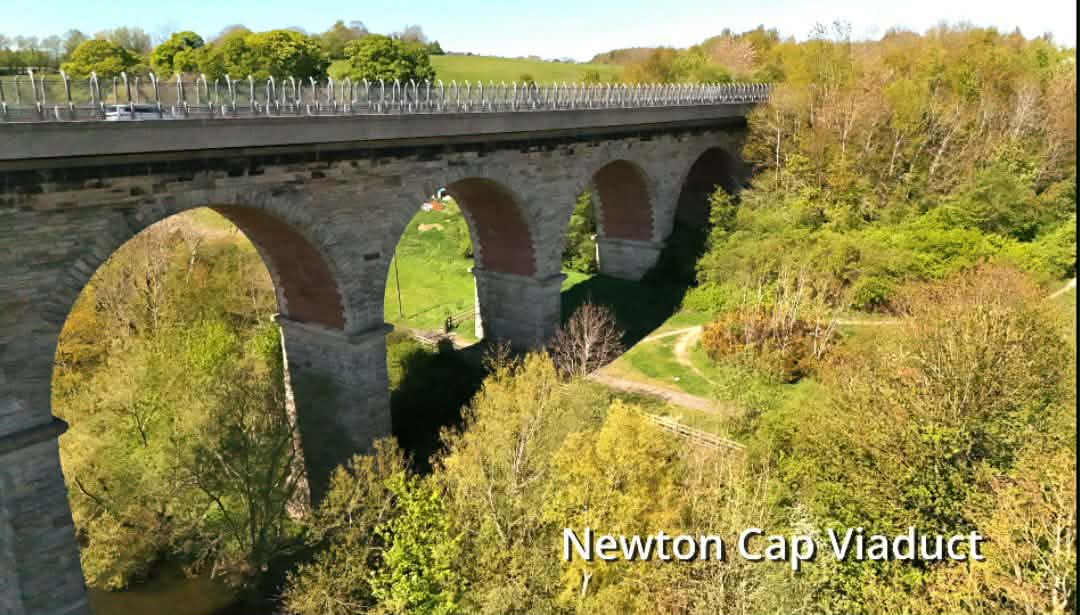
Newton Cap Viaduct was built in 1857 to carry the Bishop Auckland to Durham City railway across the River Wear and Newton Cap Bank, which leads down to the river.
The viaduct is constructed in stone and brick, it is 828ft long with 11 arches, with an elevation of 100ft above the river. The railway line was formally opened on the 1st April 1857 by a special train drawn by one of George Stephenson’s patent engines (No.55).
The viaduct fell into disuse when the railway closed in 1968. In 1972 Durham County Council converted the viaduct for use as a footpath. However, to relieve road traffic congestion on the single lane medieval Newton Cap Bridge at Bishop Auckland, work began to strengthen the viaduct and convert it for road use; this was completed in July 1995 and the busy A689 road was rerouted over the viaduct.
The viaduct is Grade 2 Listed.

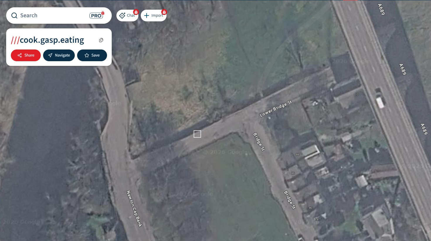
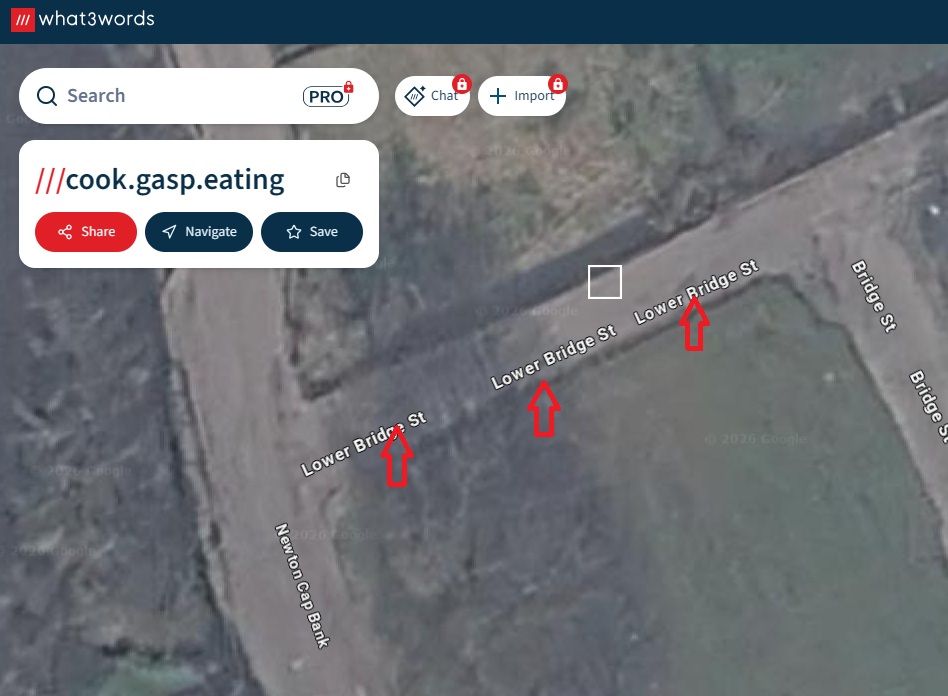
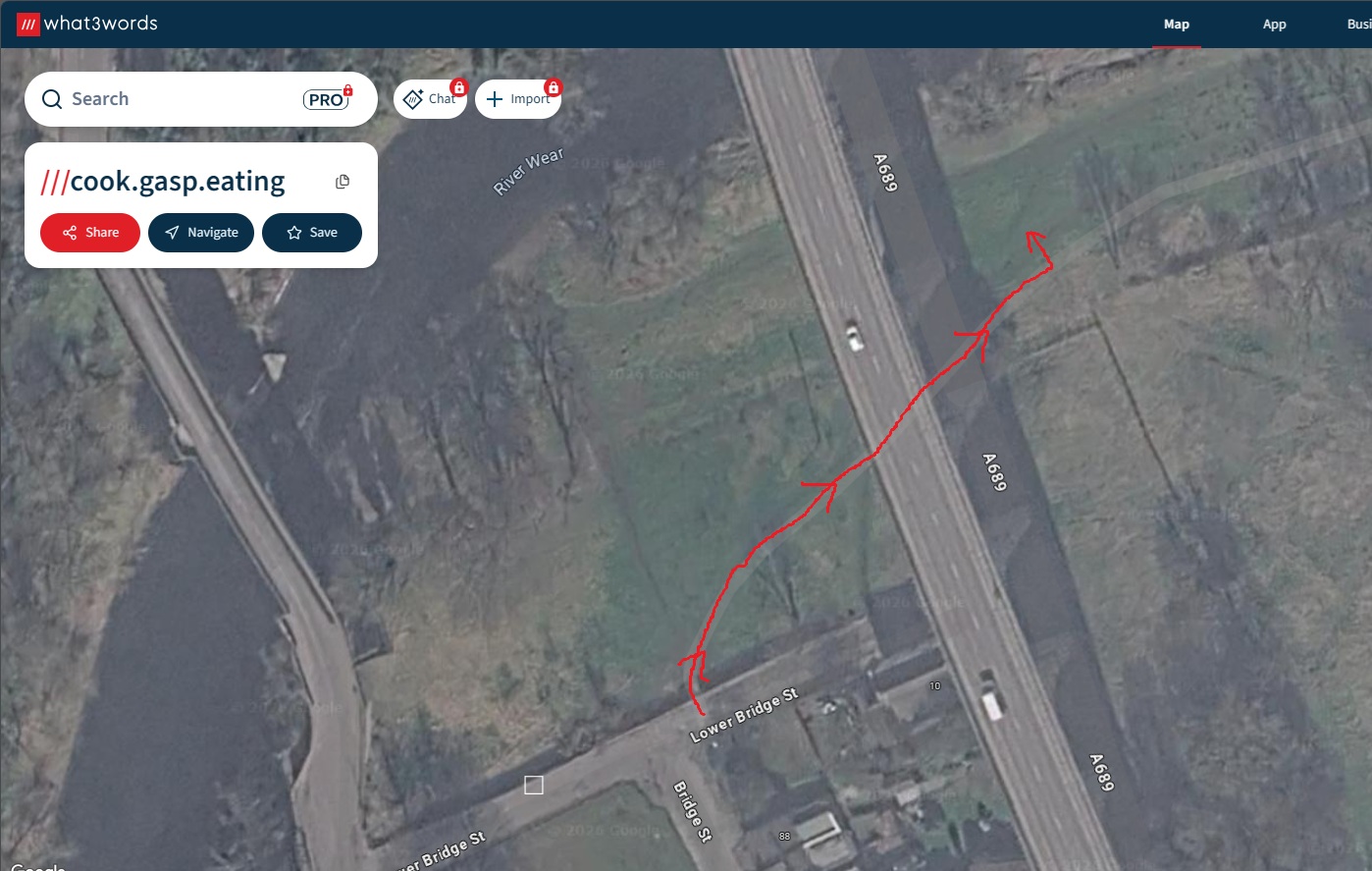
The originator declared that this location was not inside a Flight Restriction Zone at the time of being flown on 09/05/2026. It remains the responsibility of any pilot to check for any changes before flying at the same location. Landowner permission may be required before taking off.