I have just added this to the map of places to fly your drone at Drone Scene:
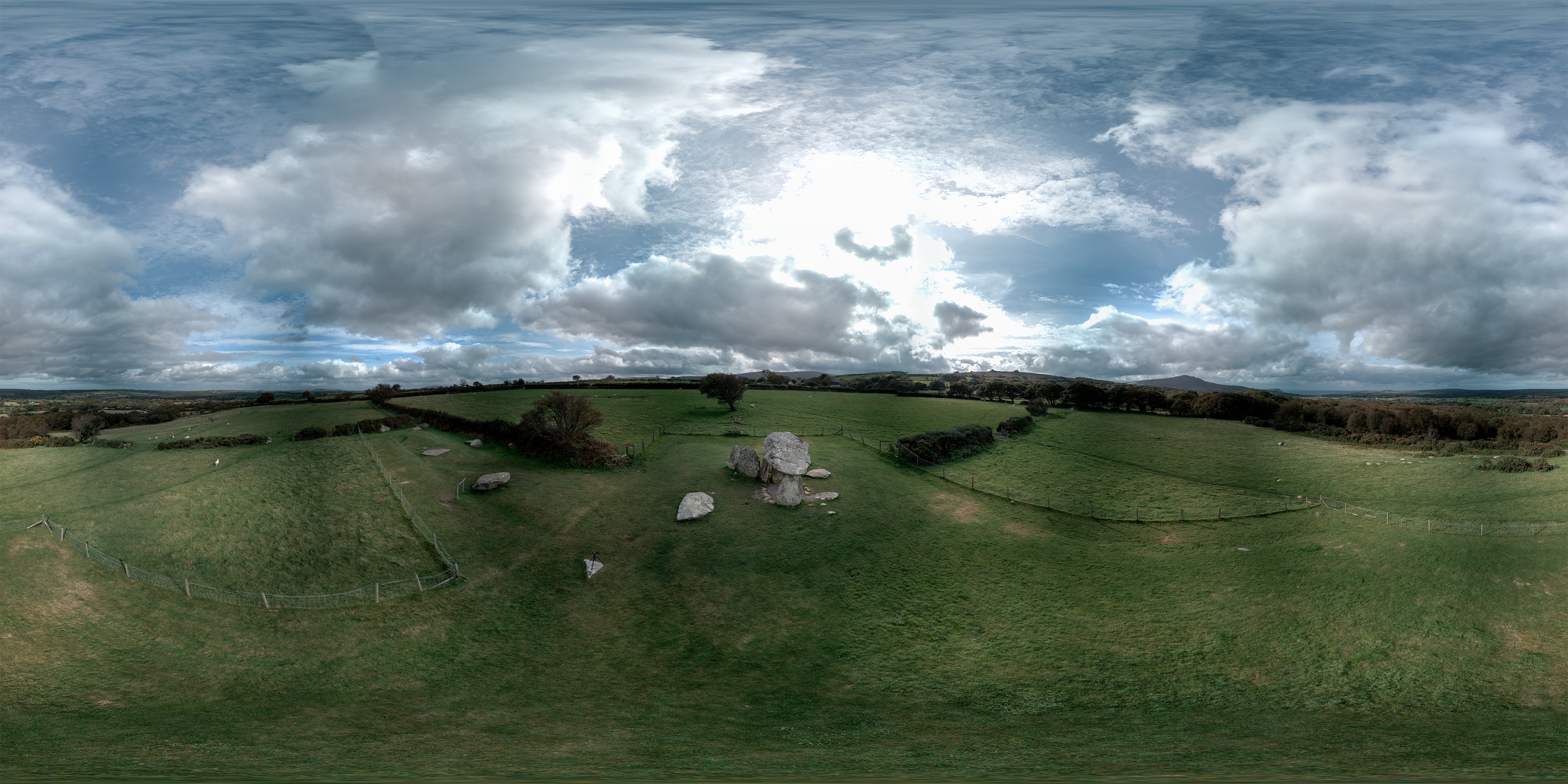
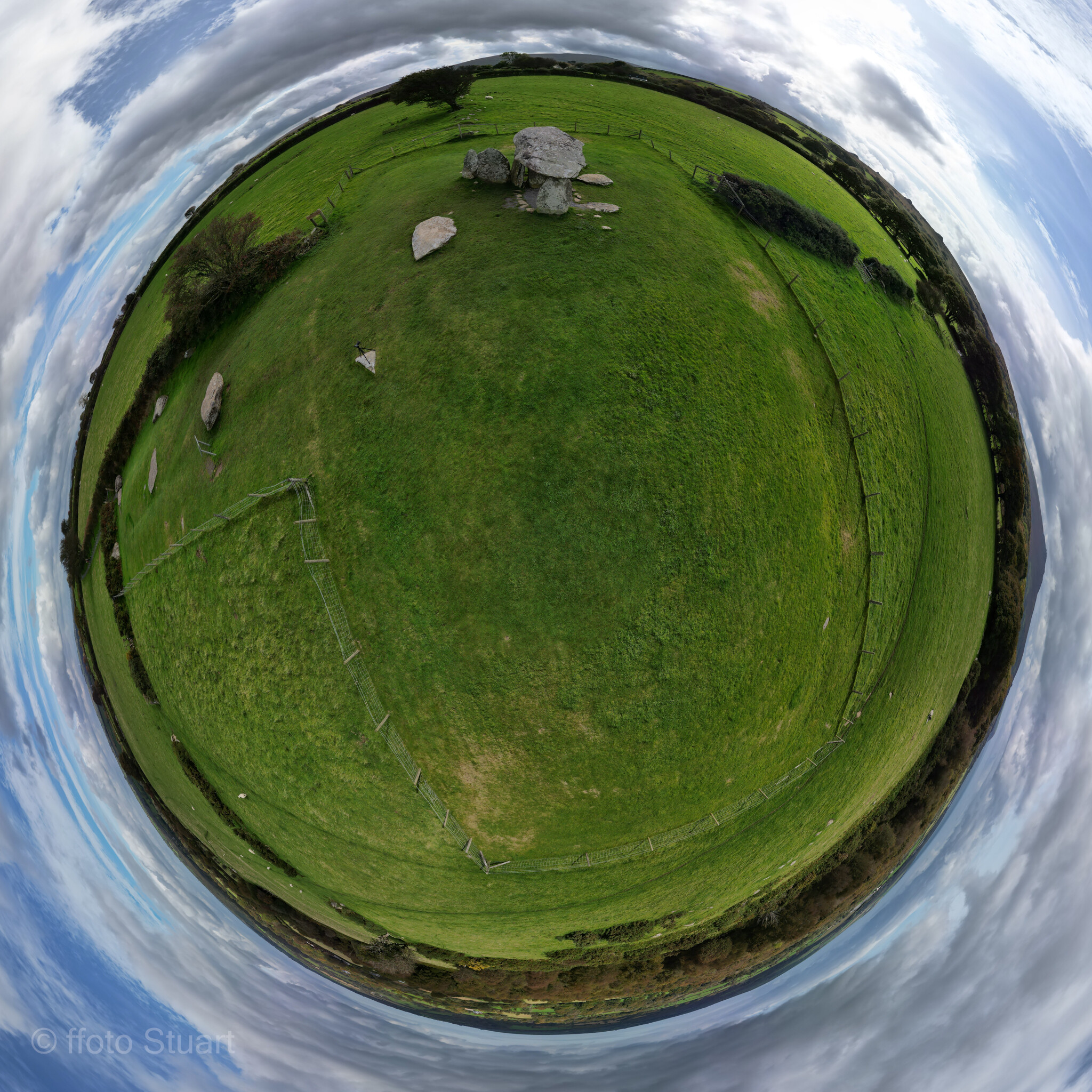
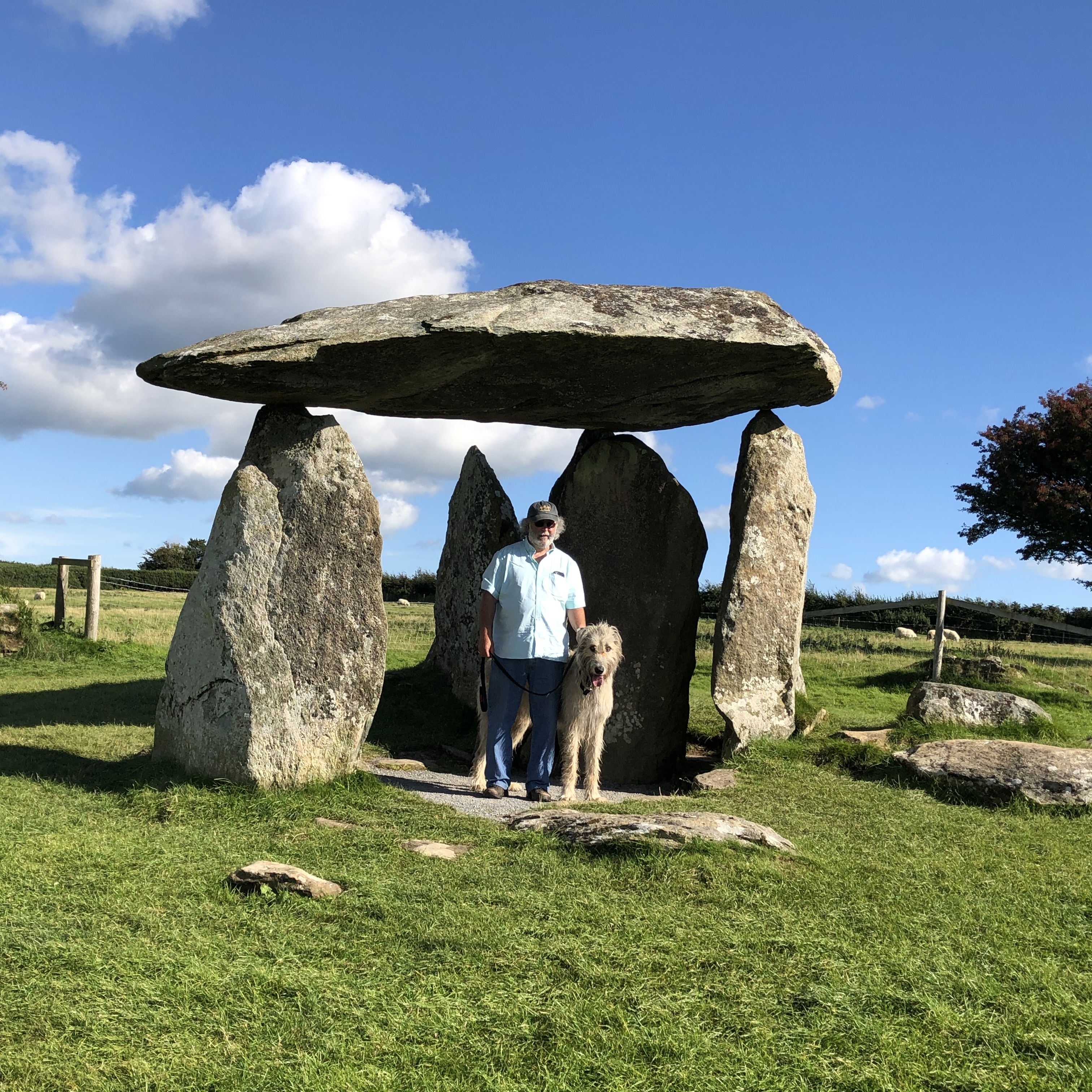
Aerial shot of the Pentre Ifan Chambered Tomb near Fishguard. Whilst it is under the care of CADW [see CADW.gov for details], they are open to imagery for 'personal use' but don't allow take off and landing from their land.
That's not an issue here, as the road is approx 150m, and the footpath leading to it is probably not their land either! Parking is limited to about half a dozen vehicles in a layby and the footpath is directly off of one end of this,
The originator declared that this location was not inside a Flight Restriction Zone at the time of being flown on 06/10/2025. It remains the responsibility of any pilot to check for any changes before flying at the same location. Landowner permission may be required before taking off.
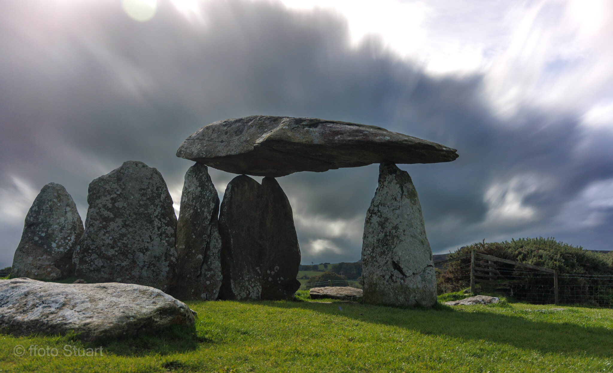
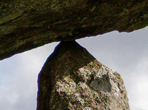
I spent ages looking at just how fine those tips are. It is literally balancing on three points of tiny rock!
And qq @PingSpike - storm Amy cut down a lot of my locations I was going to get the drone up at, and so all I have are handheld camera shots from those locations. Should I add those as well? Had it not been so stormy, I would most definitely have got the drone up.