I have just added this to the map of places to fly your drone at Drone Scene:
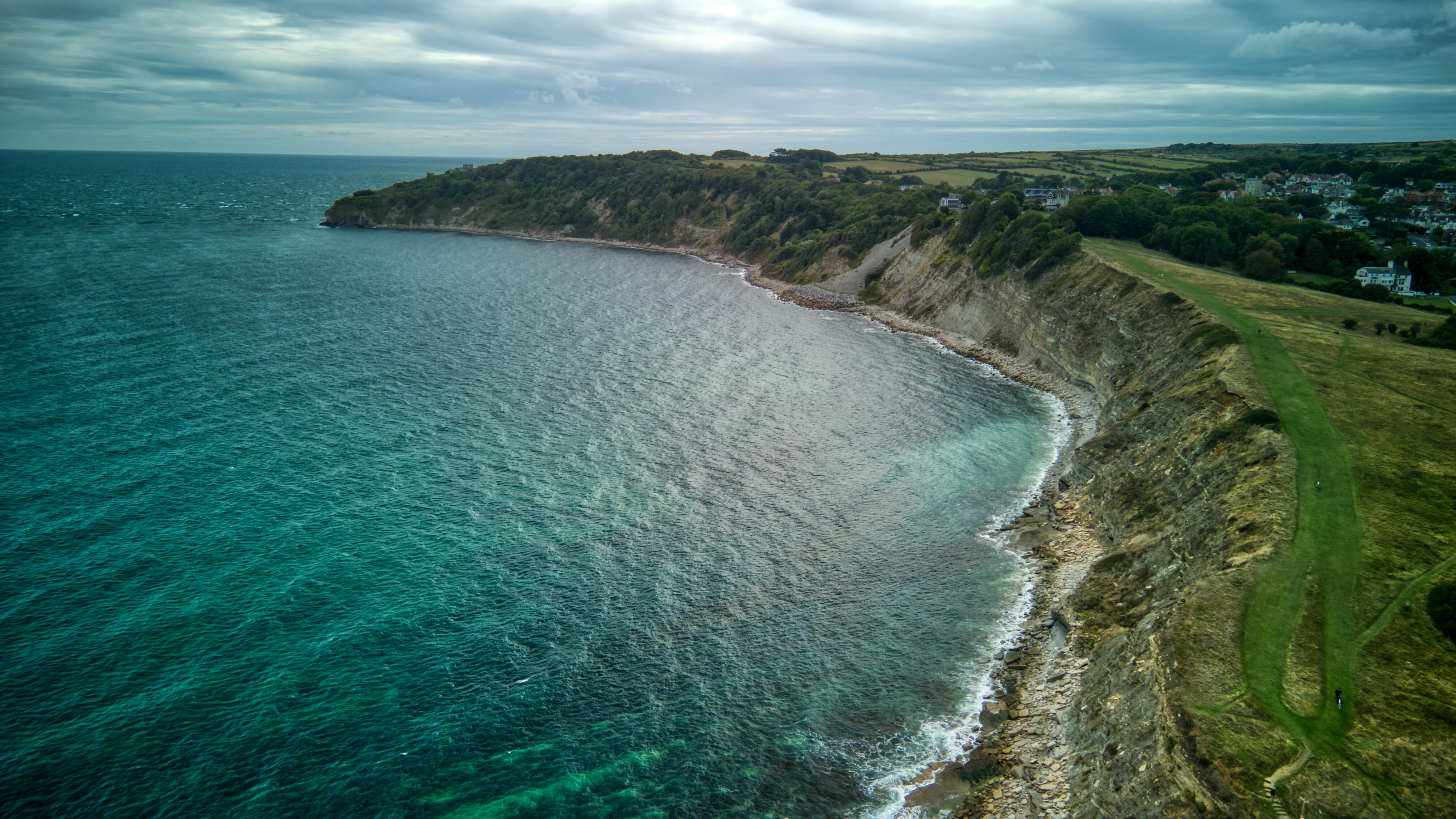
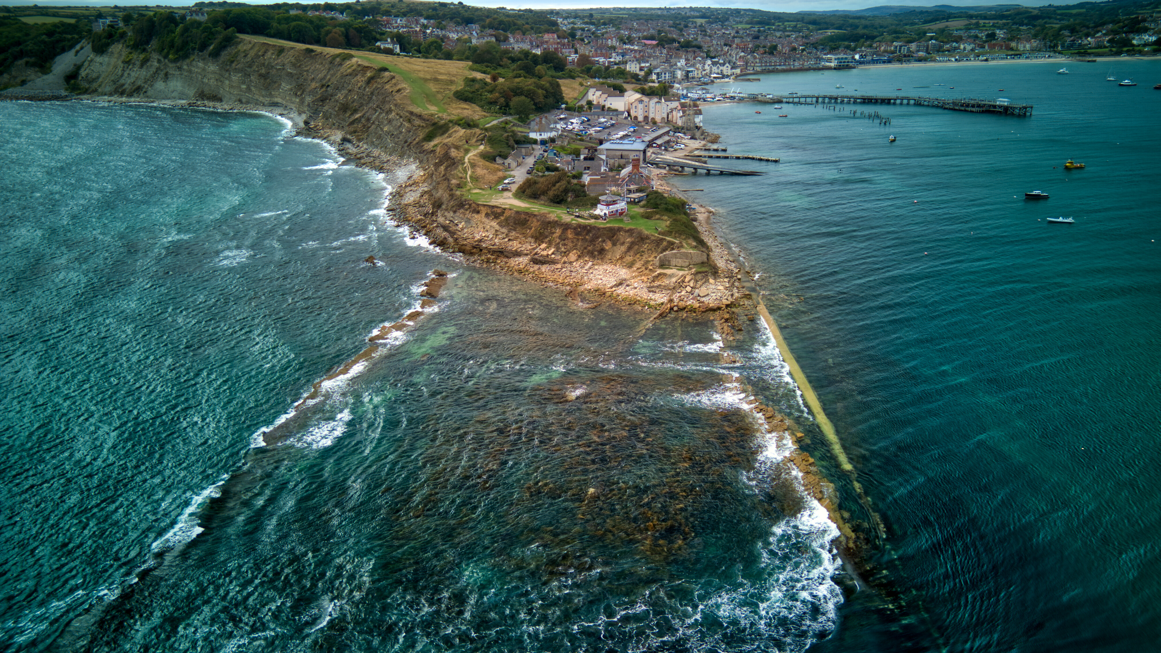
Peveril Point is a headland on the east-facing coast of the Isle of Purbeck in Dorset, England, and is part of the town of Swanage. It forms the southern end of Swanage Bay.
The rocks that make up Peveril Point are shale and Portland and Purbeck limestone in a syncline structure. This has resisted erosion more than the adjacent clay of Swanage Bay; whilst the clay has eroded away over time, the limestone has remained as a headland.
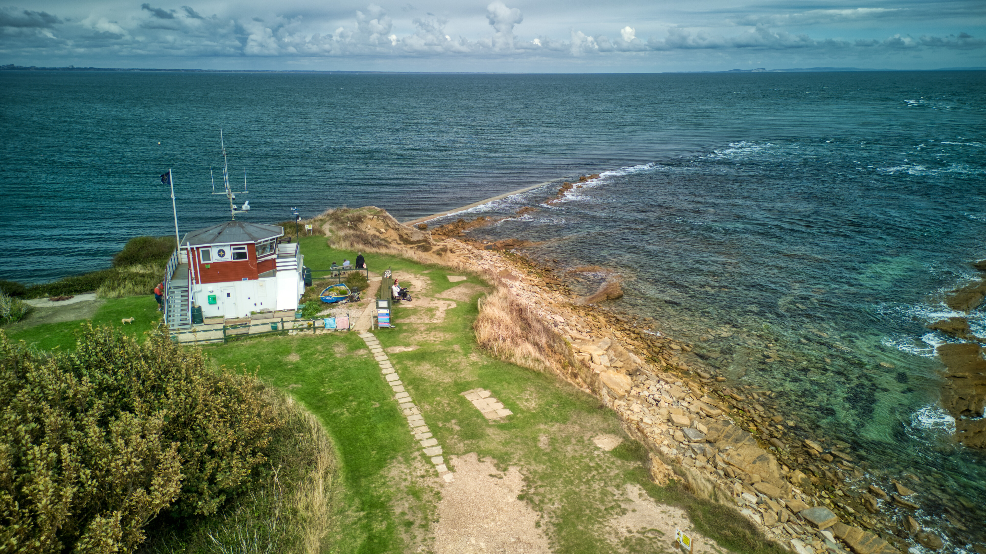
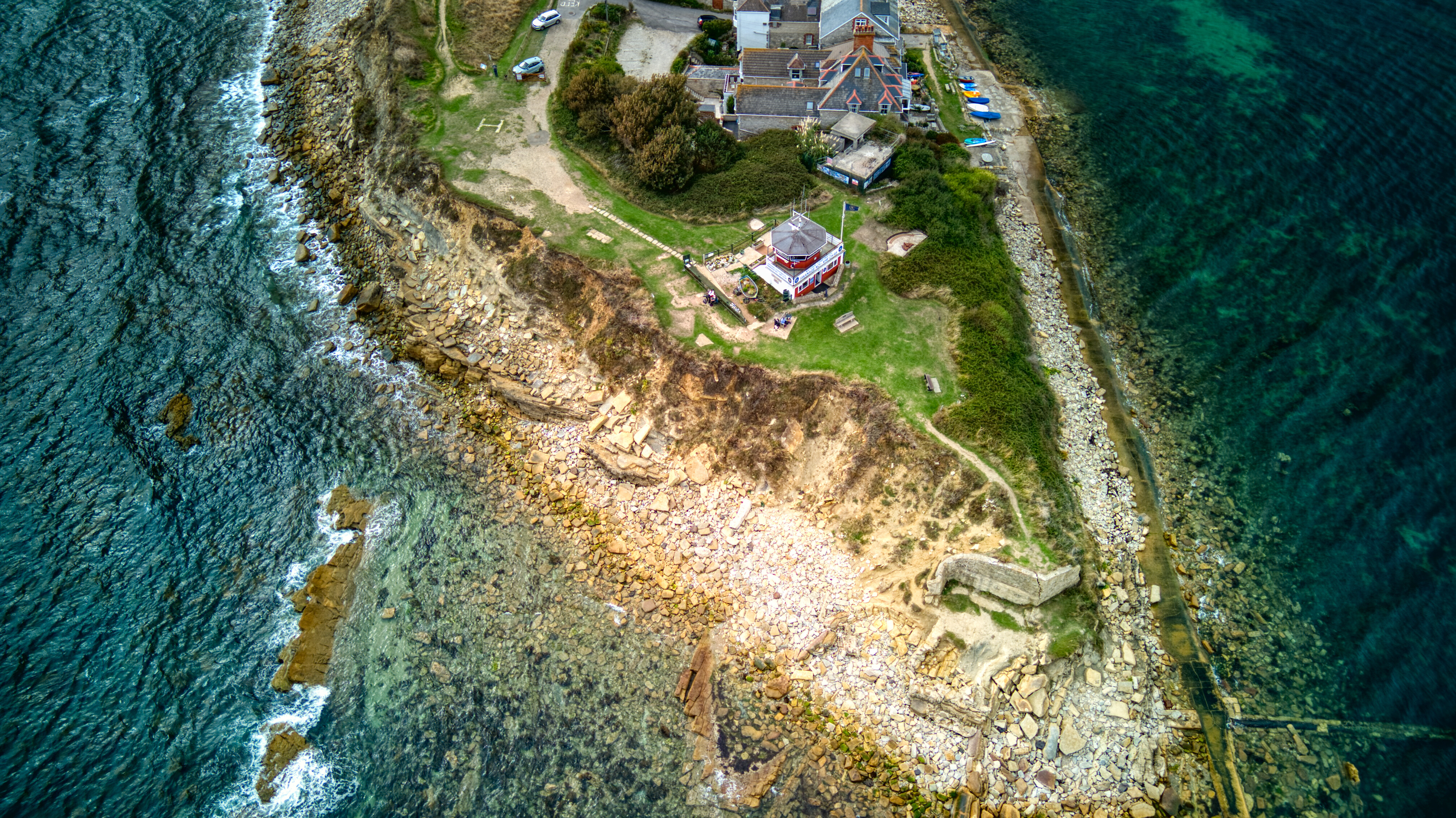
On top of Peveril Point is a National Coast watch Institution lookout. The point is also home to Swanage Lifeboat Station.
Peveril Point contains tunnels connecting disused gun emplacements which defended the entrance to Southampton Water from the west of the Isle of Wight during World War II.
TOAL was from the Helicopter Landing “H” to the side of the Coastguard Observation Station.
This area is on the Northern edge of the Portland No Fly Zone, so check in which direction you fly.
No close parking, nearest car park is Broad Road opposite the Pier.

The originator declared that this location was not inside a Flight Restriction Zone at the time of being flown on 09/09/2025. It remains the responsibility of any pilot to check for any changes before flying at the same location. Landowner permission may be required before taking off.