Following on from previous post ref mapping.
Mapping anomalies RAF Mildenhall.
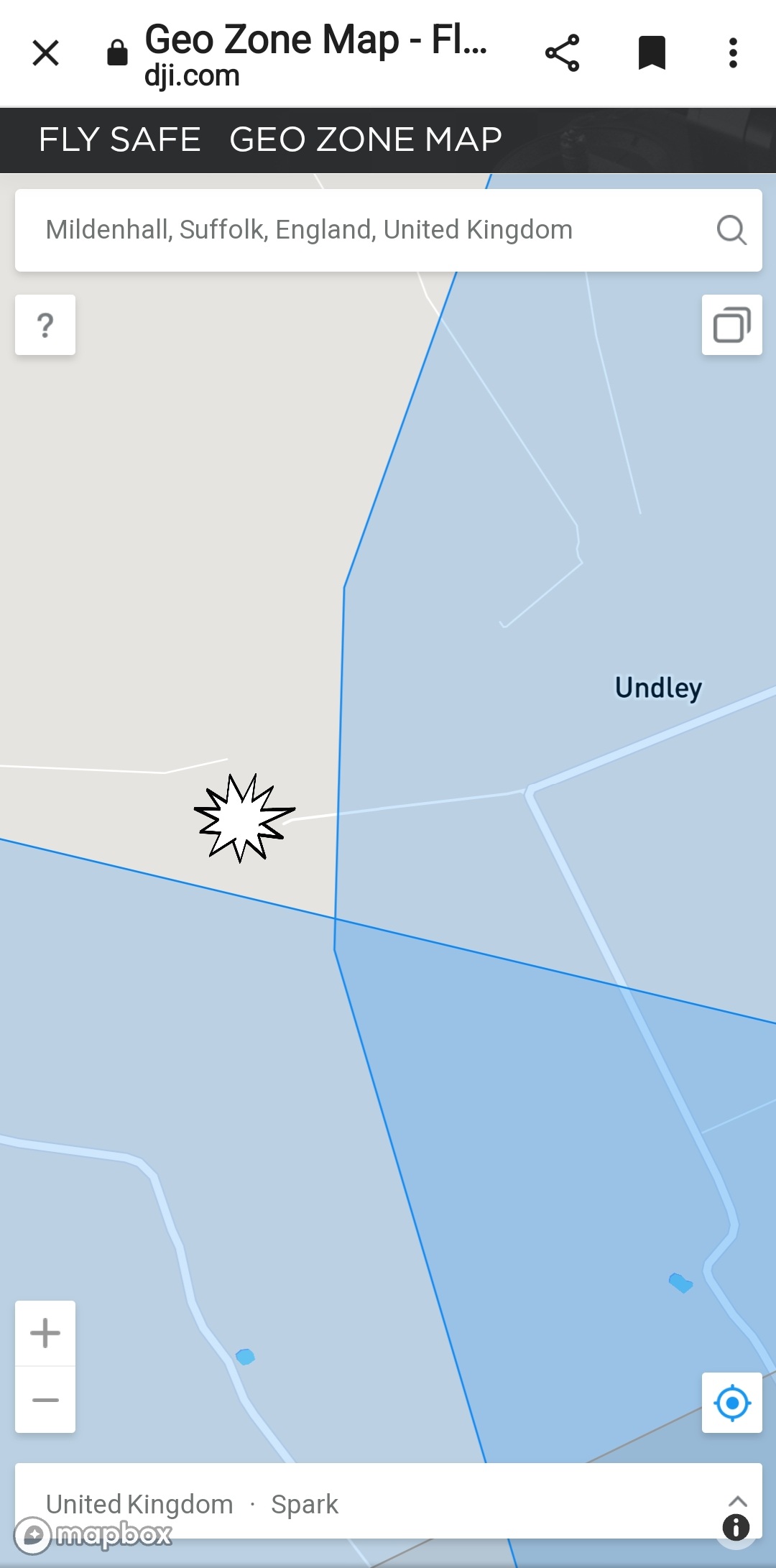
DJI Flyapp / Drone Assist.
As you can see Flyapp shows no restriction, Drone Assist shows restriction.
Got permission from RAF Mildenhall easily. On the day, initial warning of proximity to airfields, followed by need to get DJI unlock code. RAF Mildenhall had raised a NOTAM so now effectively restricted airspace. Easily sorted, code input.
Went back following day, no NOTAM in force. Same display and cautions from DJI Flyapp. Without knowing better and just following DJI Flyapp mapping, I could have flown, illegally, in an ATZ.
This may be why RAF Mildenhall are getting ATC Zone incursions.