New to flying Mavic Mini. Can Drone Assist still be used to ensure there are no restrictions where one wants to fly? If not, is there an alternative, please?
You are a GADC Gold Member .. dronescene.co.uk has all the info you need.
There’s also an app uav pp lite or full. Small charge and get all the easy to use planning, h&s, flight restrictions, weather s plus info for almost all the aircraft traffic controls around the country.
Good members also get drone scene access included
I wouldn’t pay money for that…It looks like a lot of it is open source info just bunched together looking at the screenshots on the App store but correct me if I’m wrong…£39.99 for the full version… I could get a Ryanair flight for that! ![]()
Drone Scene was a superior resource to Drone Assist even when Altitude Angel (DA’s source of information) were fully functioning, and they are now defunct; therefore DA is no longer being updated. So it only tells you where you used to be able to fly, which for the purposes of ensuring you are flying legally now is worse than useless, it’s potentially misleading, especially when it comes to relevant NOTAMs. Don’t use DA!
DS used AA information when ot was available, but uses other sources as well, and is being continually updated in real time. I know of no better UK mapping for the purpose of planning legal drone flights.
Minimally
The only change i’ve noticed since the whole AA thing is DA not requesting authorisations via UTM. Something i never actually used..
Notifications and notams still appear in line with other sources. DS, notaminfo etc.
I still routinely check a few different sources if im planning more than a swift 5 minute peekaboo.
I maintain the opinion that using only one source for accurate flight information isnt doing the most complete research. I’ve caught a few discrepancies in the past.
I wouldn’t say it’s misleading. The platform is showing active temporary flight restrictions including the restriction for the Cenotaph in London on the 9th November. All the correct NOTAM information is also listed.
Just don’t touch it for UTM’s as nobody is at home!
The lite version is UK only at 9.99, whereas the full version is 34.99 for worldwide. The owner is really switched on, and will help whenever contracted. Tenner is ok and puts it all in one spot with prints of all necessary documents for commercial use. I wouldn’t buy the full version but have the lite and use it for all commercial/paid for flying. But hey it was only a suggestion. Perhaps, as a newbie ish here my opinion wasn’t needed. So I’ll perhaps just read and not answer in future. Thanks for the feedback
I wasn’t personally criticising you at all. ![]() I was having a pop at the pricing for the App. Chill out a bit.
I was having a pop at the pricing for the App. Chill out a bit. ![]()
i would be careful with PP lite, it has had no update for a year, several bugs and the mapping is slow, limited to airports only really. It looks to be a dead app i.e. no longer in development.
Drone scene is very good, everything is on there. If you are using IOS or iPad OS open it in Safari, click the share icon, go to the option for add to Home Screen. Make sure the slider is on to create a web app. You now have a homescreen app just like any other.
Neither has the ridiculously priced full version…
My other career is in IT Sales, originally a very technical guy. When looking at software I always check for time of the last update and the frequency between updates. How long it has been on the market. It gives you a good idea of where the software is going.
Subscription licensing is fine if the software is moving forward (updates, functionality etc.) and the fee relates to the value derived from the tool. Plenty of stuff out there where if you looked at 3 years of cost the question really is “is that £££ value to me”
In the IOS world plenty of apps are developed by one. guy, makes a few ££ then moves onto something else…. software dies… slowly…
@YT-Chester next year we’re going to carefully plan the times and dates of all the Drone Scene commits to make the activity graph spell out GADC ![]()
A feast for my eyes a proper software development lifecycle…. ![]()
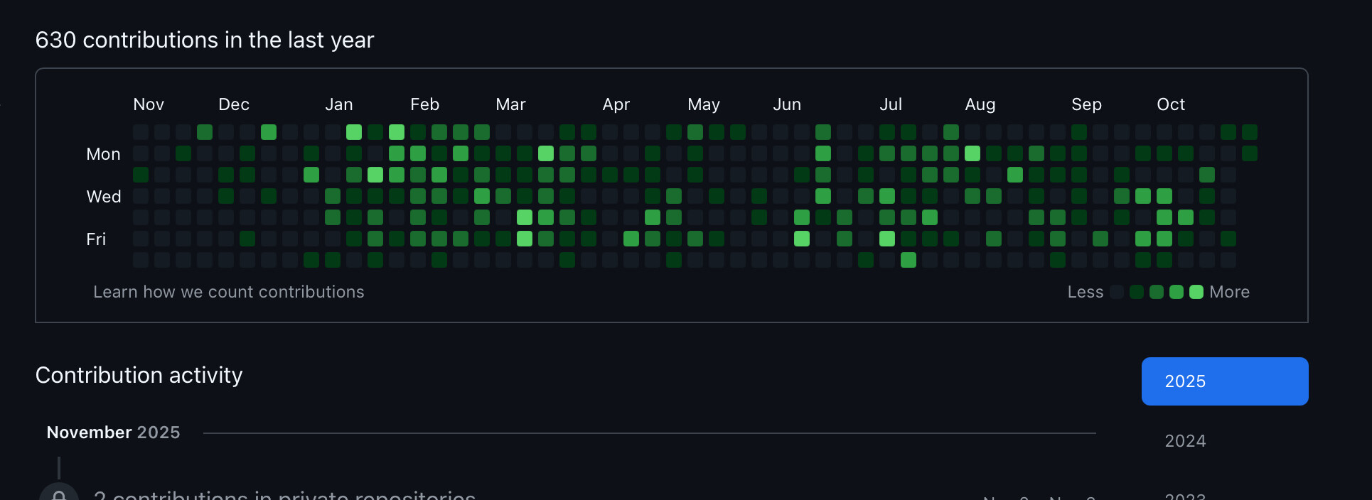
Is that a pixellated night vision view of the disgraceful (and hushed up!) goings on at last year’s first Big Meet? If I squint I think i can recognise @PitchFader … ![]()
Is there an app for that, or does one need to use the website?
No need, you can do this:
Android also offers a similar native app experience ![]()
Perhaps uav_hampshire you should read
https://greyarro.ws/faq#be-civil
Seriously, you need to get over yourself… I’ll repost what Ive pasted below..
Don’t take things so personally. I’ve had people had a pop at me before on here, the next day it’s all forgotten about. ![]()