Is it just me doing something wrong or is it just the way the software/site work?
The following screenshot is a full screen view on a 24" monitor, all good
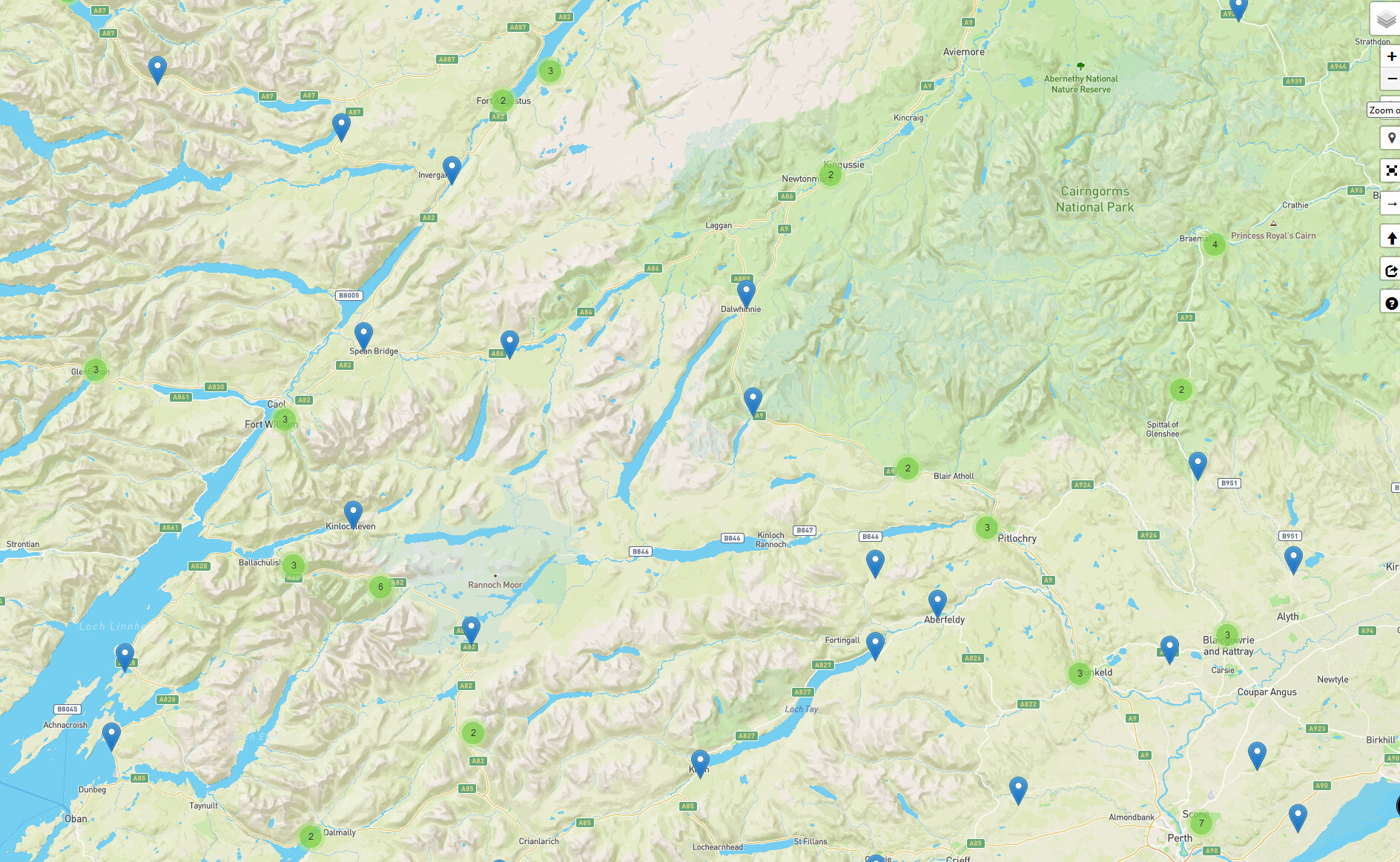
Similar with SSSI areas, you only see it at the same time the ground hazzards, it would be nice to still see it 1 or 2 clicks later when zooming out or maybe have a feature where you can lock it or configure some way. I tend to work using the map starting at 14km wide but only get to see sssi once in at 3-4km.
All Air Space data is only show once zoomed in to a certain zoom level when the information becomes relevant.
This is to prevent seriously large amounts of data being loaded on every map movement that would both significantly slow down the service provided and also cost the club even more money.
The blue colour (your 2nd image) is quite noticeable, you can click on it and get the information for the NOTAM for where you want to fly.
Does one need to know how large a NOTAM area is?
The whole point of Drone Scene is to inspect what’s relevant to the location you plan to fly … not for the whole of the UK.
And that’s what I done to find out what the NOTAM was for.
Well yes, seeing as the area for this NOTAM covers almost half of Scotland. But no I don’t want to see the whole of the UK.
It wasn’t a criticism by the way, I was more asking if I was doing something daft, or if there was a way to see the full extent of the NOTAM in one go (on Dronescene). And not have to play with microsoft paint
But why? You can’t be flying in every part of Scotland.
You may be planning to fly in 5 or 6 places … you pan to those locations and zoom in to see the relevant data.
NOTAMs are only relevant to you for where you are planning to fly.
Knowing the NOTAM is 100x larger than your drone can fly on a battery (ignoring VLOS) doesn’t really have any relecance to flying a drone … which is the sole purpose of Drone Scene.
Don’t you just have an idea where you might fly and then check those locations to see if their are ANY restrictions at those locations, including FRZs, etc., not just NOTAMs?
As I said, if there is a NOTAM/NFZ blocking the spot you had looked at, you might want to push out further and find a new spot. You don’t just down tools if your known spots were blocked.
TBH I think this NOTAM seems overly large but I’m not sure on the logistics of a hang glider competition. They are based at Blair Drummond Safari Park near Stirling but they must spread out to find good flying areas during that week.
This one is like the Battle Of Britain NOTAM which seemed to cover half of England.
But do you look at one location, see there’s an issue, and then decide to check another location that’s 200 miles away as an alternative?
Because that’s the only scenario where I can see any relevance to seeing its overall size.
In this instance, in any case, once you notice its existence, you’d click on it to understand it’s reason and discover its a warning - and doesn’t actually prevent you flying … anywhere.
Then your travelling isn’t based on what you find out on DS or a NOTAM.
Things change whilst you work/travel, and you still need to re-check when you are at a new location.
Obviously phones don’t have this as an option … yet.
Personally (as you may have detected ) I don’t see the current viewing arrangement as a problem for planning to flying a drone … and, thankfully, to date, such large NOTAMs are rare and not restricting to drone flying.
Worth remembering that Drone Scene shows ALL NOTAMs, and these are primarily for pilots of aircraft - so checking the details of NOTAMs to ascertain their relevance to drone flying is really essential.
Unfortunately there’s no means of differentiating between NOTAMS that are/aren’t drone flying relevant that can be used to filter them.