I have just added this to the map of places to fly your drone at Drone Scene:
Land owner permission requirements unknown.
St Albans Cathedral, officially the Cathedral and Abbey Church of St Alban, also known as “the Abbey”, is a Church of England cathedral in St Albans, England.
Much of its architecture dates from Norman times. It ceased to be an abbey following its dissolution in the 16th century and became a cathedral in 1877. Although legally a cathedral church, it differs in certain particulars from most other cathedrals in England, being also used as a parish church, of which the dean is rector with the same powers, responsibilities and duties as those of any other parish. At 85 metres long, it has the longest nave of any cathedral in England.
Probably founded in the 8th century, the present building is Norman or Romanesque architecture of the 11th century, with Gothic and 19th-century additions.
The originator declared that this location was not inside a Flight Restriction Zone at the time of being flown on 18/12/2023. It remains the responsibility of any pilot to check for any changes before flying at the same location.
4 Likes
I want to fly here @speedracer66, have you got any tips or advice on where to park?
I parked in a town centre multi-storey and walked down, but there is metered on-street parking between the cathedral and the pub on Fishpool Street and Abbey Mill Lane.
Thanks. I did read that. I used the button to add the place to my wish list. I didn’t realise that it would add the automated message.
I’m quite local to there.
2 Likes
New feature. It’s what makes DroneScene the best flying resource there is 
Hi, the Cathedral website says no drones. I assume TOAL was in a nearby street? Did you have any hassle from the Clergy? Thanks.
The website with at least two drone photos on? I didn’t look at it. Why would I? It’s just a building in a town centre.
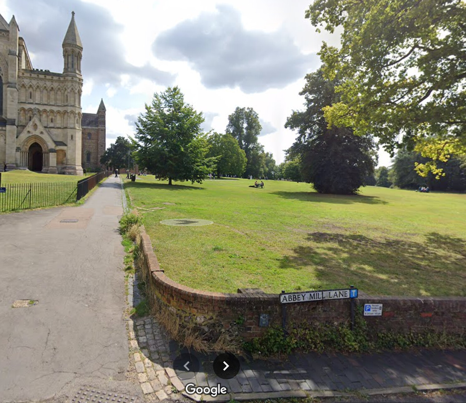
TOAL was from the grounds* - no hassle from anyone - but I suspect their ban is as enforceable as their tripod ban in the grounds and there are plenty of suitable TOAL sites on the streets around… No signs indicating that they are private roads. On street parking is council operated.
This is an interesting power grab from the council -
CAP 3939 isn’t a thing. CAP 393 2009 is, but if you search for CAP3939 you find a large number of local councils with a similarly illegitimate copy pasta rights grab.
Bonus points to Plumpton Parish Council who add Article 166. Article 166 of the ANO is the one that says pilots shouldn’t be mad or drunk (I’m paraphrasing slightly, m’lud) and doesn’t specifically refer to drones (although it does apply) and says nothing about them flying over council land!
*It was from the area to the right of the fence around the cathedral in the attached shot. Not obvious to a casual visitor if that is inside or outside ‘the grounds’.