I have just added this to the map of places to fly your drone at Drone Scene:
Land owner permission requirements unknown.
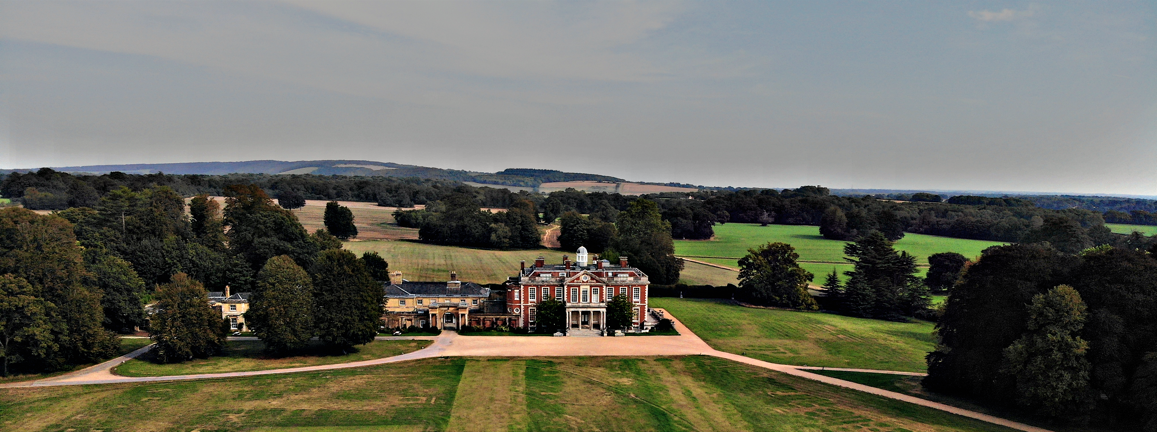
The Stansted Estate covers 1800 acres and has public rights of way crossing it. They are shown on the West Sussex rights of way map available on the net.
I parked at the signposted garden centre cafe and walked along the bridleway (also signposted) that runs parallel to the front of the house. It’s 2 metres wide and attracts serious walkers, horse riders and cyclists. There was time to launch as it’s not a continuous stream of people.
The house and gardens are closed, but projected to re-open at Easter 2021. The garden centre and case, which I am told is good, are currently open.
There is no drone policy on the website but I imagine that once the grounds are open there will be restrictions. The website has contact information if you want to try your luck.
The originator declared that this location was not inside a Flight Restriction Zone at the time of being flown on 15/09/2020. It remains the responsibility of any pilot to check for any changes before flying at the same location.