A few months ago I purchased a Mini 2 for a Scotland trip I am going on in a few weeks. I was hoping to get some simple aerial footage of places we visit eg Glencoe, Isle of Skye etc for my personal trip videos.
But on researching it seems to be unclear where/if I am allowed to use it at places I intended to, even on looking at the zone maps.
Eg, Isle of Skye - Old man of Storr and The Quiraing fall into the ‘under 750ft’ bracket on the dronescene zone map, but I’ve seen some posts where people there have contacted agencies and been told to report in advance any flights with full details.
Glencoe area seems to be owned by National Trust (or is that just the visitor centre?), who also require advance permission, as do Historic Environment Scotland sites.
My current thinking is just avoid the hassle and leave the drone at home. Anyone flown around these areas recently and can shed light on it?
Pretty sure that its just advising you that notams pop up quite quickly. You should be ok to fly though as long as nothing is current. @Drumsagard will know more
Hi manchos i have flown up at glencoe a lot and have had no problems at all would advise you take your drone you won’t regret it you have to capture the lovely scenery we have up here
I have been to Glencoe twice, Fort William 3 times , and Skye in the last 8mths, and never had any problems flying, just check Notams, enjoy your time, therd are some phenomenal places to fly
Yep NTS own all of Glencoe as far west as the Glen Etive road. Check out the link below where I posted a copy of the Marine Scotland map which shows the NTS Glencoe boundary and some pointers on where to take off and land from.
No you can’t rely on the DJI app, it’s pants. I only ever use dronescene nowadays.
I’m sure the Eilean Donan area is restricted for the same reason as a lot of the highlands and west coast. The RAF use it for low level flight training. All you need to do is check dronescene before flying and check there are no NOTAMS issued, so be sure to make this layer visible.
On my last visit to Eilean Donan Castle , there were parking staff ( i presume ) marching around telling anyone with a drone that they couldnt fly. However, drive past a little bit and TOAL from just up the road and i reckon youll be Just fine.
It’s a while ago since I flew up there all around Isle of Skye and northern roads of highlands. To be honest I flew using a Spark in 2019. A little bit of forward planning and appropriate timings you should be ok. Research Google maps for ideal TOAL points, measuring distances to point of interest, allowing for battery life. The scenery is forever changing and not taking the drone is daft as you’ll regret it once you’re up there
Eilean Donan Castle the last time i was there was no flying of drones between 9am and 6pm when the castle is open, i am almost sure there is a sign that points that out, i TOAL from about 200yds down the road coming from the Fort William direction, and also if you go into Dornie village and follow the signs for a view point up the hill is a perfect place to fly from
I saw similar. I took off from the rocky foreshore area about 200m away. There’s a little community centre with a car park (Dornie Community Hall and Car Park) and paths that lead to the “beach”. Only downside were the midges.
As did about 5 other people i saw over an hour or two.
Likely the safest location as well, 250m clear VLOS and nothing but a water path between you and the castle.
Skye i had no problems either and never any people nearby to worry about. Although being Scotland the wind killed 4 out of 6 flying days instead…
Trust me, on the west coast at this time of year you need the wind to keep the wee bastard midges away. I’d rather not fly than be attacked by them, seriously, they can make life impossible
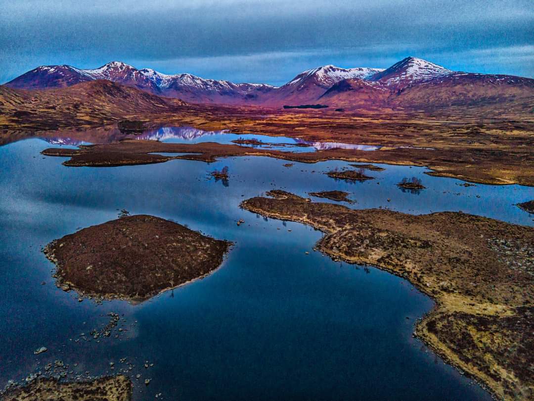
If you go to Skye, Plockton is worth a visit. Pic is one I took years ago.
Whenever I’ve been to west coast, I’ve found Avon’s “skin so soft” work well to keep the midges away
Just hiked the WHW in Scotland carrying the Mini 3.
No issues flying it and its quite satisfying to see the props chew up the midges on takeoff and landing… (!)
Yes there is a 9am to 6pm sign. We were there in April on the way up the west and stopped there about 6.30 (by chance). Absolutely no one around and i got some brilliant uninterrupted footage.