Dizzy ;o)
Im gona pop along at todays morning low tide.
Pop the m30 up any get some exact coordinates and distances. Just for funnsies
Don’t go playing in that mud!
Hehe,
Not my intention ![]()
How does one get the map icon in the bottom left corner of Kuula 360 images?
PS I have a free Kuula account.
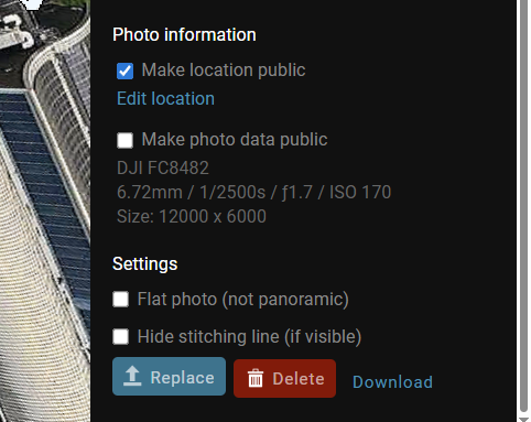
I haven’t consciously gone for a map icon so I assume it’s a default setting. I use Kuula on a Windows PC, there may be a difference if you are using it on a tablet or phone - I know the upload maximum sizes are different between PC and phone.
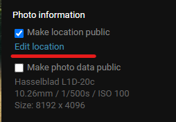
I’ve just had a look and, on the PC, there is a settings sidebar when you image has been uploaded. It gives you oprions for description , filter, HDR and the like. If you scroll to the bottom there is an option for location infor mation to be shown:
Excellent, thanks. Even better it seems I can turn the map icon on for spheres that have already been shared.
If you’re only uploading images stitched on the drone, they will have the location included in the exif data.
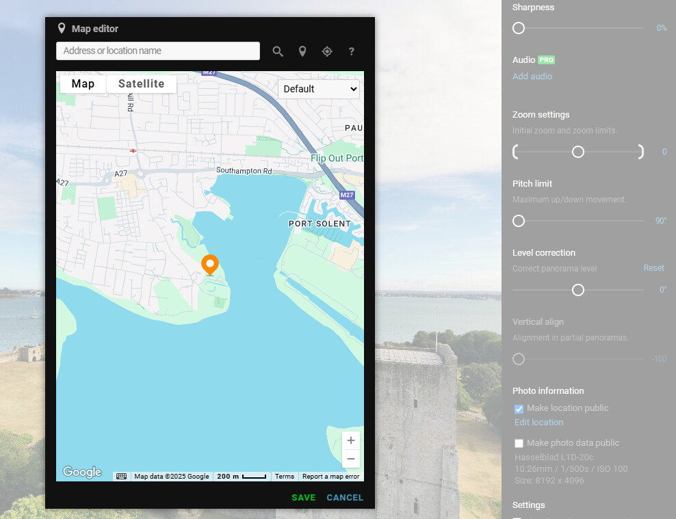
If you’ve created the image by stitching yourself, then you need to search for the location before it gives you a pin to position more accurately.
Thanks. I’m using dji Air3S created spheres. I just needed to turn the location on in Kuula.