Bear with me on this one, a newbie wants clarification/opinions…
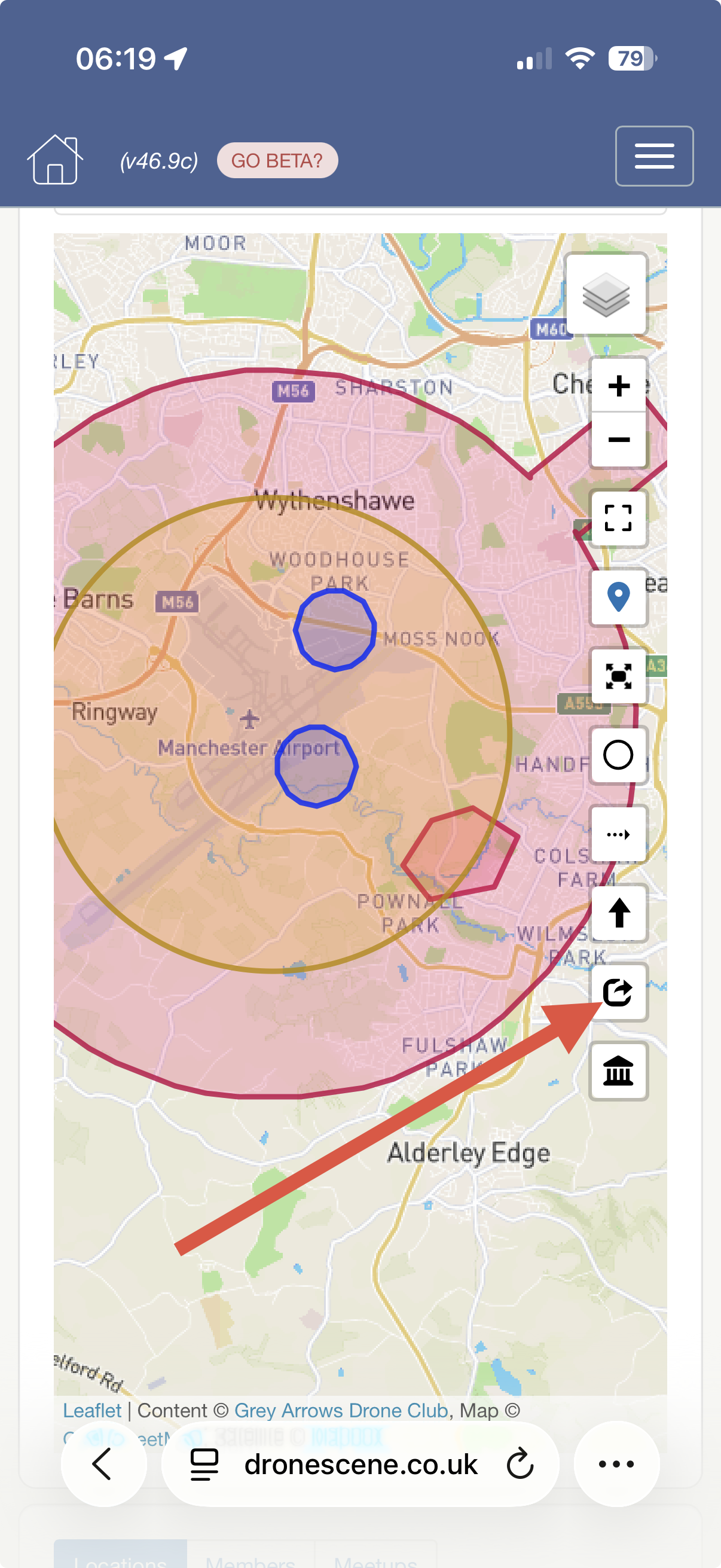
I’m looking at a potential flight location that falls within three of the “Airport Circlea” shown in UAV Forecast. The three airfields are a mixture of two small private grass strips and one hard-surface airfield that also has parachuting operations.
I’m aware of the CAA guidance around Point 7 and the need to consider aerodromes even where there isn’t a formal FRZ. However, none of these three airfields appear on the NATS airspace restrictions map.
So, where I’m getting a little confused is this: is this essentially a case of being extra vigilant, carrying out a proper risk assessment and making sure I don’t create a hazard to any aircraft — or should I be contacting some/all of the airfield operators before flying?
I’m particularly interested in how others would approach this from a practical/Drone Scene perspective. I don’t want to overcomplicate things, but equally don’t want to take “not on the NATS map” as meaning “nothing to worry about”.