I’m new to drone flying and navigating the blizzard of apps and websites can be confusing, so this announcement of an apparent takeover of what i thought was some sort of official service is a bit confusing. Observations welcome:
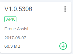
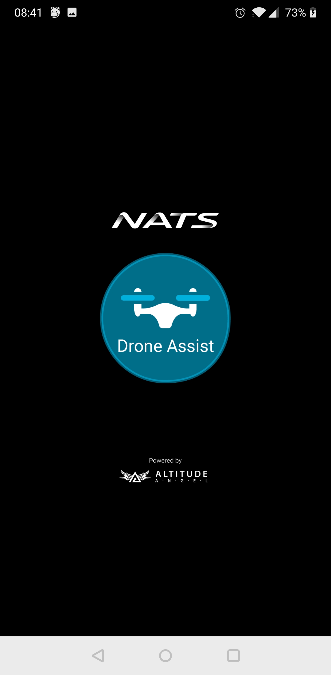
“Altitude Angel, the world leading and award-winning UTM (Unified Traffic Management) technology provider, and NATS, the UK’s major Air Navigation Service Provider, have today announced that Altitude Angel is to launch an updated version of Drone Assist without the NATS brand.”
The Drone Assist app has always been a joint venture between NATS and Altitude Angel, but I suspect behind the curtain it’s Altitude Angel doing all the technical work and the NATS contribution was legitimacy. So I wouldn’t see this as a ‘takeover’ as much as branding catching up with reality.
It probably opens up AA to make changes and add new features that NATS, being a public body, would have shied away from. And for NATS it means they aren’t tying themselves to one particular app even as they recommend several on DroneSafe.uk
So long as the data from AA is still available for Dronescene, it’s all good.
(I’ll admit, I’m slightly amused that they’ve got the URL for DroneSafe wrong in their own press release)
Being new, I might be attaching too much importance to the apparently ‘official’ branding - as you put it - of NATS. But I think this is important in terms of (a) information authority (b) public perception. Who/what is “Altitude Angel”? Never heard of them. See my point?
What? I ALWAYS use it before every flight. That’s my point. Now, what I thought was an official service has been rebranded by some outfit I’ve never heard of.
I’d still recommend using Drone Scene over Drone Assist … ALL of the information on Drone Assist is shown on Drone Scene, plus …
You can use the web interface on your computer for better visualisation
Better filtering of the same information leaves the map less cluttered and focuses on information that’s most relevant to yourself
It has other map overlays that are relevant to drone flying that don’t exist on Drone Assist
It has other tools that are useful for flight planning.
Perhaps most significantly, it was designed by drone pilots for use by drone pilots, and has been enhance/fine-tuned by input from the members of this forum.
It’s aweseome!
The last may be a biased opinion, but the other points are irrefutable facts.
Well, “all those times” is a handful: I’m new to this. And no, not particularly, to be honest: I presume they have just rebranded it following the announcement of a few days ago. It’s like the NHS suddenly being rebranded Serco. Anyway back to my question, which nobody seems to want to answer: who are Altitude Angel? Are they now THE official authority over the UK national aeronautical information?If so, who are these people: NATS | AIS - Home
The Aeronautical Information Service is a dept of the CAA/NATS and is the main International notam/aviation information issuer/publisher for the UK under ICAO agreement. No one else is authorised unless allowed by the CAA/NATS.
Ah, there you go. Tiny print - just as my photography websites have me in big letters and “Powered by PhotoDeck” in tiny print: they just make the web engine.