I have just added this to the map of places to fly your drone at Drone Scene:
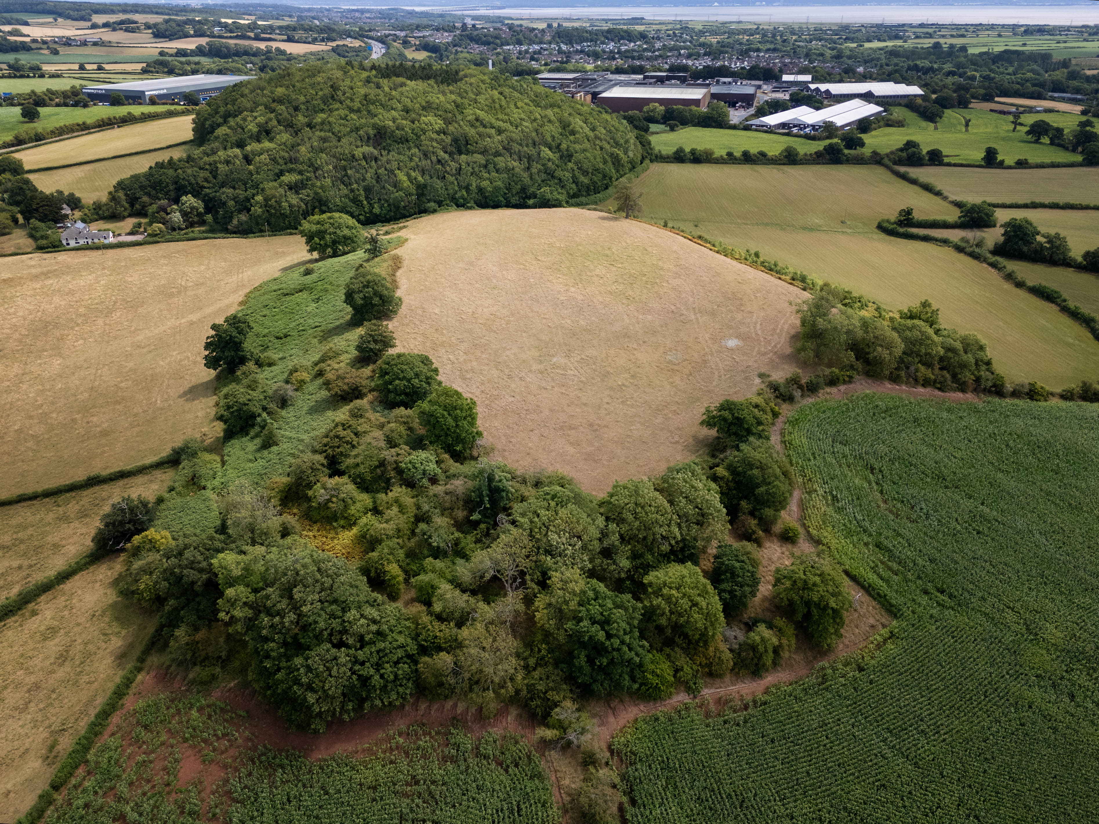
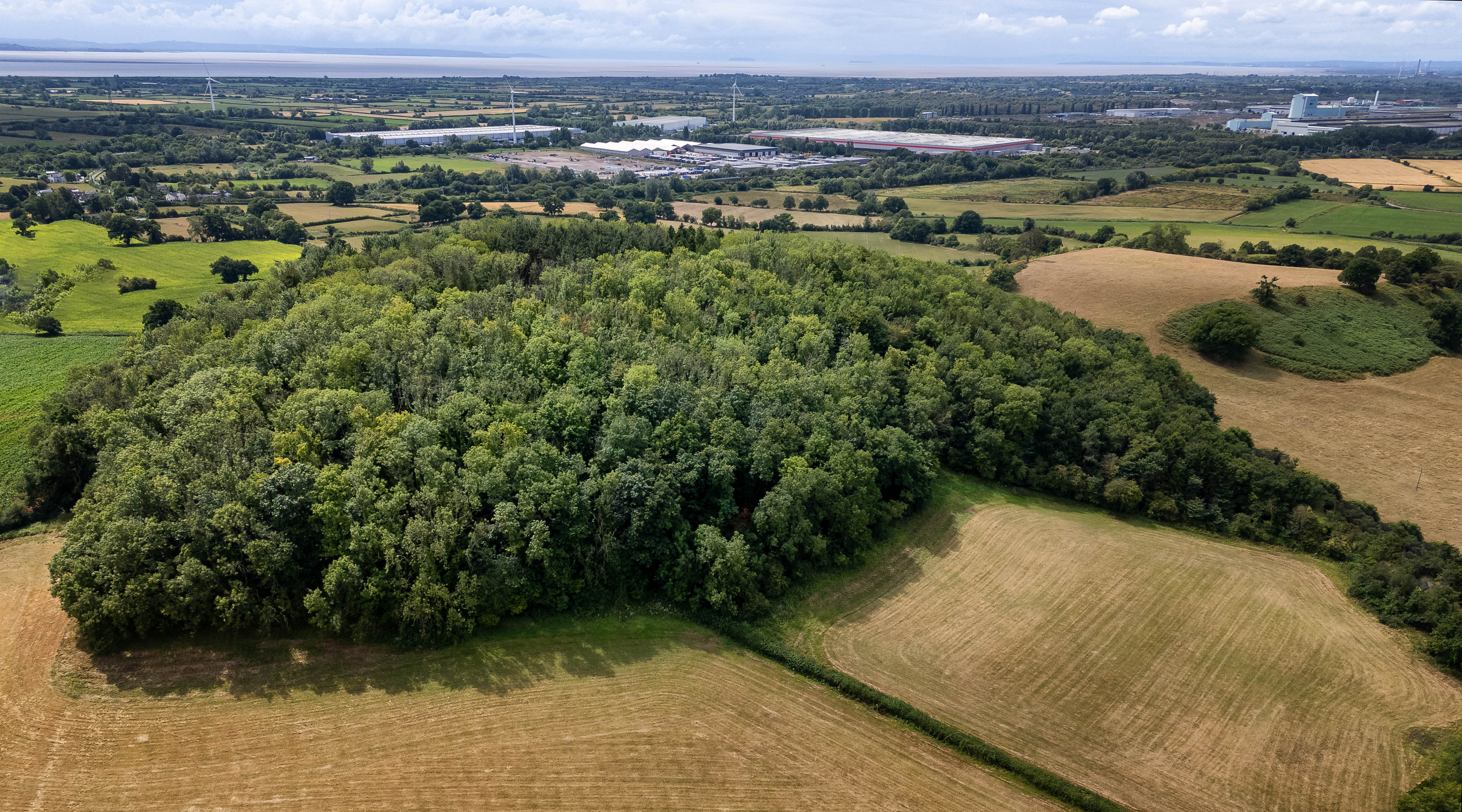
Wilcrick hillfort is located on an isolated hill to the west of Magor. The roughly oval enclosure at measures about 194m north-east by south-west by 34m, and is defined by a series of scarps about the summit, indicating double banks and ditches. There is a possible entrance facing north-east.
It dates back to the Iron Age period (c. 800 BC - AD 74, the Roman conquest of Wales). Wilcrick Hill Camp hillfort stands on a steep-sided small hill entirely covered with woodland. In places this is dense and impenetrable. The defences consist of scarps and terraces on the steep sides of the hill. On the southern side four scarps are discernible, although they are hardly steeper than the natural slope in places. Where clear they are about 3m high. On the E side the hill slopes less steeply and the scarps are fragmentary. Towards the northern end of this side an old hollow way slopes up the hill in a NE-SW direction. It is approximately 3.5m wide and 0.8m deep, and is overgrown. The northern side of the hill is steep and a scarp is visible about halfway up, 3-4m high. This continues round to the western side, which is similar.
The site is well preserved and retains considerable archaeological potential, but is privately owned and securely fenced off.
I’m glad I finally got to explore this as I drove past it 2-3 times a week for 10 years as part of my commute along the M 4 to Cardiff and always wondered what there was to see there. Interestingly, it was the earthworks on the hill adjacent to the hill on which the fort stands that always caught my eye but it wasn’t until looking on the Ordnance Survey mapping of the area that I saw the fort was “next door”..
The originator declared that this location was not inside a Flight Restriction Zone at the time of being flown on 21/07/2025. It remains the responsibility of any pilot to check for any changes before flying at the same location. Landowner permission may be required before taking off.