I have just added this to the map of places to fly your drone at Drone Scene:
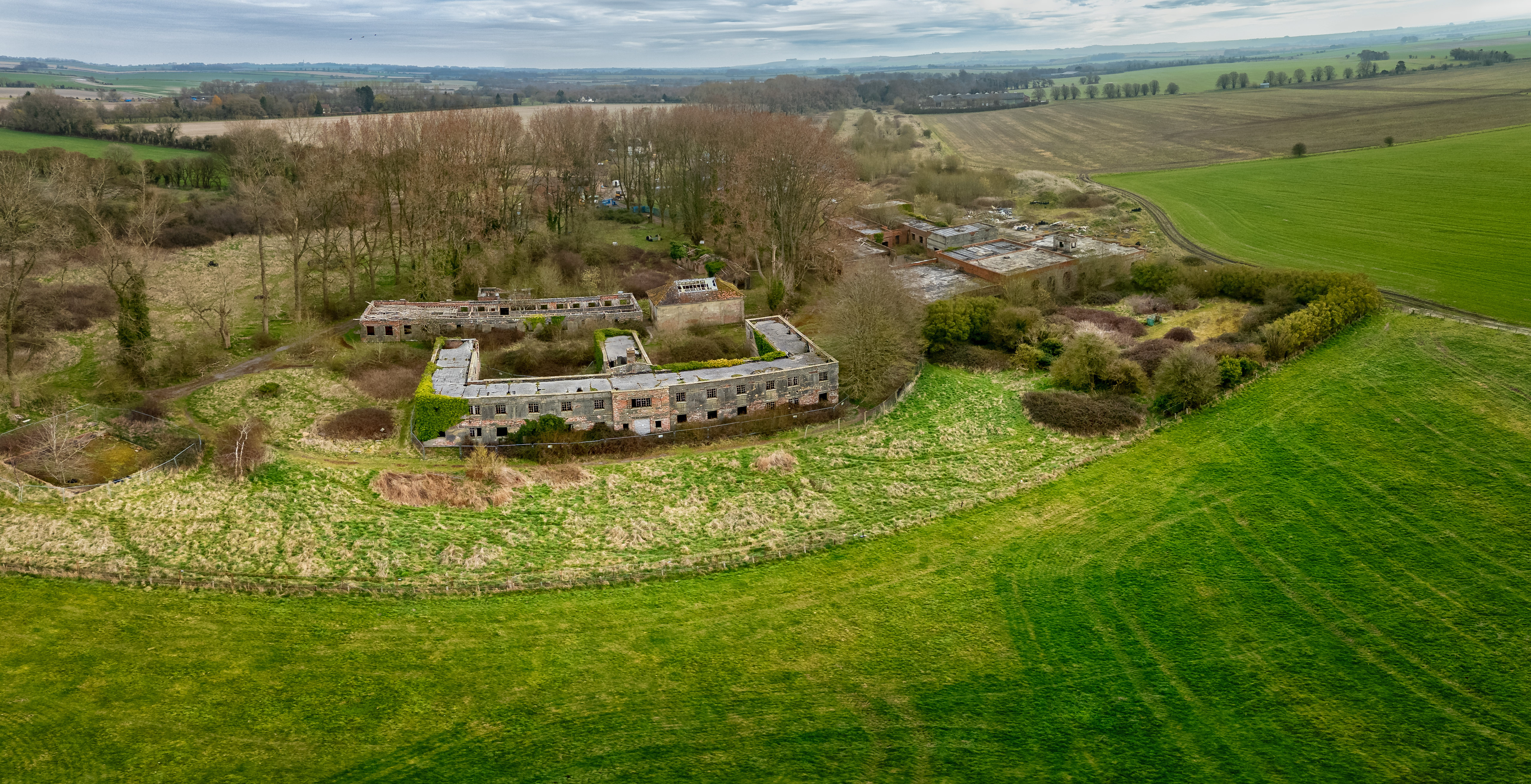
RAF Yatesbury is a former Royal Air Force airfield near the village of Yatesbury, Wiltshire, England, about 4 miles (6 km) east of the town of Calne. It was an important training establishment in the First and Second World Wars and until its closure in 1965.
In 1969 the wooden huts were demolished and the land returned again to farming, leaving only a number of brick-built buildings, including the Officers' Mess, the gymnasium and three hangars.
Since 1987 the two groups of hangars built in 1916 have been Grade II* listed. In 1989 the former Officers' Mess and offices, built in 1936, were listed Grade II. In 1998 North Wiltshire District Council designated Yatesbury Aerodrome a Conservation Area.
The airfield is now farmland.
TOAL point is just outside the Yatesbury Microlight Site area
The originator declared that this location was not inside a Flight Restriction Zone at the time of being flown on 25/03/2025. It remains the responsibility of any pilot to check for any changes before flying at the same location. Landowner permission may be required before taking off.