How can you customise you’re area of operation when submitting your NATS notifications. Adding an area that’s not your basic 500m radius circle.
For example, I saw this non standard entry

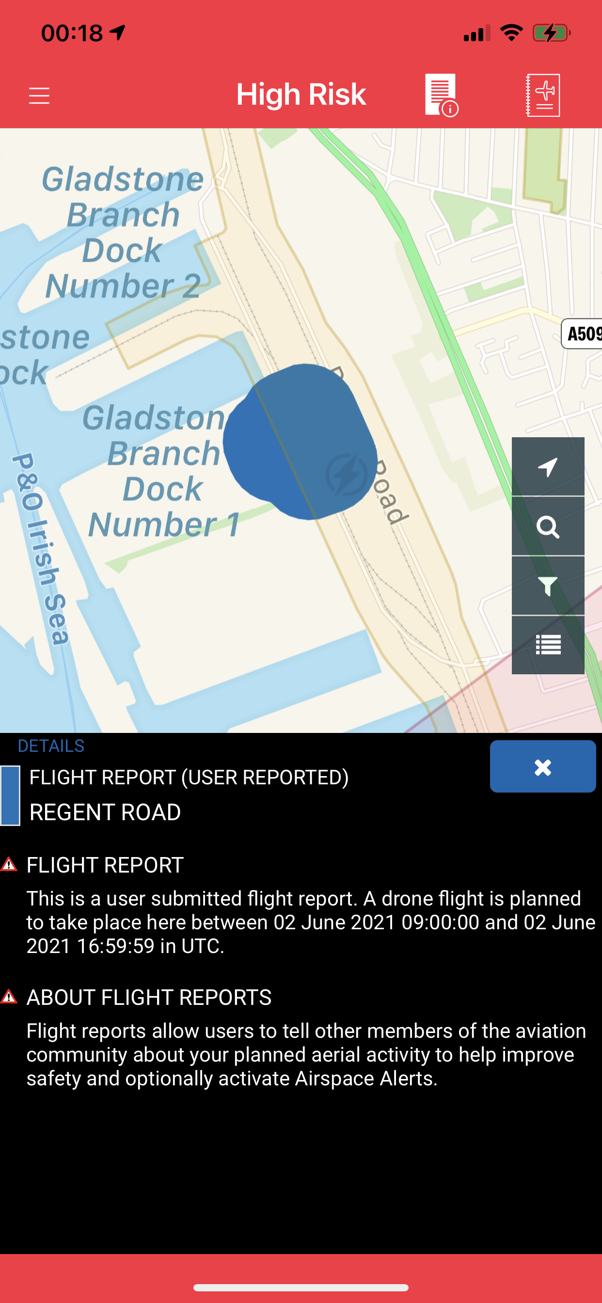
Polygon flight reports are available to commercial subscribers only.
More details here:
So it’s a Dronescene created entry? Cool.
No, sorry if the post I linked to was not clear.
Users of commercial software applications (usually mapping related), that command a high commercial licence fee to use, are able to submit irregular shaped flight reports to NATS.
Lesser mortals, like us lot, are not 
Hi, it can be done in AirMap but after sending the proposed flight plan, apart from in Air map I could never find the flight plan anywhere else, I.e. in Altitude angel or Nats… showing people the proposed flight plan… did I miss something, I think Airmap originates from Sweden but shows all UK bits… ta
I noticed that AirMap didn’t update NATS so never explored it’s features further. 