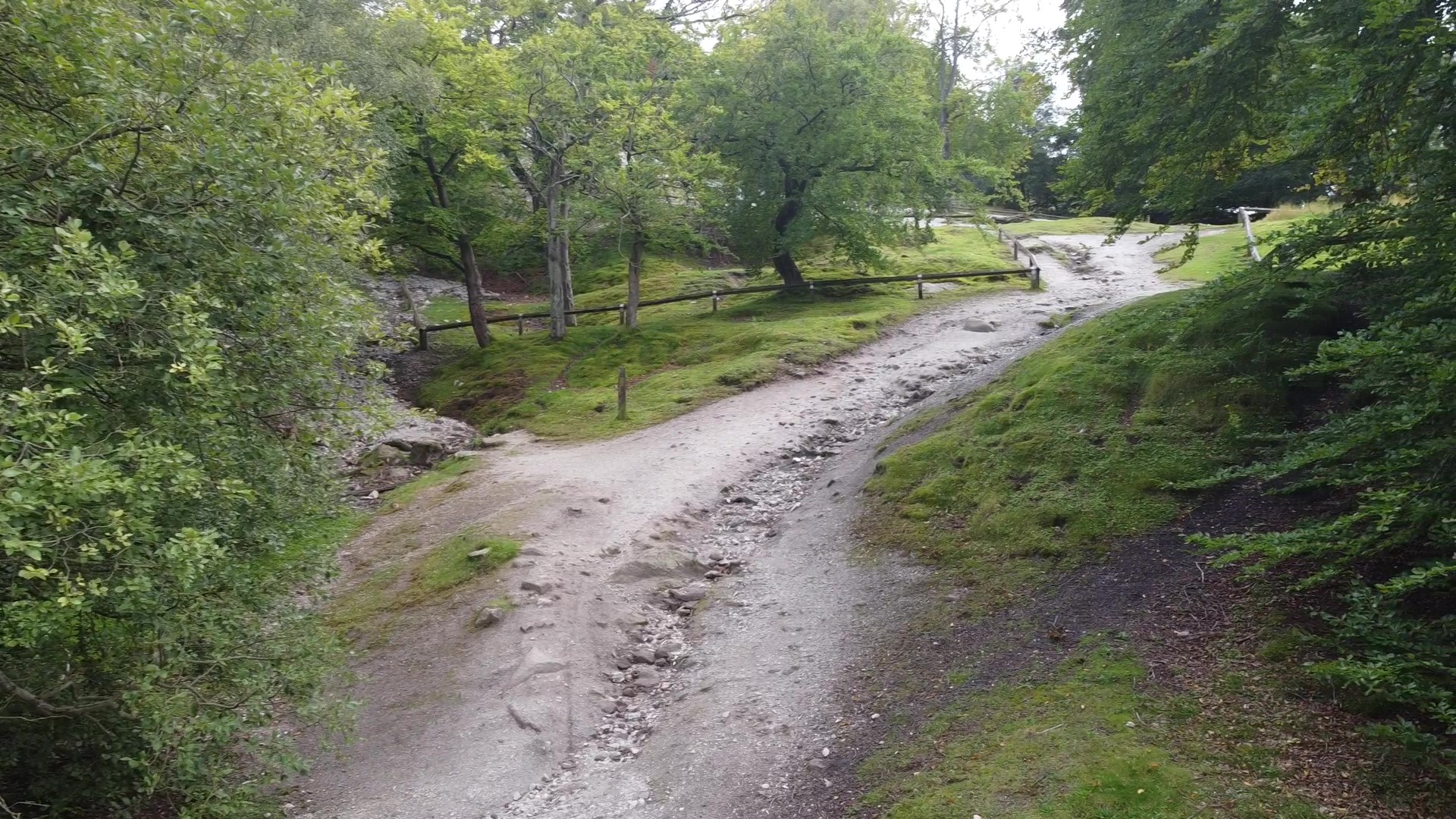
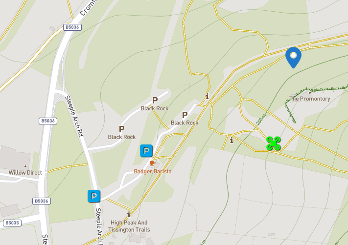
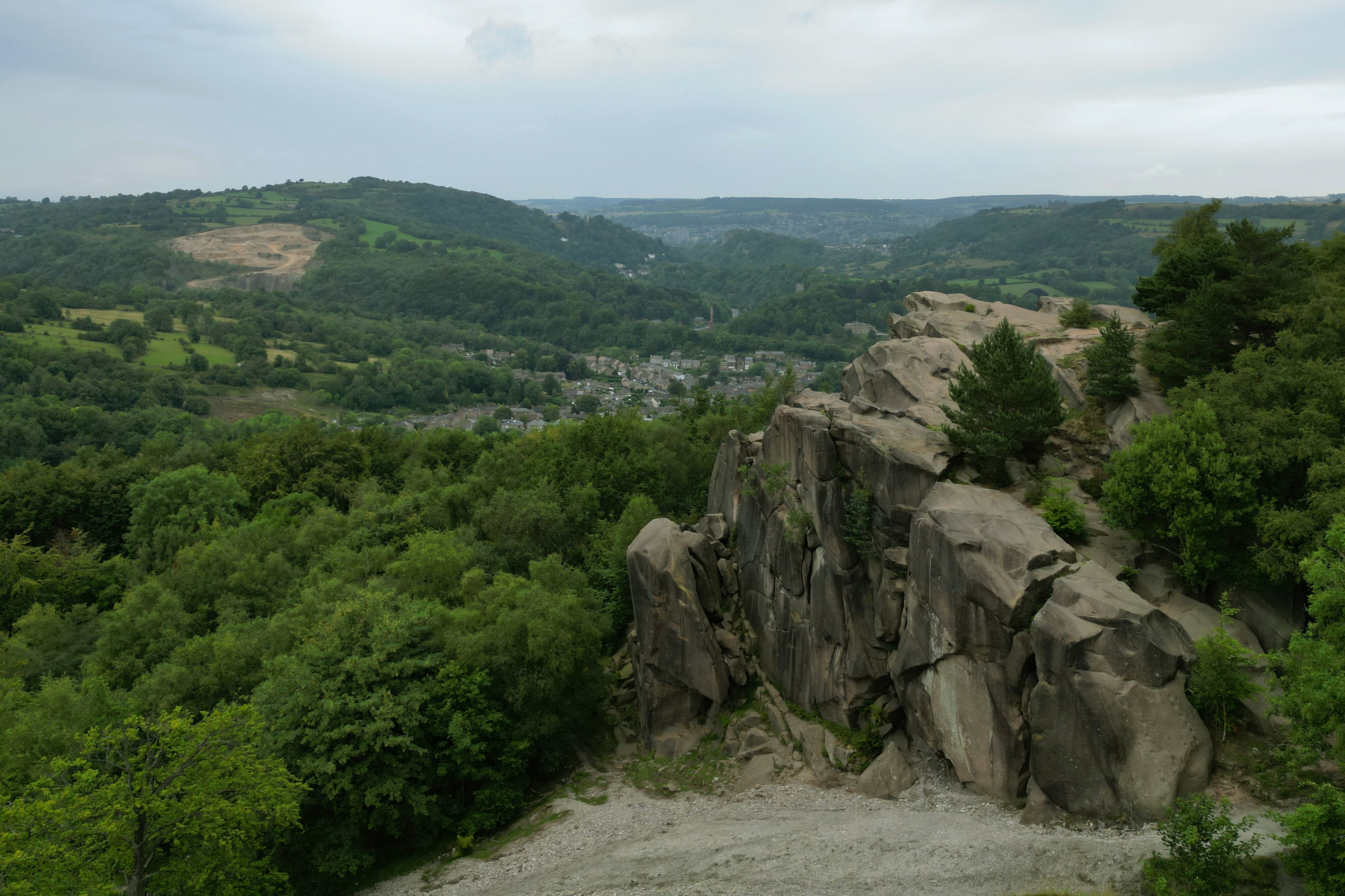
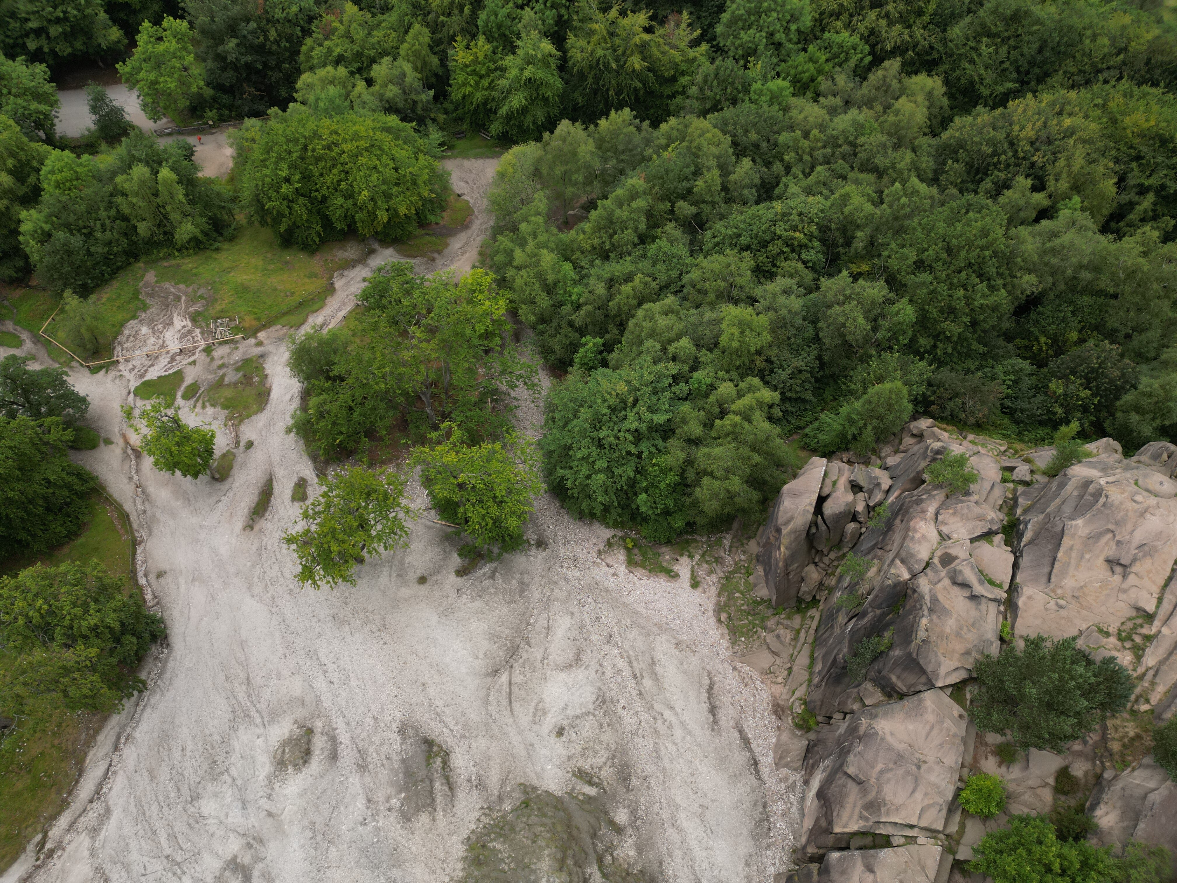
A natural beauty location. With a gritstone outcrop which was a popular climbing location in times past. A tricky site to fly due to heavy woodland surounding the outcrop and the at times heavy traffic of walkers due to the popularity of the High Peak trail walk that passes through the location. Picking less busy times is essential. The location is serviced by three smallish pay and display car parks that get full at peak times but usually fairly empty off peak. Land and car parks are owned by Derbyshire County Council and at time of writing I had uncovered no flight restrictions.
The originator declared that this location was not inside a Flight Restriction Zone at the time of being flown on 04/09/2020. It remains the responsibility of any pilot to check for any changes before flying at the same location.
I want to fly here, but there are no parking or take off and landing markers. Can anyone that has flown here or knows the area add some markers to the map please?
I’ve added some markers. The site has its own dedicated parking which can clearly be seen on the road map view (I know the message text is automatically generated when using the “I want to fly here” option ).
If you’re feeling more frugal, you might manage to park on Steeple Arch Road alongside the cemetery.
As for TOAL, as @Hellcat mentions in the entry, heavy woodland and popularity means the best bet is probably going to be the open scrub land right next to the escarpment itself, if you can find a quiet moment.
Where I first got the rock climbing bug age 15. Great fun when you’re young, but haven’t climbed since I was about 30 ( too many responsibilities and not worth the risk)