I have just added this to the map of places to fly your drone at Drone Scene :
Land owner permission not required.
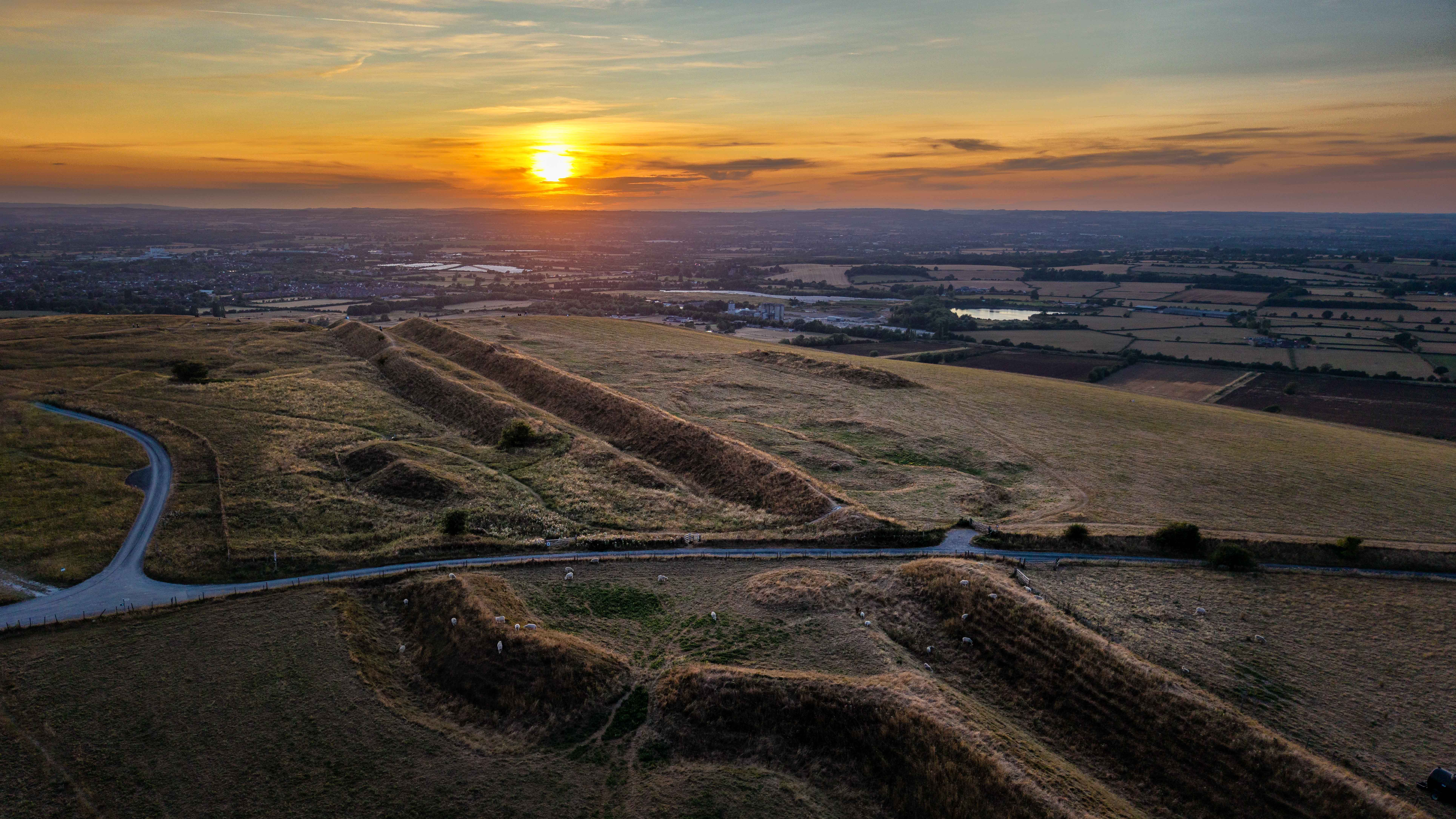
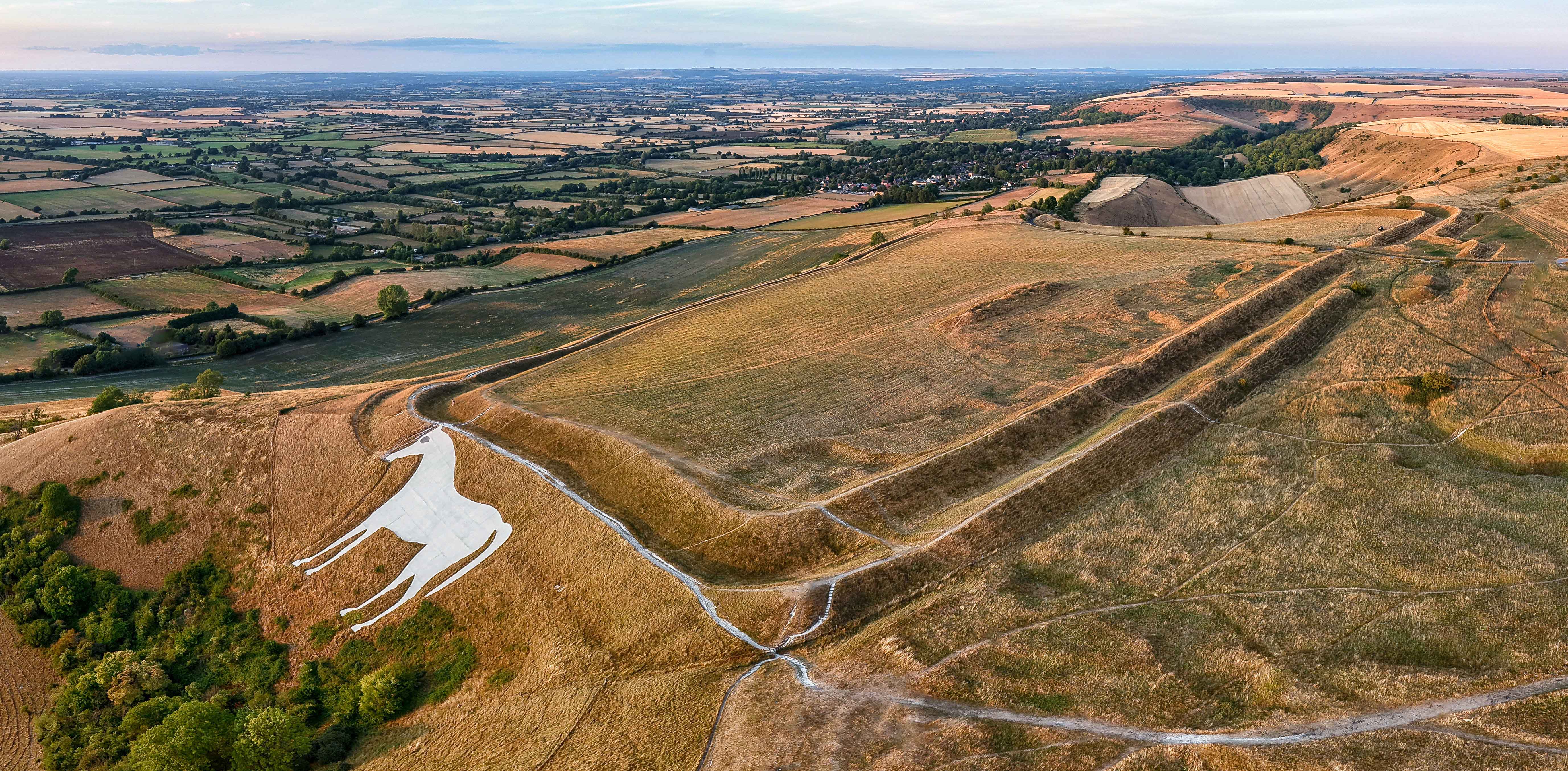
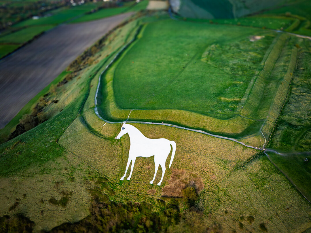
TOAL was from near the horse about a 10 minute walk from the free car park. Amazing views.
Coordinates: .mw-parser-output .geo-default,.mw-parser-output .geo-dms,.mw-parser-output .geo-dec{display:inline}.mw-parser-output .geo-nondefault,.mw-parser-output .geo-multi-punct{display:none}.mw-parser-output .longitude,.mw-parser-output .latitude{white-space:nowrap}51°15′49″N 2°08′37″W / 51.2637°N 2.1435°W / 51.2637; -2.1435
Bratton Castle (also known as Bratton Camp) is a bivallate (two ramparts) Iron Age built hill fort on Bratton Down, at the western edge of the Salisbury Plain esca...
The originator declared that this location was not inside a Flight Restriction Zone at the time of being flown on 28/12/2021. It remains the responsibility of any pilot to check for any changes before flying at the same location.
7 Likes
I’ve flown here too @clinkadink
2 Likes
I’ve just added a new Parking marker to this location @clinkadink
2 Likes
I’ve just added a new Take Off And Landing marker to this location @clinkadink
2 Likes
I’ve flown here too @clinkadink
1 Like
@clinkadink I’ve just added some more media to this location on Drone Scene.
3 Likes
@clinkadink I’ve just added some more media to this location on Drone Scene.
2 Likes
PeteH
18 September 2026 09:09
9
@clinkadink I’ve just added some more media to this location on Drone Scene.
2 Likes