I have just added this to the map of places to fly your drone at Drone Scene:

Land owner permission not required.
Parking & TOAL: 51.051126, -1.973929
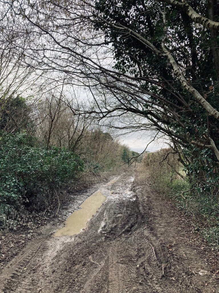
Google Maps sent me down "Old Shaftesbury Drove" (on the south edge of the hillfort). Do NOT go down there. I have been down some farmers tracks in my time, but this takes the biscuit. If you have a 4x4, then maybe … otherwise don't bother. I entered the mud track from the west, about half way in, it was full of craters. When I finished droning, I decided to continue traversing the track east, instead of going back the way I came. It was just as bad. The track lasts for 5 miles, which took about 45 minutes to get through. Anyone else reading this, don't bother - TOAL from the A30.
Chiselbury Camp is another fine example of an Iron Age hill fort sitting on top of a chalk hill in Wiltshire. Although less well preserved than other hill forts in the county, its shape is clearly discernible from ground level, and more so from the air.
It is the side of the hill and its more recent additions which draws visitors to this site though. A set of regimental badges are carved into the hill. Known as the Fovant Badges, the tradition of carving the badges began in World War One when soldiers were garrisoned nearby. The village of Fovant and the surrounding fields were converted into a military camp, where the soldiers would stay before being transferred to the battle front in France.
The originator declared that this location was not inside a Flight Restriction Zone at the time of being flown on 26/02/2023. It remains the responsibility of any pilot to check for any changes before flying at the same location.