I am a new flyer and live near to Farnborough. There are a number of temporary restrictions for the Farnborough Air Show. As of 16:00 UTC today the restrictions are lifted until later in the week. I decided to practice some take offs and landings in the garden at about 17:30 (16:30 UTC) and the Drone Assist app shows it is clear to fly… I have the latest firmware on the drone and the RC, and the Fly-safe database also says it is up to date. The drone absolutely will not allow me to take off. Am I doing something wrong? Is there a problem with DJI system? Is there a way to override the DJI system as I know I am permitted to fly right now.
Hi Andy and welcome to GADC
What does our own DroneScene tell you ?
Hi Chris
Dronescene shows exactly the same as Drone Assist - that there are temporary restrictions next week but currently none are in force.
Yes, very much so ![]()
The DJI flight restrictions often bear absolutely no resemblance of the real world airspace restrictions what so ever.
Suggest you contact DJI support and report the issue.
Take a look at our Drone Scene. This has all the same Altitude Angel / Drone Assist information AND you can overlay the DJI data.
This link will show you just the DJI restrictions …

… and you can go to the layers icon to show the FRZs and Restricted airspace that you’ll find on Drone Assist.

DJI do their own thing. Sizes, shapes, dates … and even their very existence … can all vary from what we need to consider legally in the UK.
DJI control the drone … not Drone Assist / Altitude Angel.
Drone Scene also had other useful layers for UK drone pilots.
The “Fly DJI Challenge” … flight logs showing you blasting your way right through them.
![]()
Thanks for all the replies. So the bottom line is that a cannot fly my drone in my garden because DJI is (wrongly) imposing restrictions which in fact do not exist ? I guess it is not worth trying until after the Farnborough Air Show is over. Looks like DJI have opted for the lazy option of putting in a blanket restriction from the start of the first restriction until the end of the last one
![]()
Many can be unlocked by DJI if you apply via the app.
Have you worked out specifically which DJI Geozone(a) is(are) preventing you from flying?
See my screenshot above - it is the temporary restriction they have put in place. I did try unlocking via flysafe, but when I click on my house it just says “Restricted Zone” and will not let me draw a polygon. If I try and unlock the whole zone then it is asking me to upload proof. I can see the restrictions coming up next week on Drone Assist but there doesn’t seem to be an easy way to output them. On Dronescene I can only see one of them (must be stacked over each other) and it is for Friday although there is one starting tomorrow.
Possible a great addition to the app would be an extra button that pops up a list of all the restrictions in force at the selected location and the ability to download the list into a simple txt or csv file.
I found the Actual NATS bulletin:
So I managed to get an unlock for a 50m circle from the centre of my lawn to an altitude of 30m which allowed me to do the take offs and landings I wanted to practice.
It took 3 attempts applying for the unlock on the flysafe site:
- I had the aircraft SN instead of the Flight Controller SN so I had to change that.
- They would not allow me to unlock the entire GEO zone so I had to submit a custom unlock request.
- As my house was within the restriction zone it would not allow me to draw a circle or a polygon inside the restriction zone. By clicking the import button I was able to manually enter the coordinates (from Google Maps) but entered them in the same order as the show on Goole Maps (lat, lon). They need to be entered lon, lat and then you can see the circle on the map layer. So that was my 2nd failure.
- On the third attempt I got everything right and they approved the unlock. I attached the pdf above as the proof in all cases.
- When I got the approval I turned on the drone and the controller and then went into the Unlock GEO zone option under Profile. The approval was displayed there. Note that I had to also go to the 2nd tab and unlock the aircraft approval, at which point I had to tick the waivers and then enable the unlock.
And then I was able to take off - quite a few hoops to jump through on this first attempt but it should be straightforward the next time.
Thanks for all the input from the members who contributed.
Andy
Welcome to the world of DJI ownership, will be a lot better when DroneHacks is available for the M3 ![]()
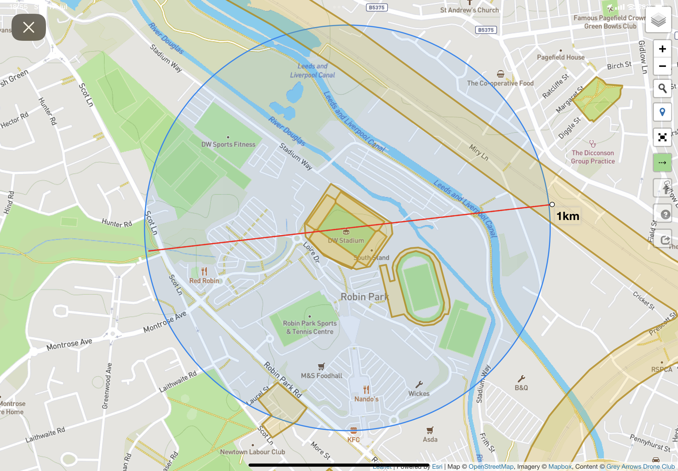
You might want to retract or edit some images as you’ve just told the whole internet almost pricesely where you live.
We have some mad ass people on his forum into all sorts of weirdness, and that’s just the members. ![]()
Thanks, I did think about that. Trouble is they are likely to be greatly disappointed if they do ![]()
Also I can’t see how to edit the post - seems there is a time limit …
There is indeed a time limit of 5 minutes ;o)
I seems you just have to ask someone who has no limits… ![]()
There’s a few about ![]()