DJI Mini 3 Pro - repeat route / fly my garden through the seasons

I want to use a drone to fly my garden to record what is in flower at various times, and how the garden changes over time. I would like to fly the same route each time (so I could splice different seasons shots together).

Father Christmas brought me a Mini 3 Pro :slight_smile: From what I have read it will do Hyperlapse (“time-lapse” rather than “continuous” might be fine for the job …), and 3rd party such as Litchi is not available yet pending SDK being opened (I read people say it may never be for Mini 3, but looking at old threads seems the same was said about the Mini 2 before SDK was launched for that)

For my first flight I tried “flying the garden” along the route I would walk down the paths. First half was OK, took me a while, but I was a bit all-over-the-place; after changing battery second half seems like a much smoother flight … but I forgot to press Record!

No doubt my flying technique could become smoother, but I don’t have a great deal of time to perfect that (and arthritis in my hands) but seems to me that a “Mission” with waypoints, and POI, would make for a much smoother flight.

Perhaps I should buy a 2nd hand Mini 2 (and Litchi) for that purpose? Or a more grown up drone? Can I fly one of those on my own property or do I need Licence?

Bit reluctant to spend a lot of money on a bigger drone for something I’m only going to use, say, once a month to catalogue my garden … unlikely I will find the time to make this a major hobby … but bottom line is that I would like easiest route to getting a smooth camera round the garden, same route each time, probably with a few higher-up shots, and some “fly through the plants” which I can’t do on foot.

Any advice of easiest way to get repeatable flights around my own garden would be appreciated, thanks.

One answer for starters

Mini 2 is same category and weight (ish) as your Mini 3 so same rules/licence apply

@OldCodger

Have you tried using the waypoints feature in the Hyperlapse setting

It may be what you are looking for

2 Likes

Thanks both.

I’ve done a bit of reading …

I don’t think that Hyperlapse will be the answer. I want a flight of, say, 50M down a path for a video duration of, say, 30s (I reckon that would be about walking speed of 3MPH). At 2s hyperlapse, 25?FPS I make that 25mins flight time - as compared to 30 seconds just to film at 3MPH walking speed. I have several routes to film, and each of them potentially multiple times (camera forward, then to the right, then to the left … then at a higher altitude). Doning that as a hyperlapse would take a lot of flight time

Also, I think I am likely to want to “edit” the mission waypoints until I get it right - if I have read correctly it isn’t possible to adjust Hyperlapse once created - is that right?

So my ideal would be:

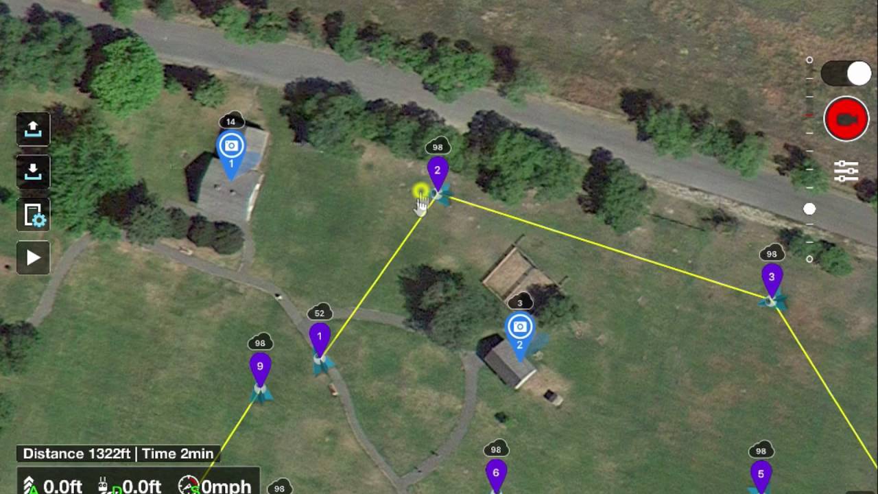
Fly down this path from Waypoint 1 to Waypoint 2 at altitude X

I might want to alter that - for example, at the half way point swing left to view the side path. So I think it important to be able to modify the mission until I have what I want - my expectation is that I will run the mission, view the footage, and only then go “Blast! Should have viewed/done X at that point”. Avoids having to get it right-first-time.

I then envisage copying that mission to create several more:

Fly the same route but with camera pointing right - to view that border. Then another copy with camera pointing left for the other border.

Perhaps also further copies at a higher altitude with camera pointing down a bit

And then “off to the right 5M” so that it flies the line of the path, but through the border.

I don’t know much about Litchi, but hopefully I could just “duplicate” a mission and then adjust the parameters.

So my thinking is to get a Mini 2, start on the project, and then if & when DJI open the SDK for Mini 3 Pro then I can “upgrade” my drone / camera for subsequent videos.

Would appreciate any feedback on if that seems reasonable, if Litchi can do the things that I am hoping for, or if there is a drone model better suited to this usage.

Thanks

Litchi is perfect for this and was covered a few years ago

Very helpful link, thanks, and reassuring what Litchi can do (particularly given that thread was a while back).

I’ve had a look at a useful tutorial

That has also given me the idea that I could fly down the path recording a video of, say, the right border and then fly back and take stills every, say, 5M … which I could then save to folders such that I could see what was planted / in flower month by month - for which the stills would probably be more useful as a quick reference

Litchi has done this forever, its rock solid, only thing that really changes is models are added.

As for DJI releasing the SDK thats a different matter altogether