I have just added this to the map of places to fly your drone at Drone Scene:
Land owner permission not required.
Parking: 51.874381, -2.020935
TOAL: 51.876537, -2.020331
Parking is across the road in Lineover Wood car park, which is free. From there, you walk back down the hill to the road and turn left, then cross the road and there is a clearing next to the farm and reservoir.
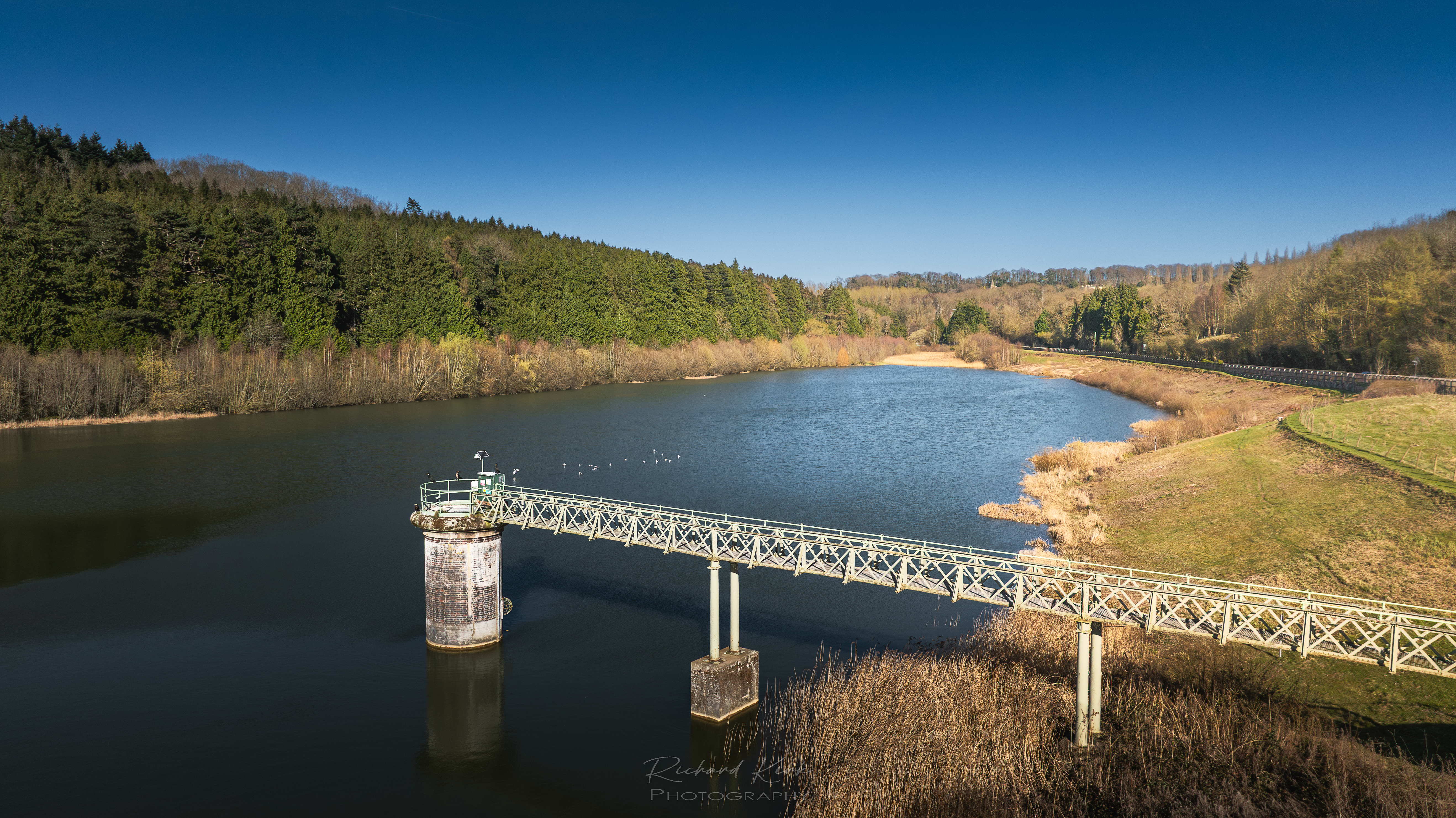
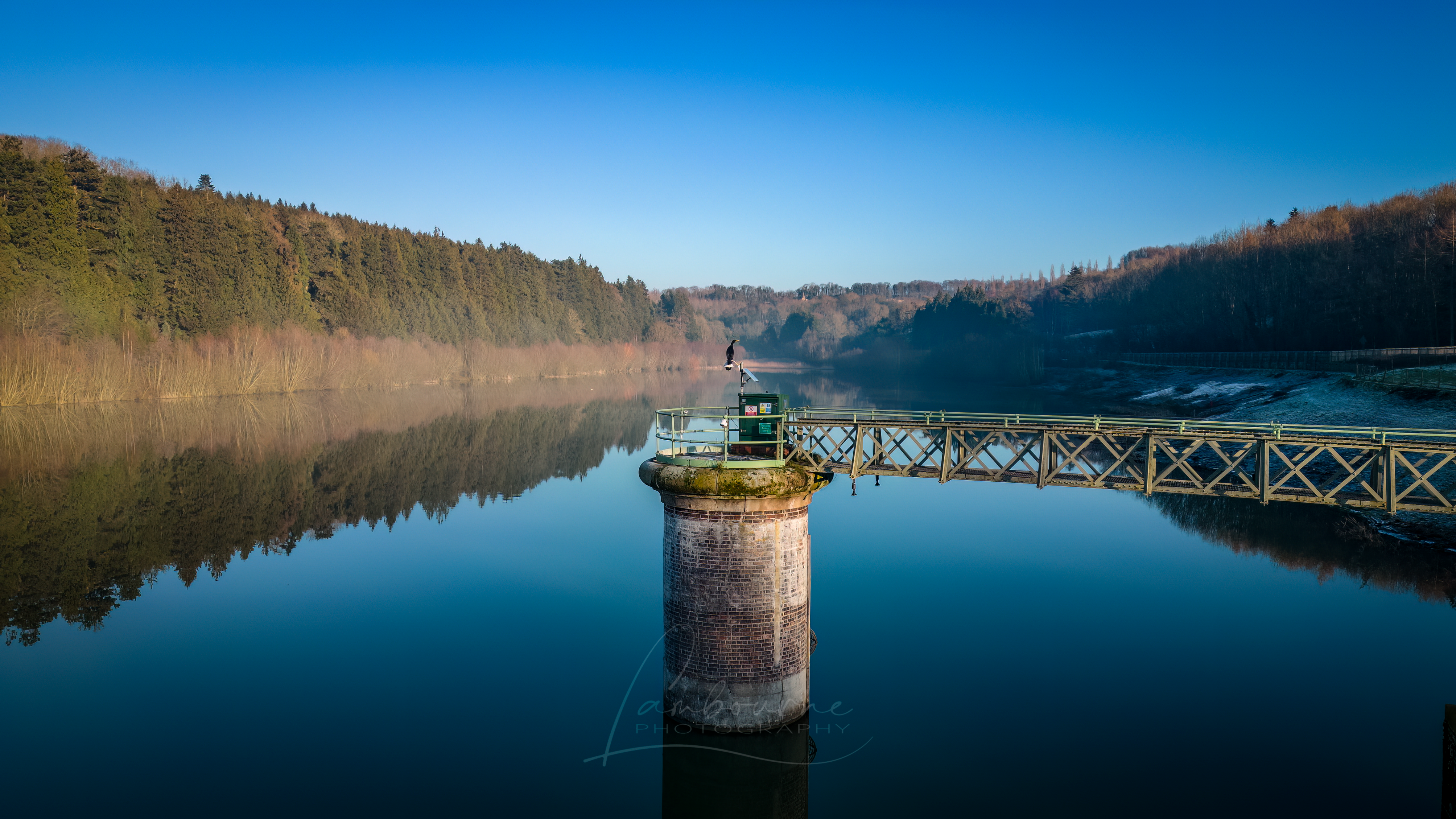
The Dowdeswell reservoir was constructed in 1886. It was developed for public water supply and previously supplied the water treatment works that lies below the dam.
The reservoir suffered from poor water quality and unreliable yield and its ownership was transferred from Severn Trent Water to the Environment Agency in the late 1990s.
It was converted into a flood storage reservoir in 1998 so that flooding of the Chelt Valley downstream of the dam might be mitigated by temporary storage in the Dowdeswell basin.
When the reservoir was acquired by the Environment Agency, the storage level was lowered to allow extra room for flood water retention.
The originator declared that this location was not inside a Flight Restriction Zone at the time of being flown on 21/01/2023. It remains the responsibility of any pilot to check for any changes before flying at the same location.