They no longer exist
Ahh, cheers Sparky. Last time I flew in a FRZ was last year. I knew geofenced zones had been done away with, but didn’t realise this included airport zones as well. If I need to fly within an airport FRZ I will of course seek permission from the relevant ATC ![]()
![]()
Yes DJI no longer has control over where you fly, you just have to tick a box saying you take full responsibility for the flight.
Ahh nice to know ![]()
Went for a flight on Formby beach today, and I couldn’t take off, getting a NFZ (I’m assuming because of Woodvale).
Was a bit miffed because I didn’t have any bars on the phone to try an update.
Walked down to the waters edge and was able to TOAL there, but got a warning for 30m height restriction (which was plenty, but was still surprised at the NFZ)
[Was flying DJI mini4 pro, with RC2]
Update the flysafe database and just tick the box as per @SparkyFPV post above
They don’t stop you taking off anywhere now
That is a cracking shot. Thanks for sharing. NigelG
I believe it asked if i had permission to fly i hit confirm and was able to fly without an issue
I too would like to fly both at Breedon on the Hill and Anchor Church Caves near Repton. I would like to undertake a mapping mission for 3D photogrammetry. I understand that both site come under the same class D airspace.
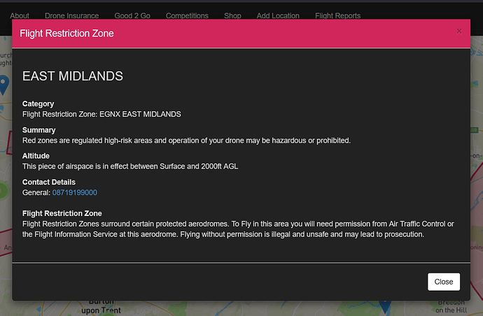
I cannot find the contact details for EAST MIDLANDS CTR 2 can someone point me in the right direction please.
Thanks.
You don’t need permission to fly a drone in the CTR / Class D airspace.
I think it was @SparkyFPV that suggested recently that we remove that layer as it’s not relevant to drone operators.
David, neither site comes under the FRZ for East Midlands. They’re both outside it. Of course they will fall under the CTR but that doesn’t apply to drones. It’s the FRZ you need permission from ATC to fly in.![]()
Thank you for your response, that really helpful.
Thank you for your response, that really helpful.
Thank you for your response, that really helpful.
Just a quick update on Anchor Church Cave There is a ok parking spot at ///intention.lawyer.noise you can feed these directions into Waze if you use it.
I was not sure where on the forum I should post the results of our flights, it was a photogrammetry mission, so some guidance would be super.
here is a link to a 3D modle of the site
here is a link to some closeup work we did too
Your thoughts or comments are most welcome. I have my eye on Breedon Hill Church soon and also Magpie Mine still has a few bits still to do. I am more than happy if anyone wants to join me and have a look at Photogrammetry missions.
Please feel free to move this to a more appropriate section of the forum.
Try a new thread David @Morturn ![]()
People won’t be looking to give feedback on 3D models in a thread titled Drone ID number / East Midlands ATC ![]()
