Finally worked it out - Viewing 3D flight data on Google Earth

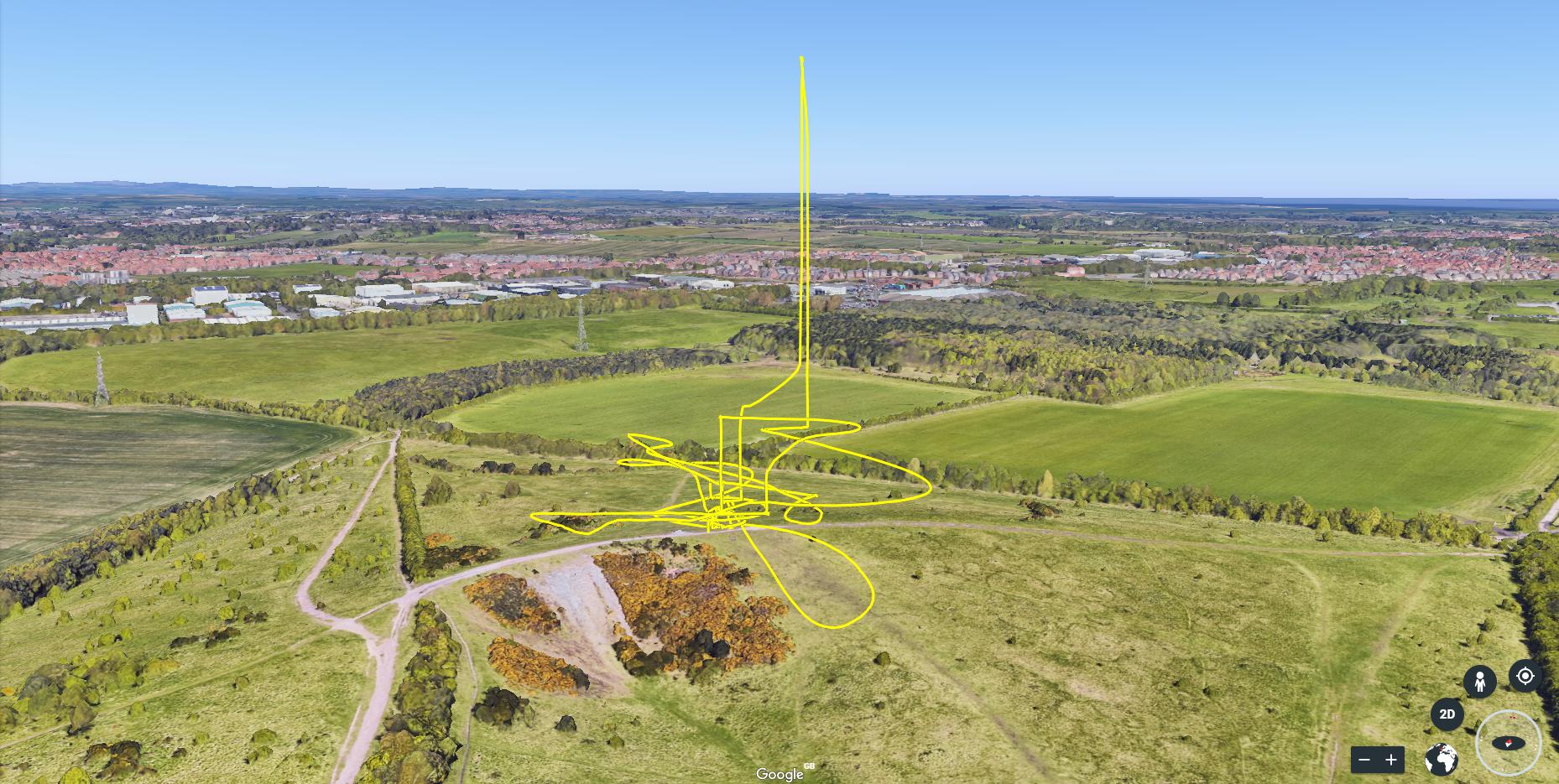
I have spent most of today working out how to get 3D flight data from my Mavic on to Google Earth using the flight logs. After a lot of Googling and YouTube vids I got it sorted and its amazing! I have loaded a few of my flights and all I can say is the next few days are going to be spent in front of my computer watching my flights.

Sad I know but its rely interesting displayed with the height

6 Likes

Love this! Is it fairly simple?

1 Like

@GrahameRob looks a bit iratic but I presume you knew what you where looking for…:grin:

2 Likes

Oh I’ve got to try this :+1:

2 Likes

That looks ace. How is this done ? :blush:

1 Like

I have done a short tutorial vid on YouTube showing how its done. This is my first tutorial so please go easy on me :wink:

10 Likes

Well, there’s my evening sorted :+1:
Very much appreciated :smiley:

1 Like

Brilliant! Thanks so much. Managed to do it all on the phone too which makes life easier

1 Like

No problem, looking forward to seeing other people’s flights. This could be a future challenge…3D drawings in the sky :joy:

Great job @GrahameRob :smiley:

I’ve done something similar with a Litchi mission, in order to view it in 3D before flying it, just to make sure my drone wasn’t going to headbutt any trees along the way :rofl:

Thanks for the how-to video :clap:t2:

1 Like

Virtual Litchi Mission (Windows only) makes that very easy - complete with flying the mission.

I’m miffed I can’t use something like Virtual Litchi Mission on Mac. Have to make to with Google Earth

There is a Chrome browser plugin that works on Mac that achieves (almost) exactly the same thing.

image

1 Like

Oh Yes ! This works very well. Thanks Dave.

1 Like

A replay of one of my flights from yesterday, this drone addiction is getting to me :joy: :sweat_smile: