So I have a little job coming up doing some mapping of a new build site, came across this great little tool for making grid missions in Litchi
Plot your course, height etc lots of options (see the YouTube link below)
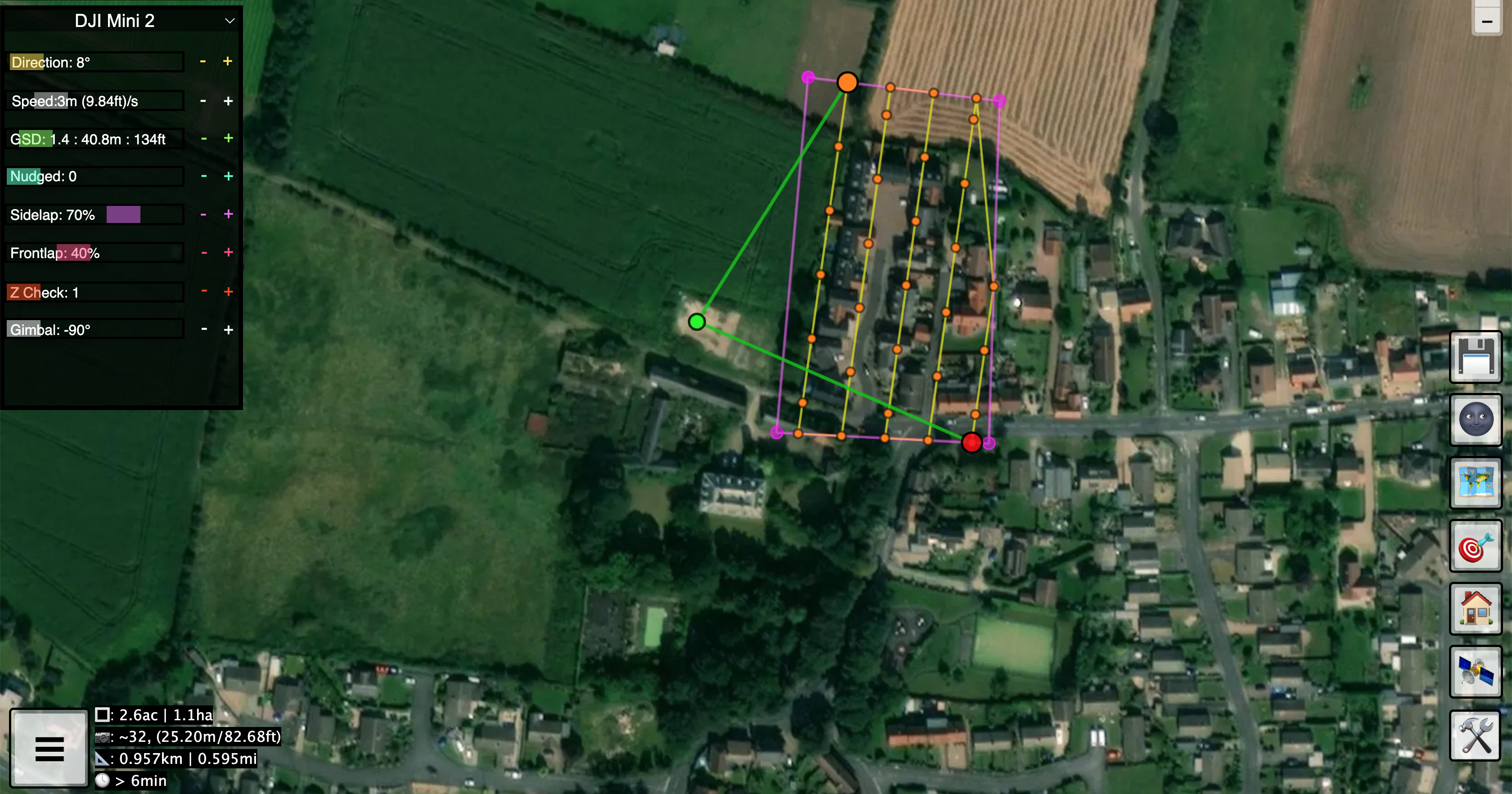
Then export and open it up in litchi

Set it off to do its thing (this was a test over my street at 30m).
31 images, stitched using auto-merge in photoshop (still looking at options on this bit) below is the resized file so it will load here, original was 11000x13000 ish.

