Not sure about Crown Estate, but the lack of public-access NT areas showing for Northern Ireland is simply because NT don’t yet show any such areas in the map data that they make available. They say on their open mapping data website:
Data available for England & Wales. Work is in progress for creating equivalent data for Northern Ireland.
You can see this at their own map portal, which does show land owned by NT in NI, but does not show anything in the Land: Always Open and Land: Limited Access layers. Only those two layers are made available by NT for use in Drone Scene (or any other mapping app).
I just checked the Crown Estate data for Northern Ireland and this is one for @PingSpike to look at - the foreshore mapping for NI is visible on the Crown Estate portal, but not on Drone Scene. It may depend on exactly which dataset Drone Scene is accessing.
Storm Ellen is due to hit here over the next couple of days, hopefully that won’t bugger up your plans too much. Where I’m from (Bangor) it seems to be permanently windy 
Thanks @kvetner @TheFatController.
I was looking at going over to Giants Causeway on Friday which is NT and wasn’t sure if ok to TOAL around there but there seems to be plenty Crown Estate foreshore about mind.
Unfortunately, yes, the forecast is shite and Friday would be my shot at it so probably won’t even pack the Mavic Pro 
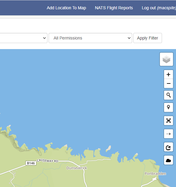
@Dun_na_nGall The Giant’s Causeway is probably the biggest no-no location for drones in Northern Ireland (and also the busiest as far as tourist numbers go), however if you don’t mind a walk you can park at Dunseverick and walk along the clifftop to get your shots. If you look at this video I did you can see NT land starts at the stone marker (around 1.40). Anywhere beyond that just follow the drone code and you’re good to go.
Another ‘must-see’ in the area is The Carrick-a-Rede rope bridge. Flying isn’t allowed there either but you’ll get some good shots from Portaneevy car park on the B15 on the road out from Ballintoy towards Ballycastle. To be honest the stones are overrated anyway, and there is plenty of equally good scenery anywhere along the North Antrim coast from Portrush all the way down to Larne. Pack your Mavic, you might get a lucky break and you’d kick yourself if you’d left it at home and an opportunity arose. Good luck with the weather  .
.
3 Likes
That would make a fine addition to the Dronescene where to fly map … 
1 Like
Thanks for the tips @TheFatController
I’ve been to Giants Causeway before and agree it’s not as mesmerising as made out but the kids haven’t been or to the rope bridge either, so we’ll be there anyhow along with a few stops to the Game of Thrones spots  before we head to Omagh, would you know of anywhere near Omagh that would be worth taking off around?
I know, I would be kicking myself if I didn’t have it with me so no doubt it’s gonna be in the bag though it can be difficult to fly when your with the family as the wife doesn’t have the patience!
I’m sure there’s plenty here that have the same problem!?
Anyway, whatever the weather, the Guinness will be good!
Cheers
Yes @macspite, that video was done with an Osmo Pocket, if/when I get around to heading there again with the Mavic I’ll add it to Drone Scene for sure  .
.
I have the same problem @Dun_na_nGall, my wife also doesn’t have a lot of patience for hanging around while I fly so I tend to use the Osmo Pocket more when I’m with her, as she’s used to that. When I worked for Hovis we had a depot in Omagh but although I was there several times a month I didn’t get to see much of the area, nor did I have a drone then. One location that’s definitely on my ‘to-do’ list is Beaghmore Stone Circles just off the main A505 about half an hour outside Omagh in the direction of Cookstown, and well signposted (Brown Tourist sign). You might be able to fit that in?
1 Like
I’ve just recently got the Osmo Mobile 3 so I think that will be the compromise when out with the family.
Thanks for pointing out the stone circles, I can maybe see myself getting an early morning over there 

1 Like
I didn’t get the MavicPro in the air yesterday but got this pano at Giants Causeway just before we got totally soaked!
Hope I’ve uploaded it OK 
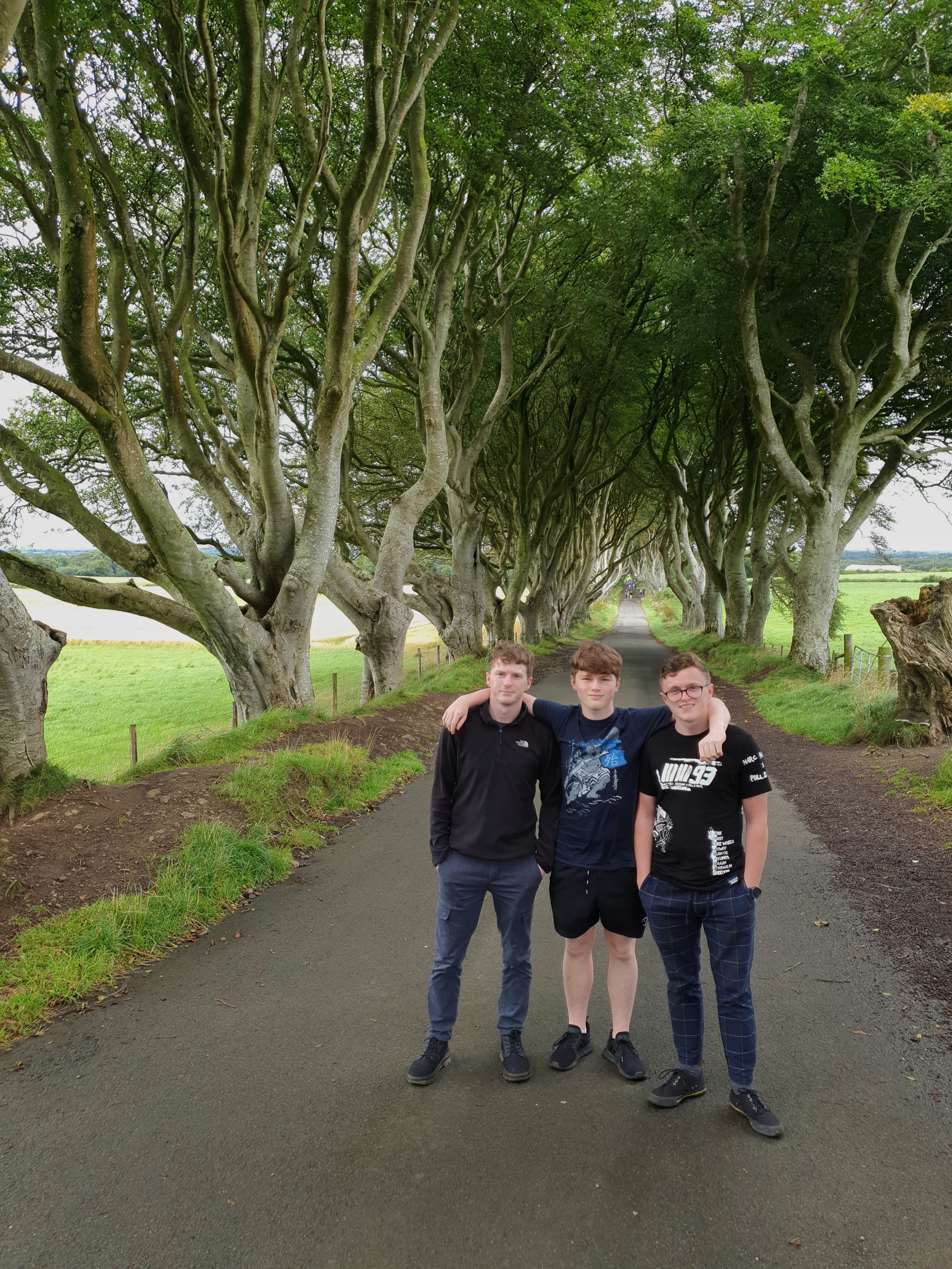
This is my lads on their way to Kings Landing!
 of:toilet:’s
3 Likes
The weather certainly helped to keep people away!
We were early doors to Giants Causway so that helped too, hardly anyone there.
@PingSpike there’s no motor bike fans in the family I’m afraid, he probably just liked the pretty pictures on his top!
1 Like
Heya, regarding the Crown estate, does the Mt bylaws over ride the crown estate rules for areas that are under their control?
Was meant to be NY as in National trust, sorry for the typo.
Assuming this means the National Trust byelaws, then if you’re standing on Crown Estate land then by definition you’re not on National Trust land. The NT byelaws include:
- No person shall on Trust Property wilfully obstruct, disturb, interrupt or annoy
any other person in the proper use and enjoyment of such property or wilfully hinder,
obstruct, disturb, or interrupt any Officer of the National Trust in the exercise of his
powers and duties under the National Trust Acts 1907-1953 or these Byelaws.
If challenged while standing on Crown Estate and flying over NT land, you’d presumably have to make the argument that you were not “on Trust Property”.


 ?
? 