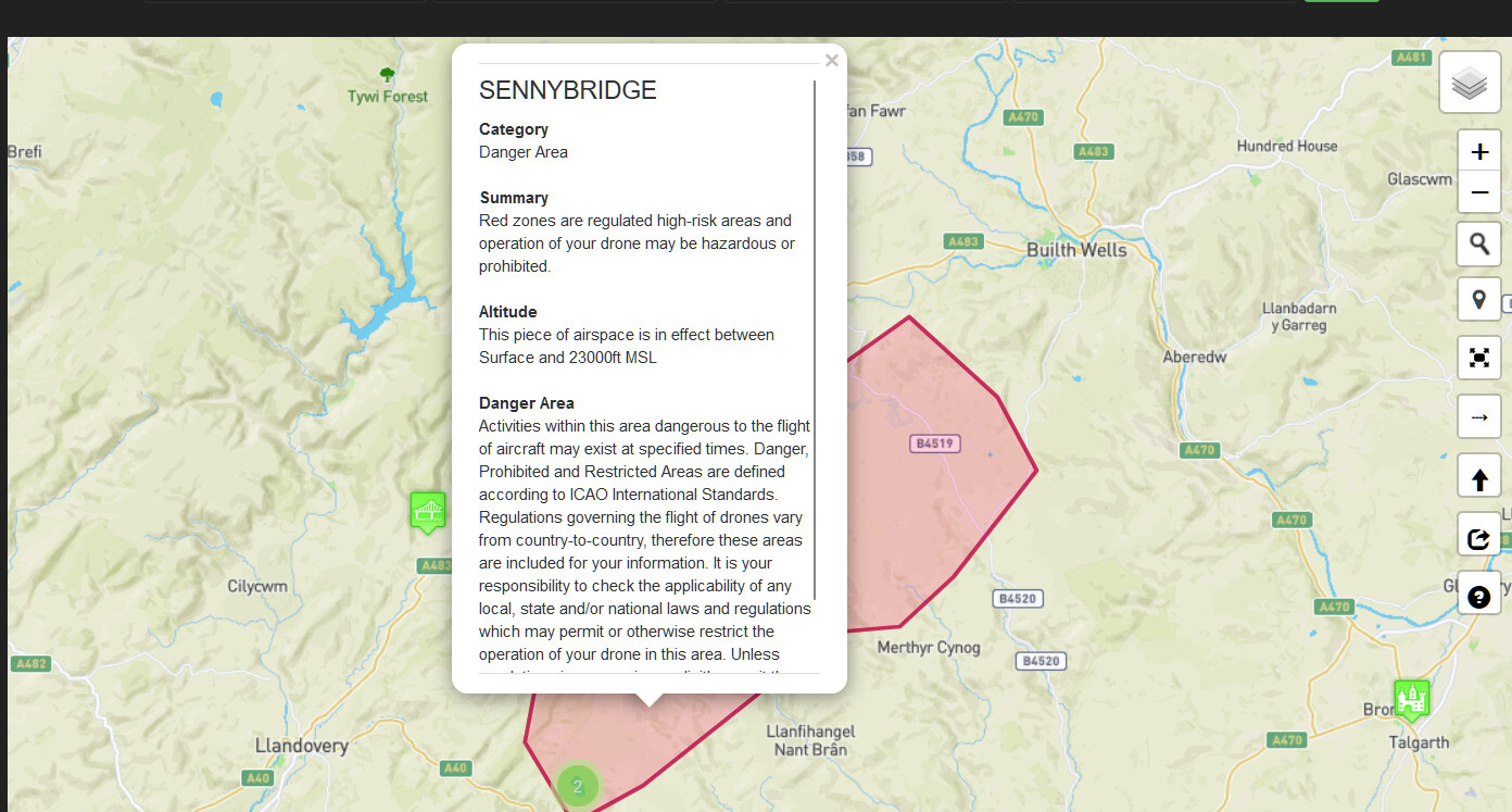
This is a purely hypothetical question as I have no intention of flying in this area, but noticed the red danger area on Drone Assist and Drone Scene when I was out and about the other day, and I’m still trying to get my head around where I can and can’t fly when it comes to zones similar to this.
What would be the situation in regards to this area? And are there a set of layers in Drone Scene which will tell me where I can definitively fly without extra permissions?
Sorry if this is similar to other questions, I’m just trying to get everything clear in my head.
SENTA publishes range activity and firing times in addition to the danger areas themselves having times attached.
When its active it can be very active with low altitude rotary and bigger transport a/c.
They also routinely use GPS and UAS denial systems in exercises there (again NOTAM’d).
Technically the entire area is a no-fly when the danger area is active.