I have an unexplained incident from 2019 while flying a Mavic Air (which behaved impeccably in previous flights and flights after the one shown below.
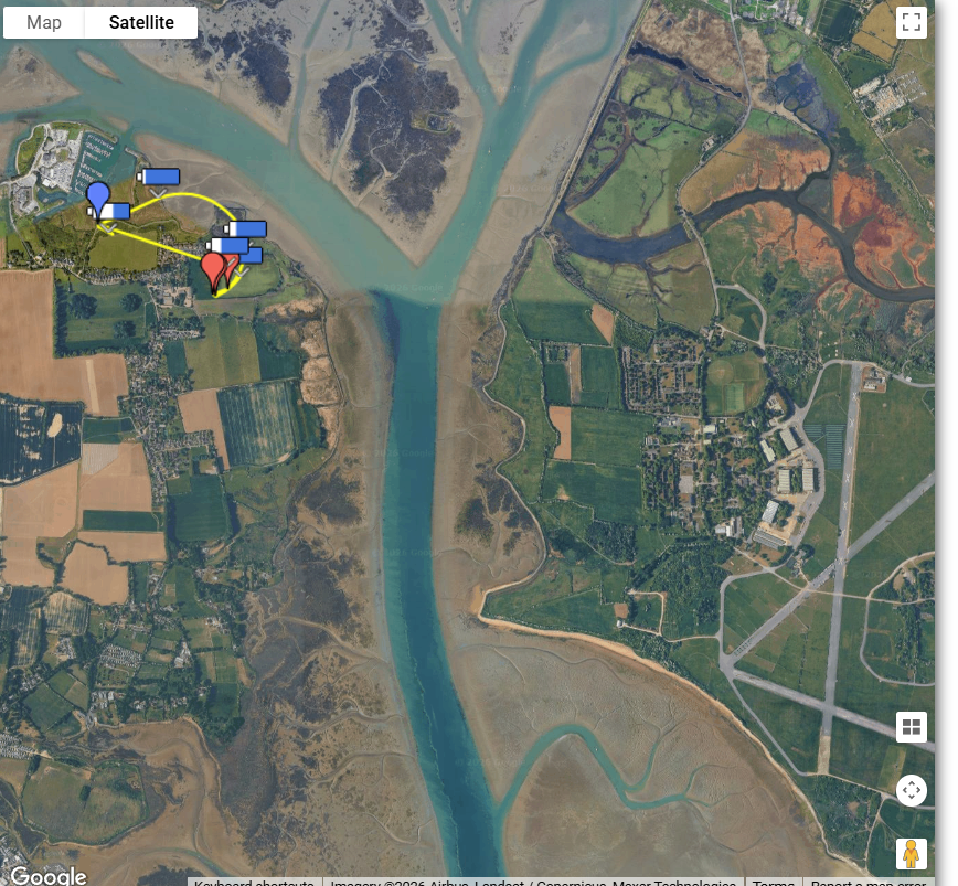
It was a Litchi waypoint flight over Northney Common, Hayling Island. It approached but did not enter the zone for Thorney Island, an ex RAF station used by 12 Regiment Royal Artillery. One of the regiment’s duties was/is ithe devevelopment and deployment of anti-drone measures.
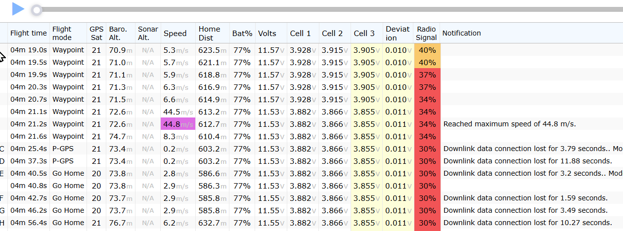
As you can see above the max speed reached at one point - highlighted in purple was 44.7 metres/sec - a little over 100mph. (I’m still not allowed to claim that as a record on the leaderboard … )
So - a flight that took me close to a military base where they were trialling anti-drone measures - close but not within their restricted area (The runways are no longer in use). A drone that had performed flawlessly with both Litchi autonomous and Litchi manual flights as well as with GO4 and never exhibited a fault after this flight. And an anomalous 100mph speed recording.
I agree 100%. W3W doesn’t fail gracefully - get one word wrong and you could be in another continent. Please can we have something else in drone scene?
Have you stopped some random person in the street and asked them to give you an OS grid reference to 6 figures, as to where you currently are, exactly?
Now, ask them to give you the same w3w reference.
I bet you can get to, and search, a 3m x 3m square w2w reference before they can give you an OS reference.
Postcodes will get you close, and fail gracefully. If you are not going to use a grid-based system, postcodes are the best alternative. They aren’t perfect - postmen don’t deliver to wild places - but for accessing a location by car, they work.
I don’t want to go too far off topic on this thread, but am happy to open a new one to discuss in more detail if you require: you are quite mistaken.
The only reason your average person in the street can’t give you a numeric grid reference is that they have downloaded the W3W app instead of the on GPS OS one (for Apple) or the Grid Reference one (for Android) - both available on your favoured app store.
The 3m x 3m square is actually very difficult to find, as that degree of precision exceeds the accuracy of handheld civilian GPS devices (which are typically accurate to about 16m).
The OS grid has been around since William Roy established the baseline in 1784. He adopted a metric grid system - remarkably little changed until today. The erroneous assumption that it is complicated is perhaps symptomatic of a general lack of numerical confidence (“I can’t do maths”) and a lack of opportunities to make money out of it. W3W reinvents the wheel, using a polygon rather than a circle, and sells organisations this inferior product.
Why am I mistaken that 95% of people can give you a w3w and 5% can give you 6 figure OS reference?
I do agree that OS reference is more useful to rescue services, but surely, w3w is a better guidance than “dunno mate, somewhere on the moors about 15 miles from the city- I dunt do maps an’ sh*t like that”.
You are mistaken that W3W is easier. They could download a tiny free app, with no ads, that just gives them the numbers. They literally just have to read it off their screen. They don’t have to be able to ‘do’ maps, and it works even if their phone doesn’t have a signal, or their data allowance has been used, etc.
You assume that the 95% have W3W on their mobile phones, that the phone is charged upand working, and that they know how to use the software. A paper map is more straightforward and more permanent.
No. I assume most people already have w3w on their phones and don’t have an app for OS.
You assume people DO have OS already downloaded on their phones. Because it’s easier for you to find them.
Is it easier to find someone using an app they have, or easier to find them within app they don’t have, and can’t download because they dont have enough signal on a Moor near some random city?