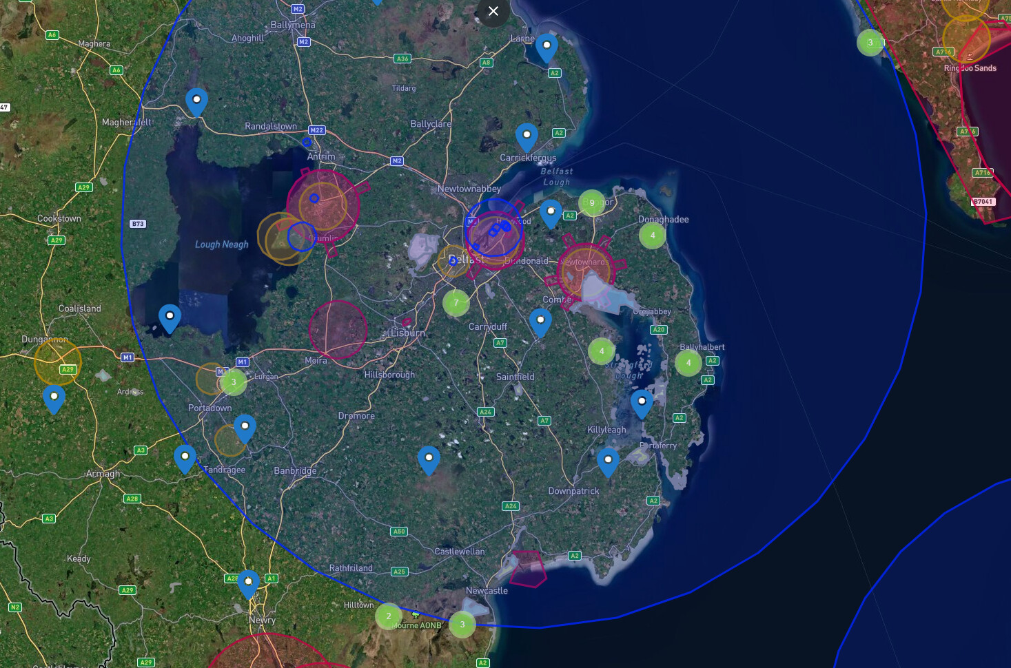
What I find odd is the fact that it’s not centred on Belfast international airport. It appears to be centred somewhere in the Irish Sea
Approach frequencies can start from 50 miles out from an airport, it doesn’t have to be centered actually on it.
1 Like
That’s my GIS side coming out ![]() a ‘buffer’ is usually centred on the source point, but as Le60Lad said it appears to be centred on the city airport.
a ‘buffer’ is usually centred on the source point, but as Le60Lad said it appears to be centred on the city airport.
Maybe I’m doing something wrong, but when I zoom out all restrictions disappear ? I wasn’t able to see the full circle so couldn’t work out where the centre was
Really FFS! ![]()
![]()
Full NOTAM Text
A) EGTT B) 202603301900 (UTC) C) 202603312000 (UTC) E) GNSS(GPS) SIGNAL JAMMING. JAMMERS LOCATED PSN 513010N 0000727W (VICTORIA EMBANKMENT). ACTIVITY MAY AFFECT ACFT WI 10NM SFC TO 34600FT AMSL OR ABOVE (ALL DIRECTIONS). MAY ALSO AFFECT AIRBORNE ELECTRONIC SITUATIONAL AWARENESS DEVICES AND UAS CONTROL. GNSS(GPS) RECEIVERS MAY SUFFER INTERMITTENT / TOTAL FAILURE OR GIVE INCORRECT POSITION INFO. FOR INFO/CEASE JAMMING 07770 444022 OR 07880 503583 AR-2026-2454/03.
1 Like